Avanet is a new online platform that allows people to record and share mountain safety observations in real time. Currently you can sign up for free as a recreational user and have access to all of the mapping, route planning and observation tools that it offers.
You can sign up or learn more here.
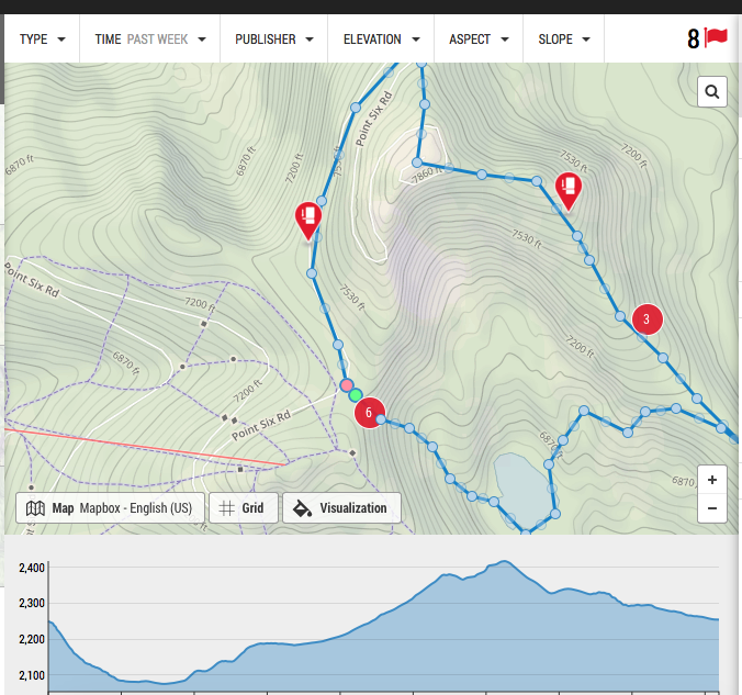
I had a chance to play with the program both in the field (using the mobile app) and at home, and feel like it is one of the better mountain safety tools to come out in the last several years. Here is a short video that demonstrates the potential of the program.
Technology is changing the way we interact with the mountains, and for better or for worse it seems like it is here to stay. With so many people in the mountains these days, why not use what we collectively know to make it safer for everyone? With avalanche danger so variable and hard to assess, why aren’t we sharing what we see?
It seems to me like our mountain community would benefit from a single language, a single place to put all of the information we gather every single time we step into the mountains, dig in the snow, or jump on a test slope. With so many avalanche deaths in the west these last two weeks, why not try to do something about it? Who knows, maybe that pit you dug, or that avalanche you observed and shared could be the tipping point for someone. It could be that little thing that makes them think twice before dropping in. You never know.
As always, information is only as good as the folks recording it, so if you’re unsure about the language we use to talk about avalanches, or how to use any of the technology, sign up for one of our courses, we’d be happy to tell you all about it!


