Posted:
Jan 5, 2015 @ 6:39 am

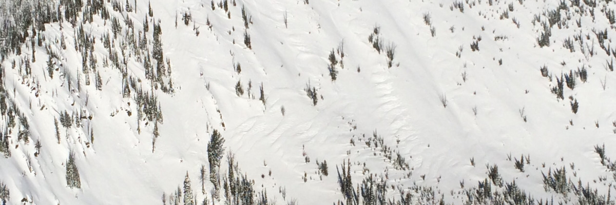
An avalanche warning is in effect for the west central Montana backcountry above 5000 feet. The avalanche danger is now HIGH on terrain steeper than 30 degrees.  Natural avalanches are likely, human triggered avalanche are very likely. Travel in avalanche terrain is not recommended.

Good morning backcountry skiers and riders, this is Steve Karkanen with an avalanche warning for Monday, January 5, 2015. This avalanche warning will expire at 0600 on January 6. The warning will be extended or terminated at that time.

This information is the responsibility of the Forest Service and does not apply to operating ski areas.


Weather and Snowpack

Heavy new snow and high wind has increased the avalanche danger.

This morning, area SNOTEL stations have received around 1.5 to 2.0 inches of snow water or about a foot of new snow.  Temperatures are in the high twenties the wind is from the west gusting to 44 mph on Point Six.

This storm is  warm with increasing snowfall intensity rates expected throughout the day.  This storm snow is much heavier than previous snow and is forming dangerous slabs especially on lee terrain.

These are very dangerous avalanche conditions, travel in avalanche terrain is not recommended.

Avalanche specialists will be in the field Monday and Dudley will issue the regular avalanche advisory Tuesday morning.


READ FULL ADVISORY  

Problem 1 - Heavy new snow

  • TYPE

    storm-slabs

    Storm Slabs

    Release of a soft cohesive layer (a slab) of new snow which breaks within the storm snow or on the old snow surface. Storm-slab problems typically last between a few hours and few days. Storm-slabs that form over a persistent weak layer (surface hoar, depth hoar, or near-surface facets) may be termed Persistent Slabs or may develop into Persistent Slabs.

  • SIZE

    3-4

    1-2 (Small-Large)

    The potential size of avalanche resulting from this problem.

  • LIKELIHOOD

    Likelihood-6

    Likely/Very Likely

    The likelihood of an avalanche resulting from this problem.

  • ADDED DANGER

    Increased Slope Danger

    Increased/Added Danger

    There is an increased risk of avalanches on these slopes:

    N - North
    NE - Northeast
    E - East
    SE - Southeast
    S - South
    SW - Southwest
    W - West
    NW - Northwest

As much as 30 inches of storm snow is in the 48 hour forecast for mountain locations above 5000 feet.

Problem 2 - Wind slabs

  • TYPE

    wind-slabs

    Wind Slabs

    Release of a cohesive layer of snow (a slab) formed by the wind.  Wind typically erodes snow from the upwind sides of terrain features and deposits snow on the downwind side.  Wind slabs are often smooth and rounded and sometimes sound hollow, and can range from soft to hard. Wind slabs that form over a persistent weak layer (surface hoar, depth hoar, or near-surface facets) may be termed Persistent Slabs or may develop into Persistent Slabs.

  • SIZE

    3-4

    1-2 (Small-Large)

    The potential size of avalanche resulting from this problem.

  • LIKELIHOOD

    Likelihood-7

    Very Likely

    The likelihood of an avalanche resulting from this problem.

  • ADDED DANGER

    Increased Slope Danger

    Increased/Added Danger

    There is an increased risk of avalanches on these slopes:

    N - North
    NE - Northeast
    E - East
    SE - Southeast
    S - South

High winds are moving snow onto leeward terrain.

MAP

Stuart SNOTEL

1.9" SWE 9" new snow

Hoodoo SNOTEL

1.3"SWE or 9" new snow

Twin Lakes SNOTEL

1.9" SWE 10" new snow

Saddle Mountain SNOTEL

1.9" SWE 10" new snow

North Fork Jocko SNOTEL

2.2" SWE 10" new snow.

Area SNOTEL precipitation reports as of 0600 01/05/2015.

FORECAST & OUTLOOK

Heavy mountain snow with increasing temperatures are expected. Rain is a very real possibility below 6000 feet today.

This information is the sole responsibility of the Forest Service and does not apply to operating ski areas. The avalanche danger rating expires at midnight tonight but the information can help you make a more informed decision regarding travel in avalanche terrain for the next few days.

Our advisory area includes National Forest System lands in the Bitterroot Mountains from Lost Trail Pass north to Granite Pass, the Rattlesnake Mountains north of Missoula and the Southern Swan and Mission Mountains near Seeley Lake, MT. Avalanche information for the Lookout Pass/St. Regis Basin area is available from the Idaho Panhandle Avalanche Center.