Posted:
Jan 13, 2015 @ 6:25 am

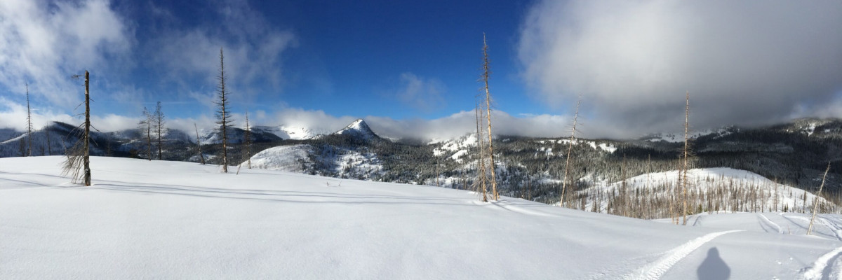
Above 6000 feet, the avalanche danger is MODERATE on wind loaded terrain steeper than 35 degrees. Natural avalanches are unlikely, human triggered avalanches are possible. It is still possible to trigger an avalanche on steep leeward terrain or in shallow snow in rocky terrain.

On terrain less steep than 35 degrees and below 6000 feet, the avalanche danger is LOW.  Natural and human triggered avalanches are unlikely. Conditions are generally safe but be aware that unstable snow exists in isolated areas such as pockets of snow less than 4 feet deep that are in rocky areas that have been wind loaded from the top or sides.

Good morning backcountry skiers and riders!  This is Steve Karkanen with the January 13, 2015 backcountry avalanche advisory issued by the West Central Montana Avalanche Center. This information is the responsibility of the Forest Service and does not apply to operating ski areas.

Mountain temperatures are in the twenties this morning with 20 mph winds from the west. Skies are cloudy and we have not received any precipitation the past 24 hours.

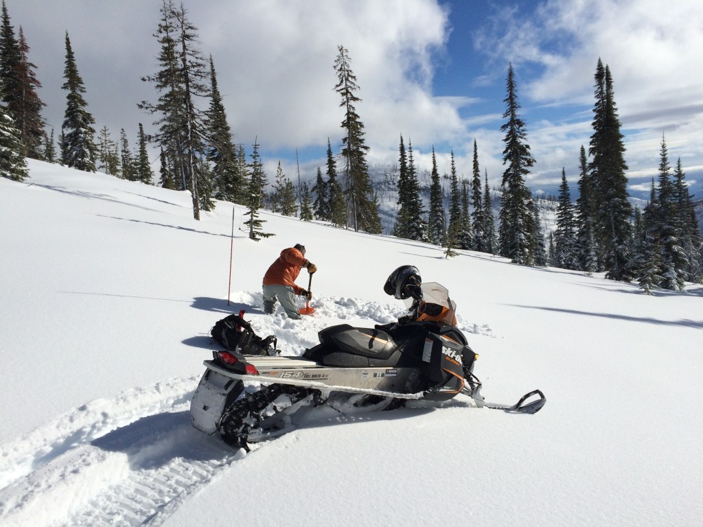
Moderate temperatures the past few days have increased the overall stability of our mountain snowpack.  The deeper weaknesses we’ve been talking about have gained a lot of strength but still demand attention. It’s enough to keep the adjective rating at the moderate level.   What we’ve seen the past 2-3 days is giving us more confidence that we’ve transitioned out of the more dangerous conditions of the past several weeks and are now watching how the surface layers will react with new snow.


READ FULL ADVISORY  

Problem 1 - Snow on an ice layer

  • TYPE

    loose-dry

    Loose Dry

    Release of wet unconsolidated snow or slush. These avalanches typically occur within layers of wet snow near the surface of the snowpack, but they may quickly gouge into lower snowpack layers. Like Loose-Dry Avalanches,they start at a point and entrain snow as they move downhill, forming a fan-shaped avalanche. They generally move slowly, but can contain enough mass to cause significant damage to trees, cars or buildings. Other names for loose-wet avalanches include point-release avalanches or sluffs. Loose-wet avalanches can trigger slab avalanches that break into deeper snow layers.

  • SIZE

    2-3

    1 (Small)

    The potential size of avalanche resulting from this problem.

  • LIKELIHOOD

    Likelihood-3

    Possible

    The likelihood of an avalanche resulting from this problem.

  • ADDED DANGER

    Increased Slope Danger

    Increased/Added Danger

    There is an increased risk of avalanches on these slopes:

    N - North
    NE - Northeast
    E - East
    SE - Southeast
    S - South
    SW - Southwest
    W - West
    NW - Northwest

The small amount of new snow readily slides on the rain/melt-freeze crust that formed last week. A thin surface hoar layer can be found on top of this crust in many areas. This will be the next avalanche problem to watch for during the next storm.

Problem 2 - Weak layers are getting stronger

  • TYPE

    persistent-slabs

    Persistent Slabs

    Release of a cohesive layer of soft to hard snow (a slab) in the middle to upper snowpack, when the bond to an underlying persistent weak layer breaks.  Persistent layers include: surface hoar, depth hoar, near-surface facets, or faceted snow. Persistent weak layers can continue to produce avalanches for days, weeks or even months, making them especially dangerous and tricky. As additional snow and wind events build a thicker slab on top of the persistent weak layer, this avalanche problem may develop into a Persistent, Deep-Slab.

  • SIZE

    3-4

    1-2 (Small-Large)

    The potential size of avalanche resulting from this problem.

  • LIKELIHOOD

    Likelihood-2

    Unlikely/Possible

    The likelihood of an avalanche resulting from this problem.

  • ADDED DANGER

    Increased Slope Danger

    Increased/Added Danger

    There is an increased risk of avalanches on these slopes:

    N - North
    NE - Northeast
    E - East
    SE - Southeast
    S - South

In some higher elevation locations we still find a faceted layer now deeply buried that still produces Q1 failures at high CT scores (CT28Q1) but is no longer propagating in ECT testing.

Images taken January 12 on the Seeley Lake Ranger District.

FORECAST & OUTLOOK

Missoula Weather is forecasting a weak ridge of high pressure to pass during the next couple of days.  We can expect sunny days and warmer than normal temperatures until Thursday when the ridge breaks down allowing a wet, windy and warm pattern to develop with a good chance for heavy mountain snow this weekend.

Expect the avalanche danger to remain similar until the next snow storm or wind. Temperatures will likely be inverted for the next day or two so any steep sun exposed aspect may experience wet loose snow avalanches during the peak of solar heating.

This information is the sole responsibility of the Forest Service and does not apply to operating ski areas. The avalanche danger rating expires at midnight tonight but the information can help you make a more informed decision regarding travel in avalanche terrain for the next few days.

Our advisory area includes National Forest System lands in the Bitterroot Mountains from Lost Trail Pass north to Granite Pass, the Rattlesnake Mountains north of Missoula and the Southern Swan and Mission Mountains near Seeley Lake, MT. Avalanche information for the Lookout Pass/St. Regis Basin area is available from the Idaho Panhandle Avalanche Center.