Posted:
Dec 29, 2015 @ 6:30 am

The current avalanche danger is Moderate  in the west central Montana backcountry.  Human triggered avalanches are possible.  Heightened avalanche conditions exist in isolated terrain.

Good morning, this is Travis Craft with the West Central Montana Avalanche Center’s avalanche advisory for December 29, 2015.  This danger rating does not apply to operating ski areas, expires at midnight tonight (Dec.29) and is the sole responsibility of the U.S. Forest Service.

Weather and Snowpack

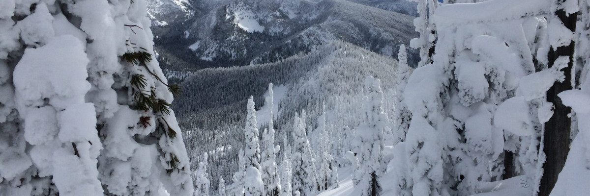
Today, winds are calm in the region.  Mountain temperatures are in the teens.  The advisory area received a small amount of snow in the last 24 hours.

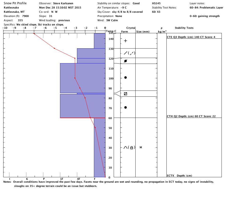
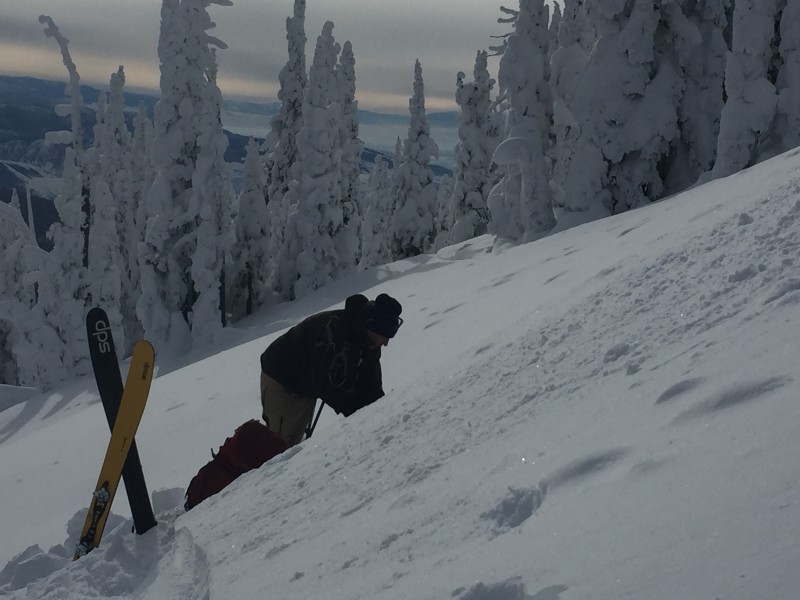
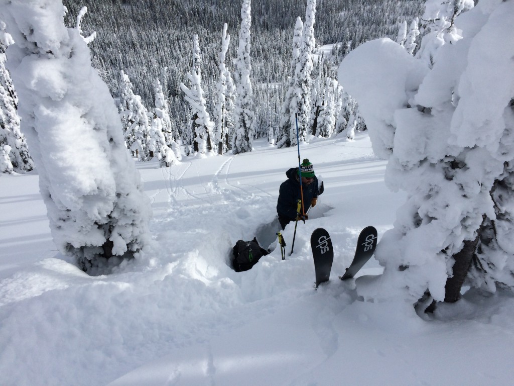
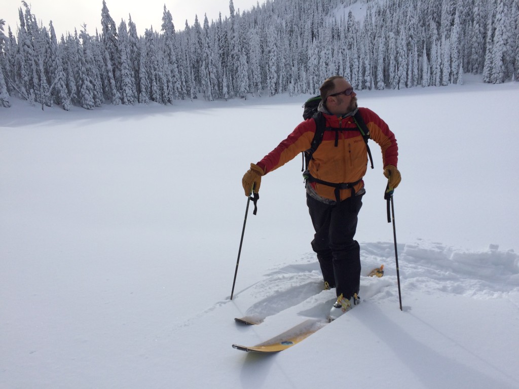
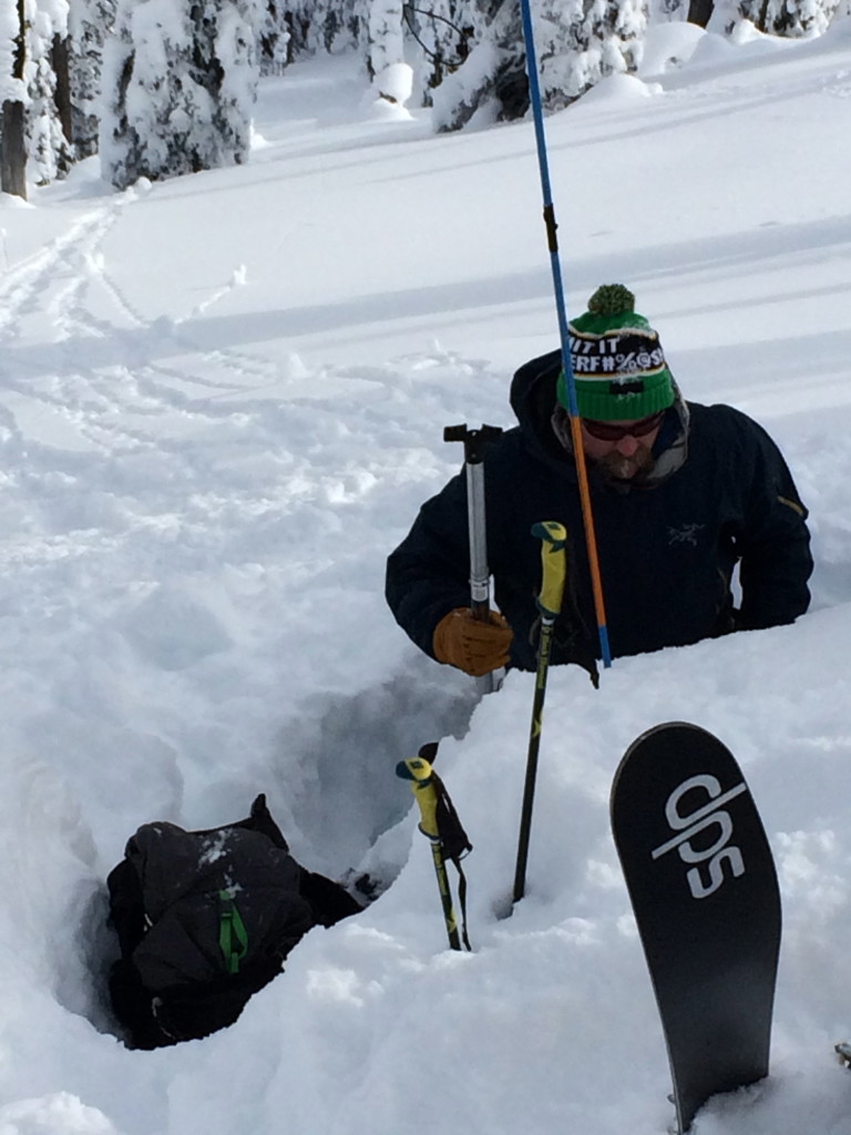
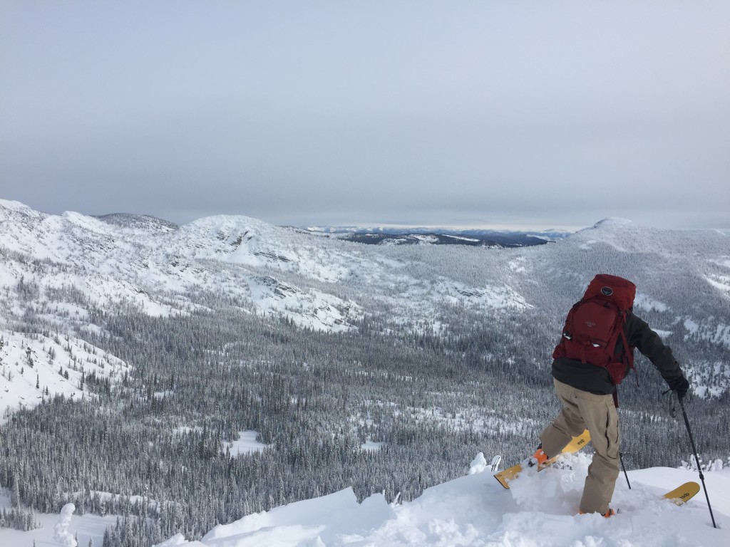
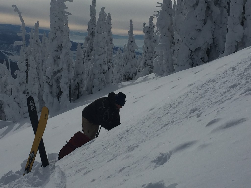
Steve and I toured in the Rattlesnake yesterday and found a healing snowpack.  The primary avalanche concern today is the persistent slab that is failing on the basal facets from Thanksgiving.  This layer is not propagating in our tests and the facets are rounding.  The only way to find this layer is to dig in the snow and see if the layer is reactive.  A skier could possibly trigger this layer in spots on slopes (wind scoured ridgelines, rock out crops, and tree clusters) that have shallower snowpacks.  Terrain management is key today.

The second avalanche problem is loose dry avalanches.  These avalanches are small in size and are not a problem unless they take you into a terrain trap (trees, gullies and cliffs).  Always look at slopes and assess the consequences of the terrain.

Avalanche and Weather Outlook

Scattered showers will continue through today with light accumulations of snow.  By Wednesday,  high pressure should move into the advisory area.  I would expect the avalanche danger to stay the same with this weather forecast.

I will issue the last advisory for 2015 on New Years Eve (Thursday), December 31, 2015.  Ski and ride safe.


READ FULL ADVISORY  

Problem 1 - Persistent Slabs

  • TYPE

    persistent-slabs

    Persistent Slabs

    Release of a cohesive layer of soft to hard snow (a slab) in the middle to upper snowpack, when the bond to an underlying persistent weak layer breaks.  Persistent layers include: surface hoar, depth hoar, near-surface facets, or faceted snow. Persistent weak layers can continue to produce avalanches for days, weeks or even months, making them especially dangerous and tricky. As additional snow and wind events build a thicker slab on top of the persistent weak layer, this avalanche problem may develop into a Persistent, Deep-Slab.

  • SIZE

    3-4

    1-2 (Small-Large)

    The potential size of avalanche resulting from this problem.

  • LIKELIHOOD

    Likelihood-2

    Unlikely/Possible

    The likelihood of an avalanche resulting from this problem.

  • IMAGE

The basal facets are becoming less reactive in our tests.  There are shallow pockets of snow where it could be possible to trigger this weak layer. These likely trigger points are rock outcrops, clusters of trees and scoured ridgelines.

Problem 2 - Loose Dry

  • TYPE

    loose-dry

    Loose Dry

    Release of wet unconsolidated snow or slush. These avalanches typically occur within layers of wet snow near the surface of the snowpack, but they may quickly gouge into lower snowpack layers. Like Loose-Dry Avalanches,they start at a point and entrain snow as they move downhill, forming a fan-shaped avalanche. They generally move slowly, but can contain enough mass to cause significant damage to trees, cars or buildings. Other names for loose-wet avalanches include point-release avalanches or sluffs. Loose-wet avalanches can trigger slab avalanches that break into deeper snow layers.

  • SIZE

    2-3

    1 (Small)

    The potential size of avalanche resulting from this problem.

  • LIKELIHOOD

    Likelihood-4

    Possible/Likely

    The likelihood of an avalanche resulting from this problem.

  • IMAGE

Loose dry avalanches are likely to be triggered on steeper slopes.  These can be a problem if they take you into a terrain trap (gullies, cliffs and trees).

FORECAST & OUTLOOK

High pressure pushes in on Wednesday.

This information is the sole responsibility of the Forest Service and does not apply to operating ski areas. The avalanche danger rating expires at midnight tonight but the information can help you make a more informed decision regarding travel in avalanche terrain for the next few days.

Our advisory area includes National Forest System lands in the Bitterroot Mountains from Lost Trail Pass north to Granite Pass, the Rattlesnake Mountains north of Missoula and the Southern Swan and Mission Mountains near Seeley Lake, MT. Avalanche information for the Lookout Pass/St. Regis Basin area is available from the Idaho Panhandle Avalanche Center.