Posted:
Jan 7, 2016 @ 6:31 am

The current avalanche danger is LOW in the west central Montana backcountry.  Conditions are generally safe, but it is possible to find unstable snow in isolated areas.  There is always a chance of triggering an avalanche if you recreate or travel on slopes 35 degrees and steeper.

Good morning, this is Travis Craft with the West Central Montana Avalanche Center’s avalanche advisory for January 07, 2016.  This danger rating does not apply to operating ski areas, expires at midnight tonight and is the sole responsibility of the U.S. Forest Service.

Weather and Snowpack

Today mountain temperatures are between 25 and 30 F. Winds are 13 mph with gusts of 15 mph out of the NNW. The advisory area has received 1 to 2 new inches of snow in the last 24 hours.

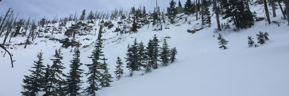
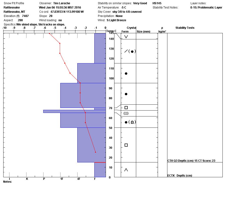
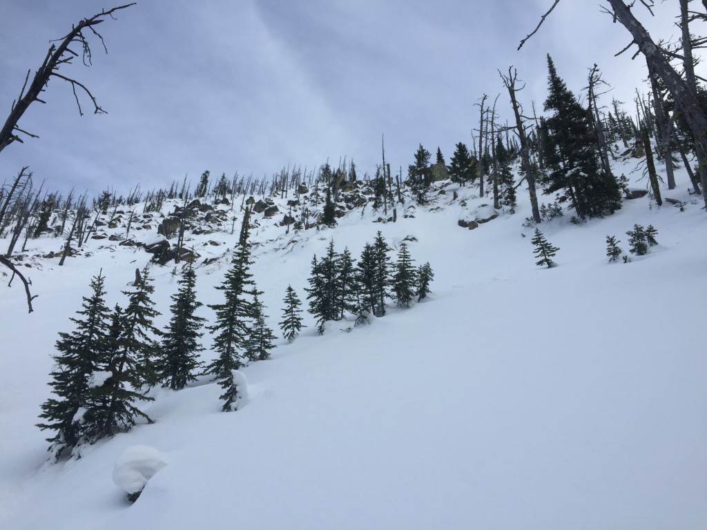
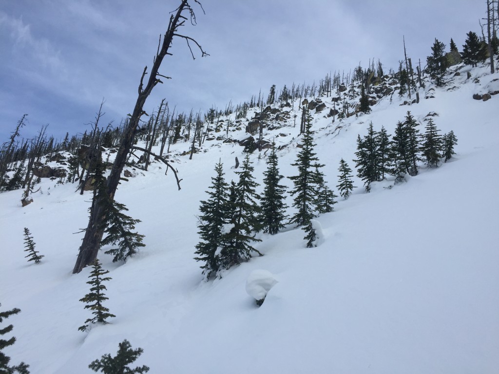
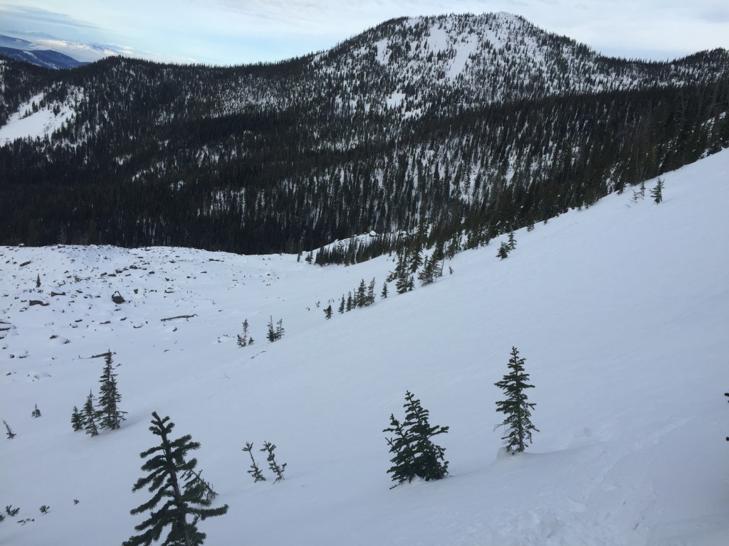
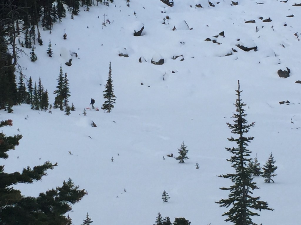
Tim and I toured in the Rattlesnake yesterday and we found a very well bonded snowpack.  The basal facets from Thanksgiving were not reactive in our stability tests.  We dug pits on shaded cold aspects and found the facets, but they did not propagate in any of our tests.  The facets are rounding because of the mild temperatures we have had in the mountains.  I would recommend digging a pit on steep slopes to see if this layer is sensitive to triggers.

The high pressure system changed our snow surfaces.  We observed surface hoar in isolated pockets, melt freeze crusts and wind scoured slopes.  These are found on different aspects and will be the layers of new concern with the new snow of today.  With the small amount of new snow look for very small dry loose snow avalanches.  These should not be a problem unless they take you into a terrain trap(gully, tree, or cliff).

Remember, Low hazard does not mean no avalanches, it means that it is unlikely to trigger one.  There are still instabilities out there in isolated areas.

Weather and Avalanche Outlook

The area is receiving light precipitation right now.  Expect this trend to continue with light accumulations till Saturday.  The avalanche danger will slowly increase with small accumulations of snow.

Logan will issue the next advisory on Saturday. Ski and ride safe.

READ FULL ADVISORY  

Problem 1 - Persistent Slabs

  • TYPE

    persistent-slabs

    Persistent Slabs

    Release of a cohesive layer of soft to hard snow (a slab) in the middle to upper snowpack, when the bond to an underlying persistent weak layer breaks.  Persistent layers include: surface hoar, depth hoar, near-surface facets, or faceted snow. Persistent weak layers can continue to produce avalanches for days, weeks or even months, making them especially dangerous and tricky. As additional snow and wind events build a thicker slab on top of the persistent weak layer, this avalanche problem may develop into a Persistent, Deep-Slab.

  • SIZE

    3-4

    1-2 (Small-Large)

    The potential size of avalanche resulting from this problem.

  • LIKELIHOOD

    Likelihood-1

    Unlikely

    The likelihood of an avalanche resulting from this problem.

The basal facets are not very reactive in our tests.  Dig a pit and see if this layer is reactive when choosing to recreate on a steep slope (>35 degrees).

Problem 2 - Dry Loose Snow

  • TYPE

    loose-dry

    Loose Dry

    Release of wet unconsolidated snow or slush. These avalanches typically occur within layers of wet snow near the surface of the snowpack, but they may quickly gouge into lower snowpack layers. Like Loose-Dry Avalanches,they start at a point and entrain snow as they move downhill, forming a fan-shaped avalanche. They generally move slowly, but can contain enough mass to cause significant damage to trees, cars or buildings. Other names for loose-wet avalanches include point-release avalanches or sluffs. Loose-wet avalanches can trigger slab avalanches that break into deeper snow layers.

  • SIZE

    1-2

    < 1 (Small)

    The potential size of avalanche resulting from this problem.

  • LIKELIHOOD

    Likelihood-2

    Unlikely/Possible

    The likelihood of an avalanche resulting from this problem.

These should be very small and manageable unless they take you into a terrain trap (gully, tree, or cliff).

FORECAST & OUTLOOK

Cold front brings light accumulations of snow through the weekend.

This information is the sole responsibility of the Forest Service and does not apply to operating ski areas. The avalanche danger rating expires at midnight tonight but the information can help you make a more informed decision regarding travel in avalanche terrain for the next few days.

Our advisory area includes National Forest System lands in the Bitterroot Mountains from Lost Trail Pass north to Granite Pass, the Rattlesnake Mountains north of Missoula and the Southern Swan and Mission Mountains near Seeley Lake, MT. Avalanche information for the Lookout Pass/St. Regis Basin area is available from the Idaho Panhandle Avalanche Center.