
The current avalanche danger for the west central Montana backcountry is MODERATE. Human triggered avalanches are possible. The avalanche problems are concentrated in specific areas, carefully evaluate terrain and snow to determine where localized weaknesses may exist.
Good morning, this is Logan King with the West Central Montana Avalanche Center’s avalanche advisory for Saturday February 6th, 2016. This danger rating does not apply to operating ski areas, expires at midnight tonight and is the sole responsibility of the U.S. Forest Service.
Weather and Snowpack
A storm system moved into the region last night and will produce gusty conditions and bring more snow to the area today. So far the advisory area has only seen a trace to 1 inch of new snow. Winds at Deer mountain are 19mph and gusting to 28mph out of the SW and mountain temperatures are presently hovering around freezing.
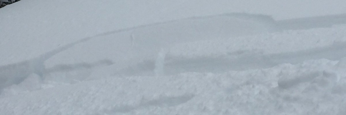
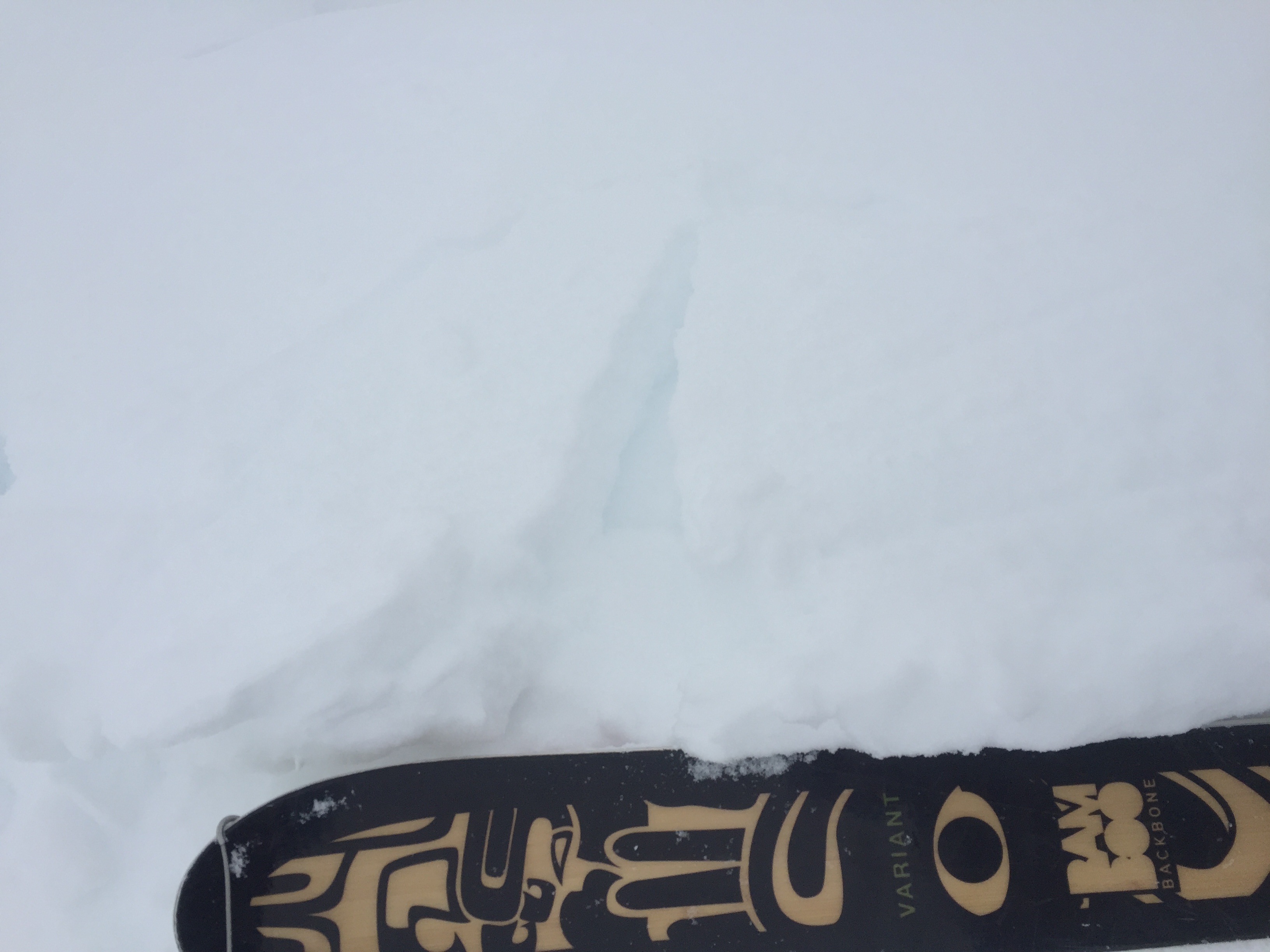
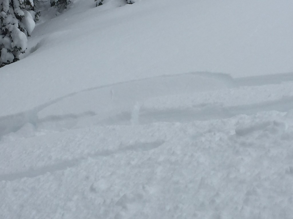
The snow from the last storm cycle has settled and is bonding well, however strong winds over the last few days have been able to transport some of the new snow creating thin windslabs. Dudley and I were in the Rattlesnake yesterday and the snow was beginning to feel a bit “slabby”(pic1). Small localized cracking was also observed in the top 6-10 inches of the snowpack (pic2). New snow and strong winds will further develop these wind slabs and they will continue to be our primary avalanche concern today. Assess all leeward terrain carefully and keep in mind that the wind slabs will become more reactive as they continue to grow and get loaded today.
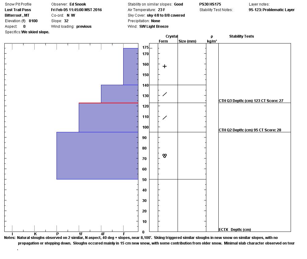
Persistent weak layers can still be found in the advisory area and are a difficult problem to put to bed. The persistent weak layers are not reactive in most areas but basal facets and near surface facets are still out there, carefully asses a slope to determine if a facet layer is present and if it’s reactive. The only way to determine if facets are present is to dig pits and look for them.
Avalanche and Weather Outlook
The system moving across the advisory area will bring widespread snow and wind through tomorrow morning. Following the passage of this system a high pressure ridge looks to set up for a couple of days with the potential for inversions. Currently avalanche conditions are not changing significantly but avalanche conditions will likely increase as as more snow is added to the current slabs. Pay attention to winds and how much snow is falling to evaluate conditions as they change.
As always, if you get out into the backcountry let us know what you see on our Public Observation page. The next avalanche advisory will be issued on Tuesday.


