Posted:
Feb 27, 2016 @ 6:39 am

The current avalanche danger is MODERATE in the west central Montana backcountry. Human triggered avalanches are possible. Heightened avalanche conditions exist in isolated terrain. Evaluate snow and terrain carefully and identify features of concern.

Good morning, this is Travis Craft with the West Central Montana Avalanche Center’s avalanche advisory for February 27, 2016. This danger rating does not apply to operating ski areas, expires at midnight tonight and is the sole responsibility of the U.S. Forest Service.

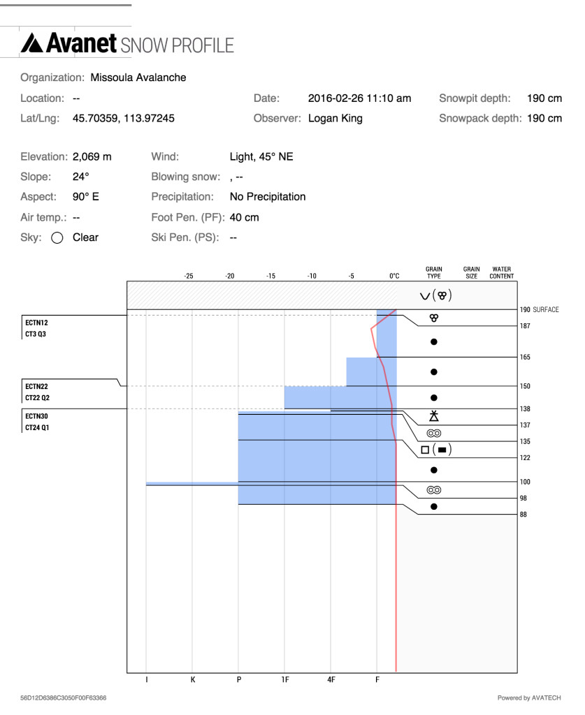
Weather and Snowpack

Mountain temperatures range from 32 F to 40 F in the region.  Most sites did not get below freezing last night. Winds are 5 mph with gusts of 6 mph out of the WNW in the Bitterroot and Point Six in the northern part of the advisory area is 24 mph with gusts of 31 mph. The forecast area received 1 to 2 inches of new snow in the last 24 hours. Snotels are reporting .20 and .40 SWE in the region.

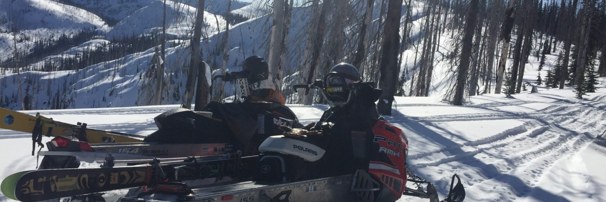
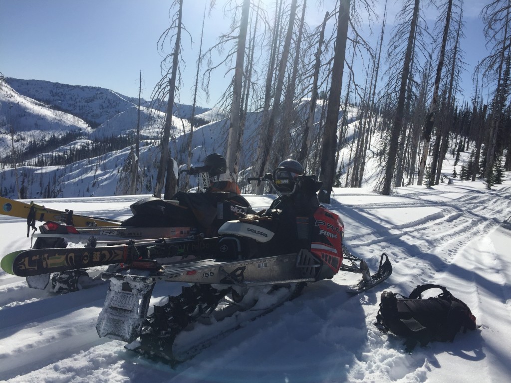
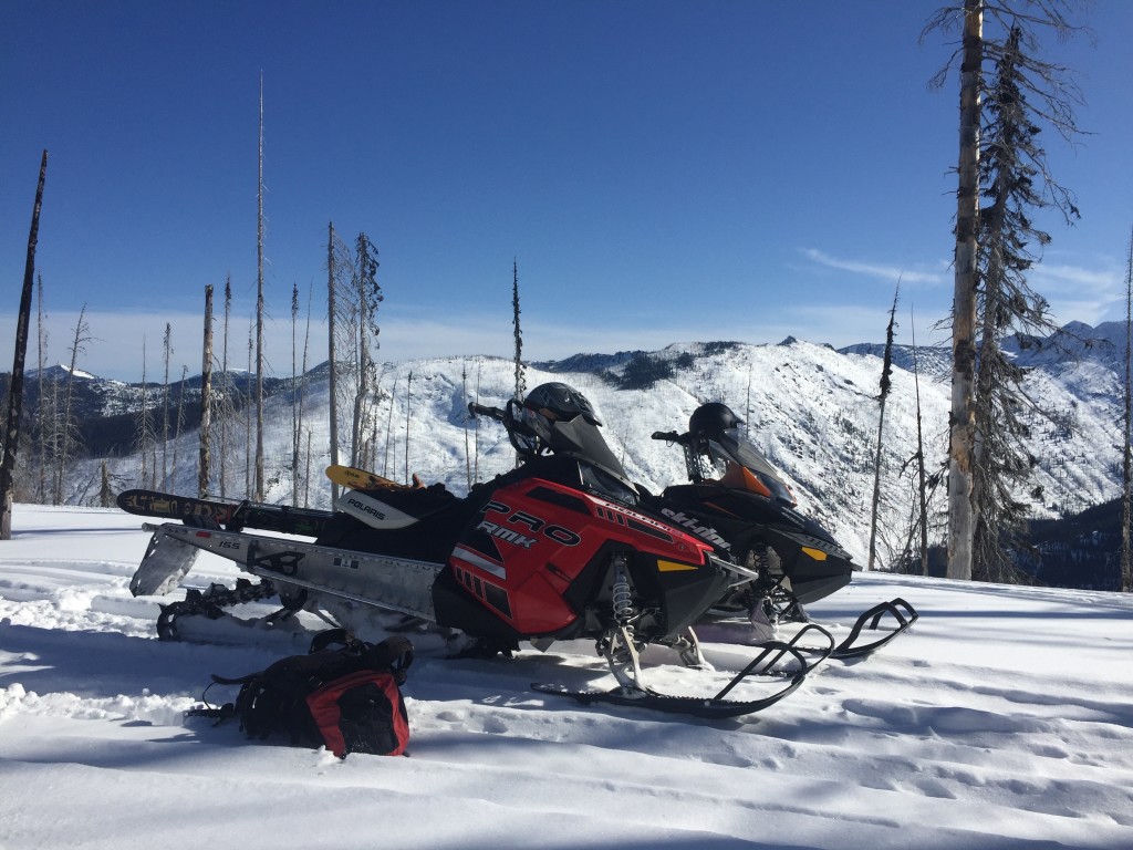
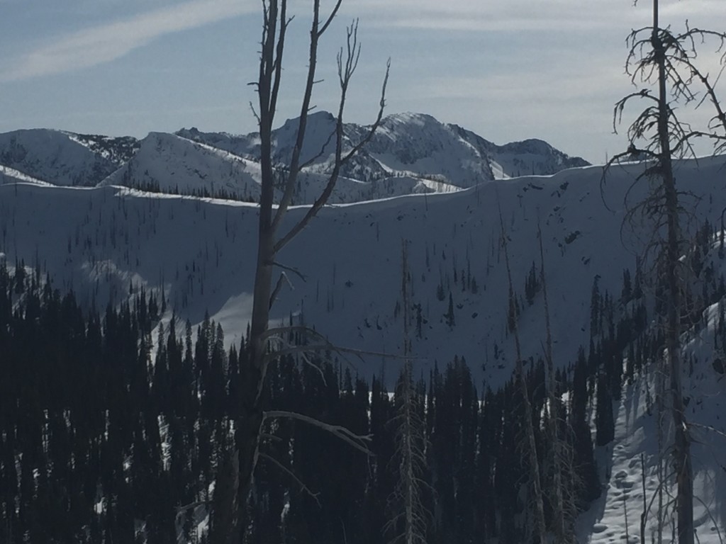
Logan and I toured in the Lolo Pass area yesterday on sleds.  It was spring.  Today a warm system is pushing into the advisory area.  This will bring precipitation and strong winds.  The snow level will start around 6500 feet and then slowly drop to around 4500 feet.  The question will be how the new snow bonds to the the old snow surfaces?  On solar aspects we have a melt freeze crust and on some leeward slopes we have old windslabs. Logan and I found broken down surface hoar on our tour.  In  higher elevations on shadier aspects, the surface hoar may not have been broken down and may be buried by the new snow.

The first avalanche problem will be loose dry or wet avalanches depending on elevation.  These should not be very large but can be a problem if you are knocked of your feet and carried into a terrain trap(tree, cliff, or gully).

The second avalanche problem will be windslabs.  Leeward terrain will be suspect. These windslabs will be deposited on a variety of old snow surfaces(melt freeze crust, old wind slabs, cold snow on north aspects).

The last avalanche problem is cornice failure.  Cornices have been weakening over the last couple of days and with continued  warm temperature and new loading will continue to lose strength .  Give cornices a wide berth, they break farther back then anticipated.

There are still some facets and the graupel sitting above a melt freeze crust to be found in our snowpack. These layers have not propagated in any of our tests recently, but with a new load may become reactive.  Dig a pit and find out what is under your feet on the slope you are choosing to recreate on.

Weather and Avalanche Outlook

This system is expected to last till Sunday.  The snow levels will drop over the weekend to 4500 feet.  In the mountains snow totals will be around 2 to 6 inches. This system is warm and the snow will be wet and heavy. This system has high winds with it.  The avalanche hazard will increase with the addition of new snow and high winds.

Thank you to everyone who has sent public observations in.  If you see something out there, please send us a public observation.

Ski and ride safe. Logan will issue the next advisory on Tuesday.

READ FULL ADVISORY  

Problem 1 - Loose Dry

  • TYPE

    loose-dry

    Loose Dry

    Release of wet unconsolidated snow or slush. These avalanches typically occur within layers of wet snow near the surface of the snowpack, but they may quickly gouge into lower snowpack layers. Like Loose-Dry Avalanches,they start at a point and entrain snow as they move downhill, forming a fan-shaped avalanche. They generally move slowly, but can contain enough mass to cause significant damage to trees, cars or buildings. Other names for loose-wet avalanches include point-release avalanches or sluffs. Loose-wet avalanches can trigger slab avalanches that break into deeper snow layers.

  • SIZE

    1-2

    < 1 (Small)

    The potential size of avalanche resulting from this problem.

  • LIKELIHOOD

    Likelihood-3

    Possible

    The likelihood of an avalanche resulting from this problem.

Loose dry avalanches with the new precipitation.

Problem 2 - Wind Slabs

  • TYPE

    wind-slabs

    Wind Slabs

    Release of a cohesive layer of snow (a slab) formed by the wind.  Wind typically erodes snow from the upwind sides of terrain features and deposits snow on the downwind side.  Wind slabs are often smooth and rounded and sometimes sound hollow, and can range from soft to hard. Wind slabs that form over a persistent weak layer (surface hoar, depth hoar, or near-surface facets) may be termed Persistent Slabs or may develop into Persistent Slabs.

  • SIZE

    2-3

    1 (Small)

    The potential size of avalanche resulting from this problem.

  • LIKELIHOOD

    Likelihood-2

    Unlikely/Possible

    The likelihood of an avalanche resulting from this problem.

New Precipitation with strong winds will load leeward slopes.

Problem 3 - Cornices

  • TYPE

    cornices

    Cornices / Cornice Fall

    Release of an overhanging mass of snow that forms as the wind moves snow over a sharp terrain feature, such as a ridge, and deposits snow on the down-wind side. They range from small wind lips of soft snow to large overhangs of hard snow that are 30 feet (~10 meters) or taller. They can break off the terrain suddenly and pull back onto the ridge top and catch people by surprise even on the flat ground above the slope. Even small cornices can have enough mass to be destructive and deadly. Cornice fall can entrain loose surface snow or trigger slab avalanches.

  • SIZE

    4-5

    2 (Large)

    The potential size of avalanche resulting from this problem.

  • LIKELIHOOD

    Likelihood-1

    Unlikely

    The likelihood of an avalanche resulting from this problem.

Cornices have increased in size and have weakened with the recent solar radiation.  With new loading from winds and precipitation give them a wide berth.

02/27/2016 Gallery

FORECAST & OUTLOOK

A cold front is moving into our area today and bringing with it precipitation and wind.

This information is the sole responsibility of the Forest Service and does not apply to operating ski areas. The avalanche danger rating expires at midnight tonight but the information can help you make a more informed decision regarding travel in avalanche terrain for the next few days.

Our advisory area includes National Forest System lands in the Bitterroot Mountains from Lost Trail Pass north to Granite Pass, the Rattlesnake Mountains north of Missoula and the Southern Swan and Mission Mountains near Seeley Lake, MT. Avalanche information for the Lookout Pass/St. Regis Basin area is available from the Idaho Panhandle Avalanche Center.