Posted:
Mar 10, 2016 @ 6:50 am

The current avalanche danger is Moderate in the west central Montana backcountry.  Human triggered avalanches are possible. Heightened avalanche conditions exist in isolated terrain. Evaluate snow and terrain carefully and identify features of concern.

Good morning, this is Travis Craft with the West Central Montana Avalanche Center’s avalanche advisory for March 10,  2016. This danger rating does not apply to operating ski areas, expires at midnight tonight and is the sole responsibility of the U.S. Forest Service.

Weather and Snowpack

Mountain temperatures range from 28 F to 37 F in the region. Winds are 14 mph with gusts of 20 mph out of the SSE in the Bitterroot and Point Six in the northern part of the advisory area is 8 mph with gusts of 21 mph out of the SSE. The forecast area received 1 to 3 inches of new snow in the last 24 hours.  The SWE totals are .2 to .8.

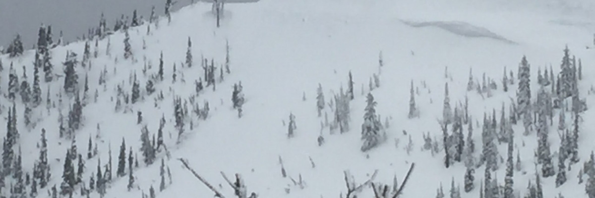
Tim and I toured in the Rattlesnake yesterday.  The main avalanche problem is dry loose avalanches on steep(>35 degrees) slopes above 7000 ft. In the lower elevations these will be loose wet releases.  These are not a problem unless they knock you off your feet and take you into a terrain trap (tree, gully or cliff).

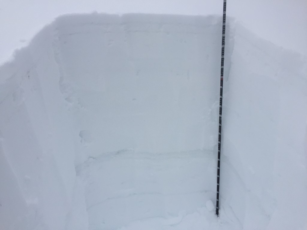
The second avalanche problem is a persistent slab.  The weak layer is a layer of facets that sits above a melt freeze crust.  This layer is 30 cm to 60 cm deep in the snowpack.  The facets propagate in very isolated pockets on southernly exposed slopes.  The only way to find this layer is to dig a pit and see if it is reactive in your tests. There are other crusts in the upper snowpack with facets above them that could become more reactive with the additional loading of new snow. It is always prudent to dig a pit before committing to a slope.

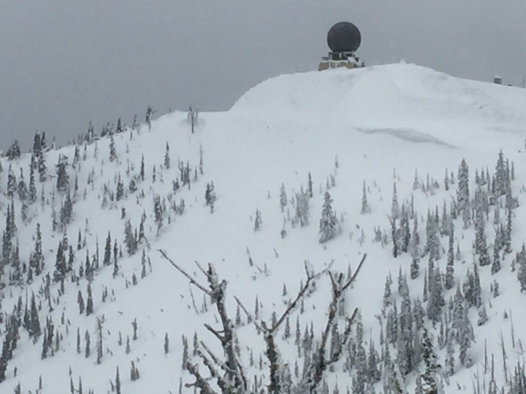
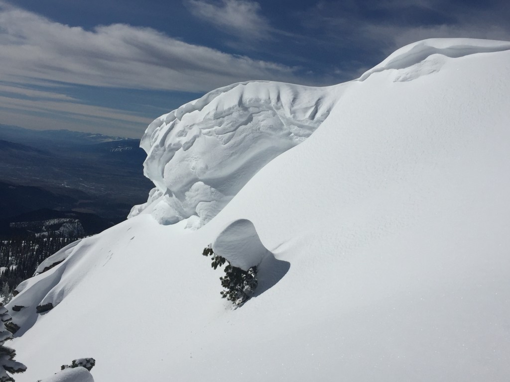
The last problem is small wind slabs are forming with the increasing winds.  These slabs will be located on leeward slopes in the higher elevations(>7000 ft).


Weather and Avalanche Outlook

The system that is currently in the area is expected to continue today with a cold front entering the area tonight.  This system is expected to have snow levels increase from 5000 ft to 6000 ft through the day.  The cold front will bring snow levels back down to 3500 ft.  Winds are predicted to increase today to 50 mph on ridge tops.  With these conditions the avalanche hazard will increase.  The main problems will be windslabs and new loading on old snow surfaces.  With the addition of new heavy wet snow the facets in the snowpack could become more reactive.

Ski and ride safe.  Logan will issue the next advisory on Saturday.


READ FULL ADVISORY  

Problem 1 - Loose Dry

  • TYPE

    loose-dry

    Loose Dry

    Release of wet unconsolidated snow or slush. These avalanches typically occur within layers of wet snow near the surface of the snowpack, but they may quickly gouge into lower snowpack layers. Like Loose-Dry Avalanches,they start at a point and entrain snow as they move downhill, forming a fan-shaped avalanche. They generally move slowly, but can contain enough mass to cause significant damage to trees, cars or buildings. Other names for loose-wet avalanches include point-release avalanches or sluffs. Loose-wet avalanches can trigger slab avalanches that break into deeper snow layers.

  • SIZE

    1-2

    < 1 (Small)

    The potential size of avalanche resulting from this problem.

  • LIKELIHOOD

    Likelihood-3

    Possible

    The likelihood of an avalanche resulting from this problem.

On slopes > 35 it is possible to trigger small loose dry avalanches at higher elevations (>7000 ft).  At lower elevations these will be loose wet avalanches.

Problem 2 - Persistent Slab

  • TYPE

    persistent-slabs

    Persistent Slabs

    Release of a cohesive layer of soft to hard snow (a slab) in the middle to upper snowpack, when the bond to an underlying persistent weak layer breaks.  Persistent layers include: surface hoar, depth hoar, near-surface facets, or faceted snow. Persistent weak layers can continue to produce avalanches for days, weeks or even months, making them especially dangerous and tricky. As additional snow and wind events build a thicker slab on top of the persistent weak layer, this avalanche problem may develop into a Persistent, Deep-Slab.

  • SIZE

    3-4

    1-2 (Small-Large)

    The potential size of avalanche resulting from this problem.

  • LIKELIHOOD

    Likelihood-1

    Unlikely

    The likelihood of an avalanche resulting from this problem.

  • ADDED DANGER

    Increased Slope Danger

    Increased/Added Danger

    There is an increased risk of avalanches on these slopes:

    SE - Southeast
    S - South
    SW - Southwest

There is a melt freeze crust with facets above it, 30 cm to 60 cm deep in the snowpack that is propagating in isolated pockets on southerly slopes.  To find  this layer dig a pit and see if it is reactive in your tests.

Problem 3 - Wind Slabs

  • TYPE

    wind-slabs

    Wind Slabs

    Release of a cohesive layer of snow (a slab) formed by the wind.  Wind typically erodes snow from the upwind sides of terrain features and deposits snow on the downwind side.  Wind slabs are often smooth and rounded and sometimes sound hollow, and can range from soft to hard. Wind slabs that form over a persistent weak layer (surface hoar, depth hoar, or near-surface facets) may be termed Persistent Slabs or may develop into Persistent Slabs.

  • SIZE

    2-3

    1 (Small)

    The potential size of avalanche resulting from this problem.

  • LIKELIHOOD

    Likelihood-3

    Possible

    The likelihood of an avalanche resulting from this problem.

With the addition of new snow that is available for transport look for wind slabs on leeward slopes at higher elevations (>7000 ft).

03/10/2016 advisory

FORECAST & OUTLOOK

Heavy wet snow with snow levels rising to 6000ft until late this afternoon when a cold front enters the area dropping snow levels to 3500 ft.  Winds will increase today with ridge top winds expected to be 50 mph.

This information is the sole responsibility of the Forest Service and does not apply to operating ski areas. The avalanche danger rating expires at midnight tonight but the information can help you make a more informed decision regarding travel in avalanche terrain for the next few days.

Our advisory area includes National Forest System lands in the Bitterroot Mountains from Lost Trail Pass north to Granite Pass, the Rattlesnake Mountains north of Missoula and the Southern Swan and Mission Mountains near Seeley Lake, MT. Avalanche information for the Lookout Pass/St. Regis Basin area is available from the Idaho Panhandle Avalanche Center.