Posted:
Mar 15, 2016 @ 6:41 am

The current avalanche danger is MODERATE for the west central Montana backcountry. With a new load of snow yesterday and today, human triggered avalanches are possible in specific areas. Carefully evaluate how the new load is affecting a slope when choosing areas to recreate. 

Good morning, this is Logan King with the West Central Montana Avalanche Center’s avalanche advisory for Tuesday, March 15th, 2016. This danger rating does not apply to operating ski areas, expires at midnight tonight and is the sole responsibility of the U.S. Forest Service.

Weather and Snowpack

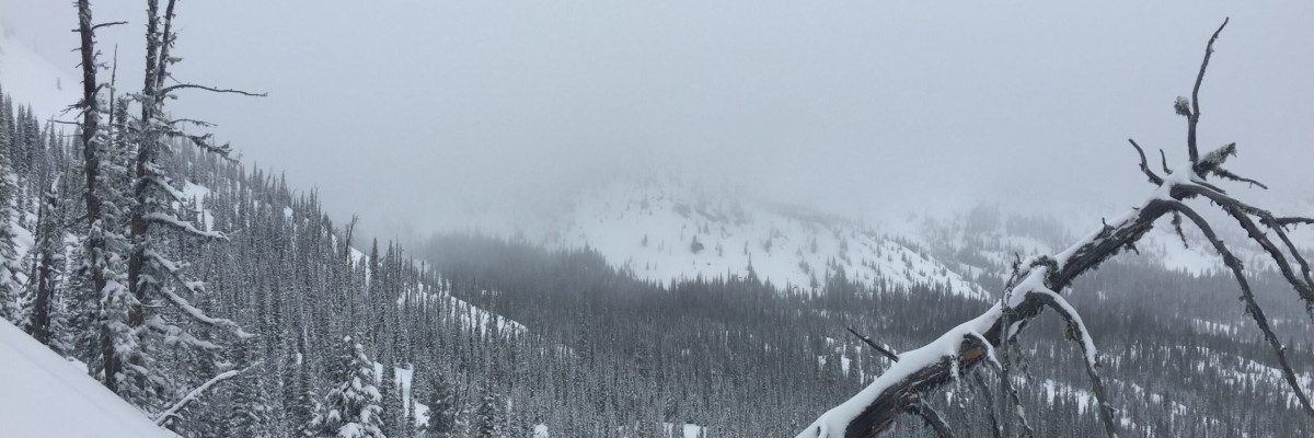
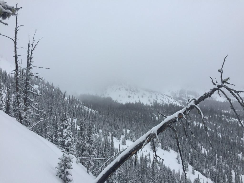
Winter has made a welcome return to west central Montana. The northern half of the advisory area received the lions share of snow since sunday night. Snow totals in the northern reaches are around 6-12 inches bring around an inch of SWE since Sunday night. In the southern half of the region snow totals were 2-5 inches. Strong winds were also seen yesterday afternoon peaking with gusts in the 40’s out of the West. Winds are currently 16mph gusting to 33mph from the W at Point 6 and are more moderate further south at Deer Mountain where current wind speeds are 7mph gusting to 13mph from the SSW.

The primary avalanche concern today will be windslabs above 7,000 ft. With strong winds yesterday and new snow for transport lee terrain will have windslab formation and will be the most likely place to trigger slab avalanches today. Avoid traveling on or under terrain that has been recently wind loaded.

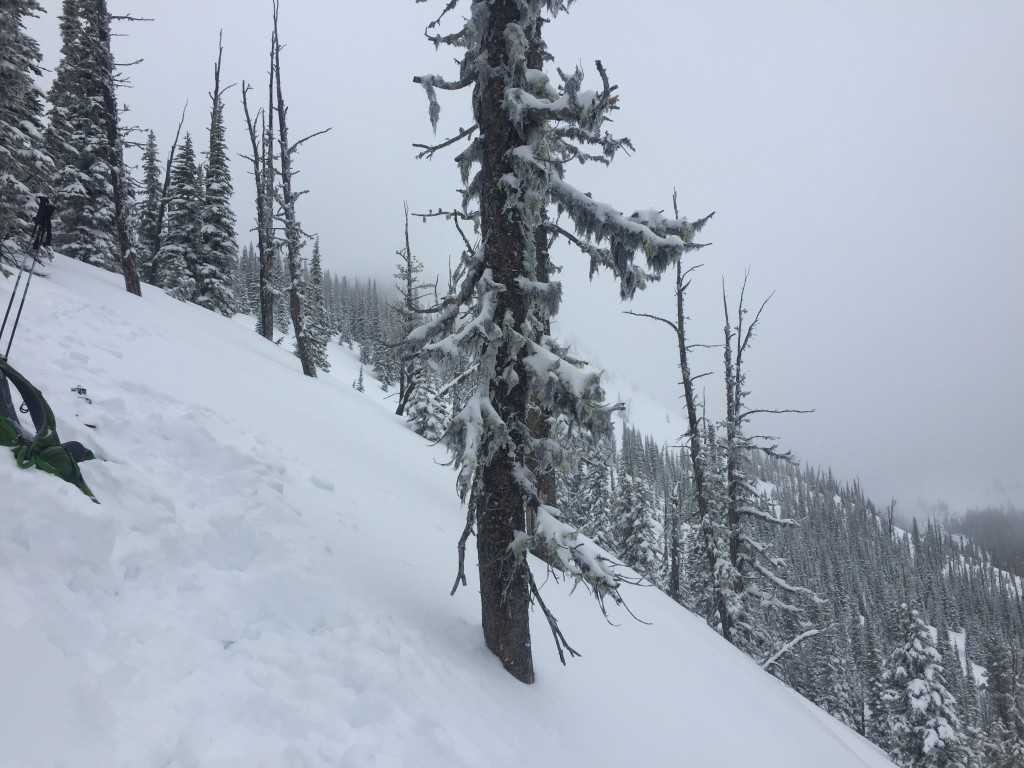
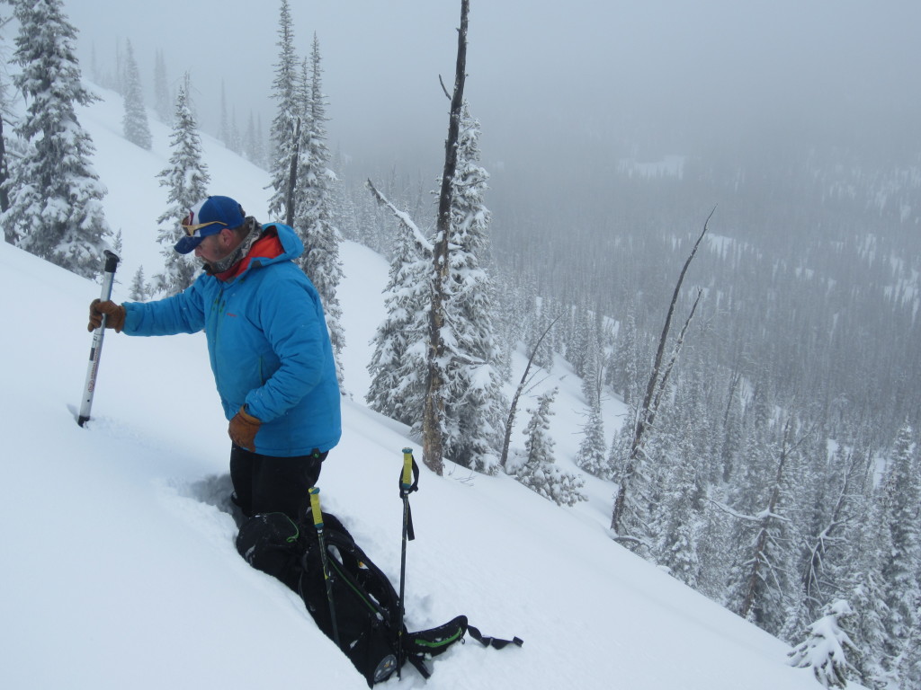
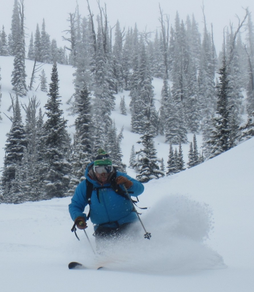
The new snow was a welcome change and Travis and Dudley were in the Rattlesnake yesterday. They found 6+ inches that was falling on yet another crust. The new snow on the crust will result in loose snow avalanches on terrain steeper than 35 degrees. There are 3 distinct crust in the upper portion of the snowpack. The rime crust and the presidents day melt-freeze crust are of most concern, they continue to give clean shears in compression tests but don’t propagate (video). Dig pits and look for areas where the crust is reactive and has facets near by. Any of the crusts may start to propagate with the new load so take the time to look for them and determine if they are reactive.

Weather and Avalanche Outlook

Old man winter is going to linger for a few days bringing waves of snow showers to the area that may have intense snowfall during some periods. The cold wet pattern will continue through mid-week, with today being the best chance for significant snow accumulations. An additional 2-6 inches are expected today while the next few snow events will have more modest snow accumulation. Conservative decision making would be wise as the inches start to stack up, avalanche danger will increase as the snowfall does. Stay aware of conditions as they change throughout the day. 

Ski and ride safe, Travis will issue the next advisory on Thursday.

READ FULL ADVISORY  

Problem 1 - Windslabs

  • TYPE

    wind-slabs

    Wind Slabs

    Release of a cohesive layer of snow (a slab) formed by the wind.  Wind typically erodes snow from the upwind sides of terrain features and deposits snow on the downwind side.  Wind slabs are often smooth and rounded and sometimes sound hollow, and can range from soft to hard. Wind slabs that form over a persistent weak layer (surface hoar, depth hoar, or near-surface facets) may be termed Persistent Slabs or may develop into Persistent Slabs.

  • SIZE

    3-4

    1-2 (Small-Large)

    The potential size of avalanche resulting from this problem.

  • LIKELIHOOD

    Likelihood-3

    Possible

    The likelihood of an avalanche resulting from this problem.

Strong winds and new snow will lead to windslabs becoming sensitive to triggers.

Problem 2 - Loose Dry Snow

  • TYPE

    loose-dry

    Loose Dry

    Release of wet unconsolidated snow or slush. These avalanches typically occur within layers of wet snow near the surface of the snowpack, but they may quickly gouge into lower snowpack layers. Like Loose-Dry Avalanches,they start at a point and entrain snow as they move downhill, forming a fan-shaped avalanche. They generally move slowly, but can contain enough mass to cause significant damage to trees, cars or buildings. Other names for loose-wet avalanches include point-release avalanches or sluffs. Loose-wet avalanches can trigger slab avalanches that break into deeper snow layers.

  • SIZE

    2-3

    1 (Small)

    The potential size of avalanche resulting from this problem.

  • LIKELIHOOD

    Likelihood-4

    Possible/Likely

    The likelihood of an avalanche resulting from this problem.

New snow is sitting on a crust and loose snow slides will be possible on terrain steeper than 35 degrees.

Problem 3 - Persistent

  • TYPE

    persistent-slabs

    Persistent Slabs

    Release of a cohesive layer of soft to hard snow (a slab) in the middle to upper snowpack, when the bond to an underlying persistent weak layer breaks.  Persistent layers include: surface hoar, depth hoar, near-surface facets, or faceted snow. Persistent weak layers can continue to produce avalanches for days, weeks or even months, making them especially dangerous and tricky. As additional snow and wind events build a thicker slab on top of the persistent weak layer, this avalanche problem may develop into a Persistent, Deep-Slab.

  • SIZE

    3-4

    1-2 (Small-Large)

    The potential size of avalanche resulting from this problem.

  • LIKELIHOOD

    Likelihood-2

    Unlikely/Possible

    The likelihood of an avalanche resulting from this problem.

The upper crusts in the snowpack continue to have clean sheers in compression tests but haven’t been propagating. The new snow may overload these layers and may result in propagation especially in areas where facets may be found around the crusts.

FORECAST & OUTLOOK

Snow showers will bring an additional couple of inches to the region today, and will continue with modest accumulation for the next couple of days.

This information is the sole responsibility of the Forest Service and does not apply to operating ski areas. The avalanche danger rating expires at midnight tonight but the information can help you make a more informed decision regarding travel in avalanche terrain for the next few days.

Our advisory area includes National Forest System lands in the Bitterroot Mountains from Lost Trail Pass north to Granite Pass, the Rattlesnake Mountains north of Missoula and the Southern Swan and Mission Mountains near Seeley Lake, MT. Avalanche information for the Lookout Pass/St. Regis Basin area is available from the Idaho Panhandle Avalanche Center.