Posted:
Dec 2, 2016 @ 8:31 am

Good morning, this is Travis Craft with an early season snowpack update.

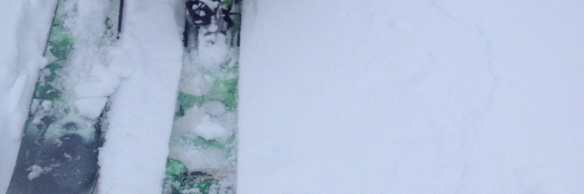
In the last 48 hours the advisory area has received significant snowfall.  In the northern part of the advisory area the North Fork Jocko snotel received 20 new inches. The southern part of the area received less snow and the Twin Lakes snotel is reporting 10 new inches.  The storm system had moderate wind with strong gusts.

The first avalanche problem are wind slabs.  These will be located on leeward slopes and will have a hollow or drum like sound to them.  There is a lot of snow available for transport, so some of these slabs could be very large.

The second avalanche problem is storm slabs.  There is significant loading on the old snow surface or at lower elevations on the ground.  Give the new snow some time to adjust to the new load.  Signs of instability are shooting cracks, collapse noises in the snow pack and recent avalanche activity.

Today we will have a break in the weather until this afternoon when a new front is expected to move in and bring precipitation and wind.  On Sunday a large system is predicted to bring large amounts of precipitation through the advisory area.

Remember it is still early season out there.  Put new batteries in your beacons and practice with your riding partners.  Please visit our education page to sign up for one of our classes or to attend one of our events.  Also, if you are out and about please send us a public observation.

Ride safe and we will update our advisory as needed.  Beginning December 15 we will start issuing our regular advisories three times week.


READ FULL ADVISORY  

Problem 1 - Wind Slabs

  • TYPE

    wind-slabs

    Wind Slabs

    Release of a cohesive layer of snow (a slab) formed by the wind.  Wind typically erodes snow from the upwind sides of terrain features and deposits snow on the downwind side.  Wind slabs are often smooth and rounded and sometimes sound hollow, and can range from soft to hard. Wind slabs that form over a persistent weak layer (surface hoar, depth hoar, or near-surface facets) may be termed Persistent Slabs or may develop into Persistent Slabs.

  • SIZE

    3-4

    1-2 (Small-Large)

    The potential size of avalanche resulting from this problem.

  • LIKELIHOOD

    Likelihood-3

    Possible

    The likelihood of an avalanche resulting from this problem.

Leeward slopes will have small to large wind slabs.

Problem 2 - Storm Slabs

  • TYPE

    storm-slabs

    Storm Slabs

    Release of a soft cohesive layer (a slab) of new snow which breaks within the storm snow or on the old snow surface. Storm-slab problems typically last between a few hours and few days. Storm-slabs that form over a persistent weak layer (surface hoar, depth hoar, or near-surface facets) may be termed Persistent Slabs or may develop into Persistent Slabs.

  • SIZE

    3-4

    1-2 (Small-Large)

    The potential size of avalanche resulting from this problem.

  • LIKELIHOOD

    Likelihood-3

    Possible

    The likelihood of an avalanche resulting from this problem.

The area received significant snow amounts.

FORECAST & OUTLOOK

A new system will move in later today and on Sunday will drop significant snow amounts.

This information is the sole responsibility of the Forest Service and does not apply to operating ski areas. The avalanche danger rating expires at midnight tonight but the information can help you make a more informed decision regarding travel in avalanche terrain for the next few days.

Our advisory area includes National Forest System lands in the Bitterroot Mountains from Lost Trail Pass north to Granite Pass, the Rattlesnake Mountains north of Missoula and the Southern Swan and Mission Mountains near Seeley Lake, MT. Avalanche information for the Lookout Pass/St. Regis Basin area is available from the Idaho Panhandle Avalanche Center.