Posted:
Feb 28, 2017 @ 6:09 am

The current avalanche danger is MODERATE in the west central Montana backcountry. Evaluate snow and terrain carefully; identify features of concern. Human triggered avalanches are possible.

Good morning, this is Travis Craft with the West Central Montana Avalanche Center’s avalanche advisory for February 28, 2017. This danger rating does not apply to operating ski areas, expires at midnight tonight and is the sole responsibility of the U.S. Forest Service.

Weather and Snowpack

Mountain temperatures range from 8 F to 19 F in the region. Winds are 12 mph with gusts of 22 mph out of the S in the Bitterroot. Point Six, in the northern part of the advisory area, winds are 3 mph with gusts of 13 out of the S.  Snotels are not reporting this morning.

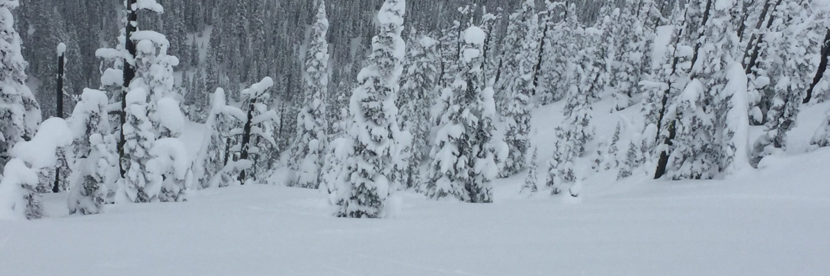
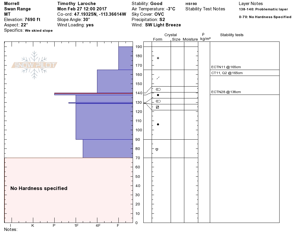
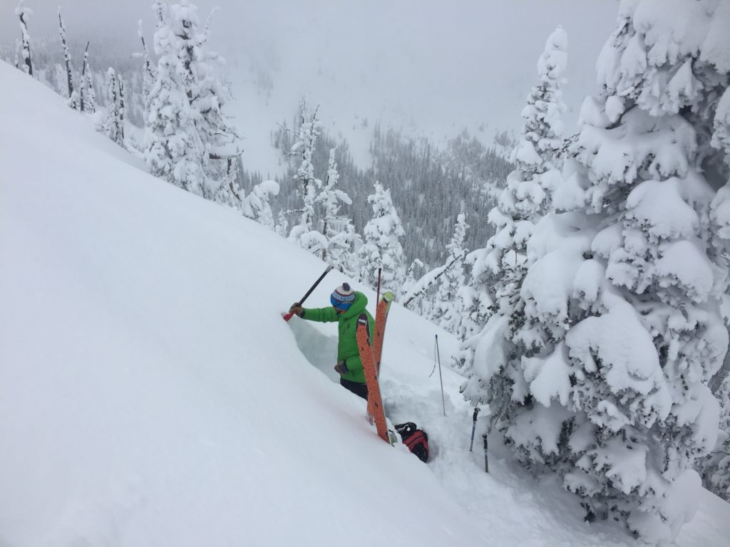
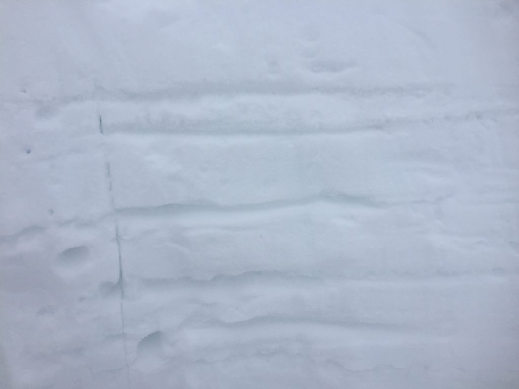
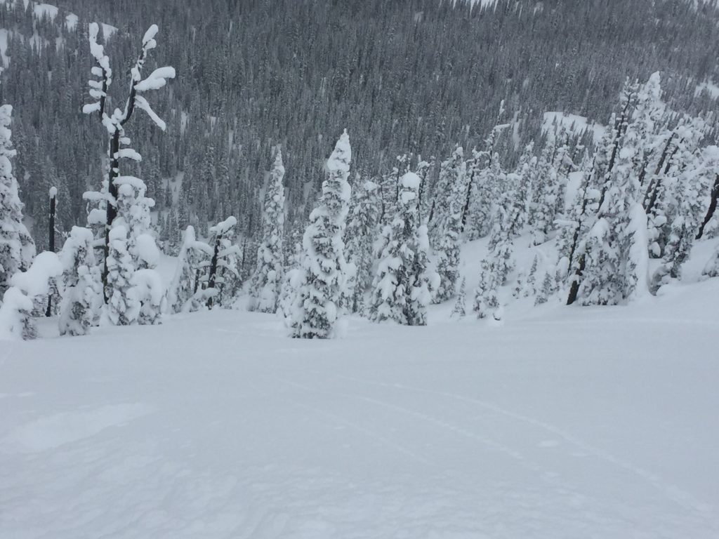
Logan and I toured in the Rattlesnake yesterday.  Tim and Greg took the sleds to Morrell Mountain in the southern Swans.  Matt and Josh were at Lost Trail Pass over the weekend teaching a level 1 avalanche course.  Logan and I observed a very settled snowpack.  Tim and Greg saw loose dry releases.  The primary concern at Lost Trail Pass was a sensitive shallow wind slab that propagated.  The advisory area has received a significant amount of new low-density snow.  The storm came in warm and progressively cooled producing a right side up snowpack.  Logan and I observed buckling in the snowpack which is a sign of the new snow bonding to the old snow. In the Swans and Rattlesnake, we were not able to get any of our persistent weak layers to propagate in our pit tests.

The primary avalanche problem is loose dry avalanches.  There is a significant amount of new snow. These sluffs could knock a skier or rider off their feet or machine and carry them into a terrain trap.

The second avalanche concern is wind slabs.  There is plenty of new snow available for transport.  The wind slabs we observed were in very isolated places.  Wind slabs were very sensitive to triggers in the southern portion of the advisory area on Sunday.  Identify wind loaded terrain and avoid it.

There are some weak layers in our snowpack.  We have not been able to get propagation on these layers in our pit tests.  Dig a pit before committing to any steep terrain.  There was a skier triggered avalanche in the Rattlesnake on Friday.  The skier triggered a small wind pocket near a rock outcrop and was knocked down and strained through some trees.  The skier sustained bruises and some muscle damage and was not buried.  The slide was 20 feet across,  1 foot deep, and ran 60 yards.  The take-home message is that if you are in terrain above 30 degrees, it can slide.

Avalanche and Weather Outlook

Snow showers dwindling today and then more showers tonight.  Continued precipitation through Wednesday.  Increasing winds for the next couple of days.  Look for the avalanche danger to increase with additional loading and wind.

If you are out in the backcountry, please send us your observations, these are very helpful in producing the advisory. I will issue the next advisory on March 02, 2017.

Ski and ride safe.


READ FULL ADVISORY  

Problem 1 - Loose Dry

  • TYPE

    loose-dry

    Loose Dry

    Release of wet unconsolidated snow or slush. These avalanches typically occur within layers of wet snow near the surface of the snowpack, but they may quickly gouge into lower snowpack layers. Like Loose-Dry Avalanches,they start at a point and entrain snow as they move downhill, forming a fan-shaped avalanche. They generally move slowly, but can contain enough mass to cause significant damage to trees, cars or buildings. Other names for loose-wet avalanches include point-release avalanches or sluffs. Loose-wet avalanches can trigger slab avalanches that break into deeper snow layers.

  • SIZE

    3-4

    1-2 (Small-Large)

    The potential size of avalanche resulting from this problem.

  • LIKELIHOOD

    Likelihood-4

    Possible/Likely

    The likelihood of an avalanche resulting from this problem.

  • ADDED DANGER

    Increased Slope Danger

    Increased/Added Danger

    There is an increased risk of avalanches on these slopes:

    N - North
    NE - Northeast
    E - East
    SE - Southeast
    S - South
    SW - Southwest
    W - West
    NW - Northwest

There is significant new snow.  These sluffs could very easily knock a skier or rider off their feet or machine and carry them into a terrain trap.

Problem 2 - Wind Slabs

  • TYPE

    wind-slabs

    Wind Slabs

    Release of a cohesive layer of snow (a slab) formed by the wind.  Wind typically erodes snow from the upwind sides of terrain features and deposits snow on the downwind side.  Wind slabs are often smooth and rounded and sometimes sound hollow, and can range from soft to hard. Wind slabs that form over a persistent weak layer (surface hoar, depth hoar, or near-surface facets) may be termed Persistent Slabs or may develop into Persistent Slabs.

  • SIZE

    2-3

    1 (Small)

    The potential size of avalanche resulting from this problem.

  • LIKELIHOOD

    Likelihood-3

    Possible

    The likelihood of an avalanche resulting from this problem.

There are isolated areas in the advisory region that are wind loaded.  Identify these and avoid them.  Shallow sensitive wind slabs were found in the southern Bitterroot on Sunday.

VIDEO

Observations 01/27/2017

Observations 02/27/2017

FORECAST & OUTLOOK

Snow showers dwindling today and then more showers tonight. Continued precipitation through Wednesday. Increasing winds for the next couple of days. Look for the avalanche danger to increase with additional loading and wind.

This information is the sole responsibility of the Forest Service and does not apply to operating ski areas. The avalanche danger rating expires at midnight tonight but the information can help you make a more informed decision regarding travel in avalanche terrain for the next few days.

Our advisory area includes National Forest System lands in the Bitterroot Mountains from Lost Trail Pass north to Granite Pass, the Rattlesnake Mountains north of Missoula and the Southern Swan and Mission Mountains near Seeley Lake, MT. Avalanche information for the Lookout Pass/St. Regis Basin area is available from the Idaho Panhandle Avalanche Center.