Posted:
Mar 7, 2017 @ 6:20 am

The current avalanche danger is CONSIDERABLE in the west central Montana backcountry. Careful snowpack evaluation, cautious route-finding, and conservative decision-making are essential today. Human triggered avalanches are likely.

Good morning, this is Travis Craft with the West Central Montana Avalanche Center’s avalanche advisory for March 07, 2017. This danger rating does not apply to operating ski areas, expires at midnight tonight and is the sole responsibility of the U.S. Forest Service.

Weather and Snowpack

Mountain temperatures range from 7 F to 21 F in the region. Winds are 9 mph with gusts of 17 mph out of the SSW in the Bitterroot. Point Six, in the northern part of the advisory area, winds are 20 mph with gusts of 33 mph out of the WNW.  The area received  3 to 7 new inches of snow.  The new snow had SWE’s ranging from .3 to .5 inches of water.

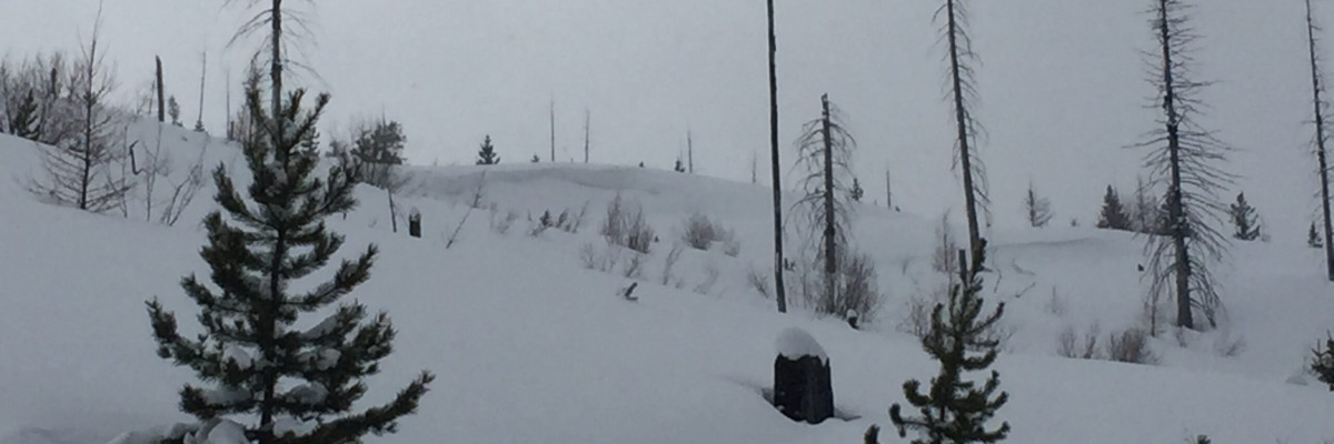
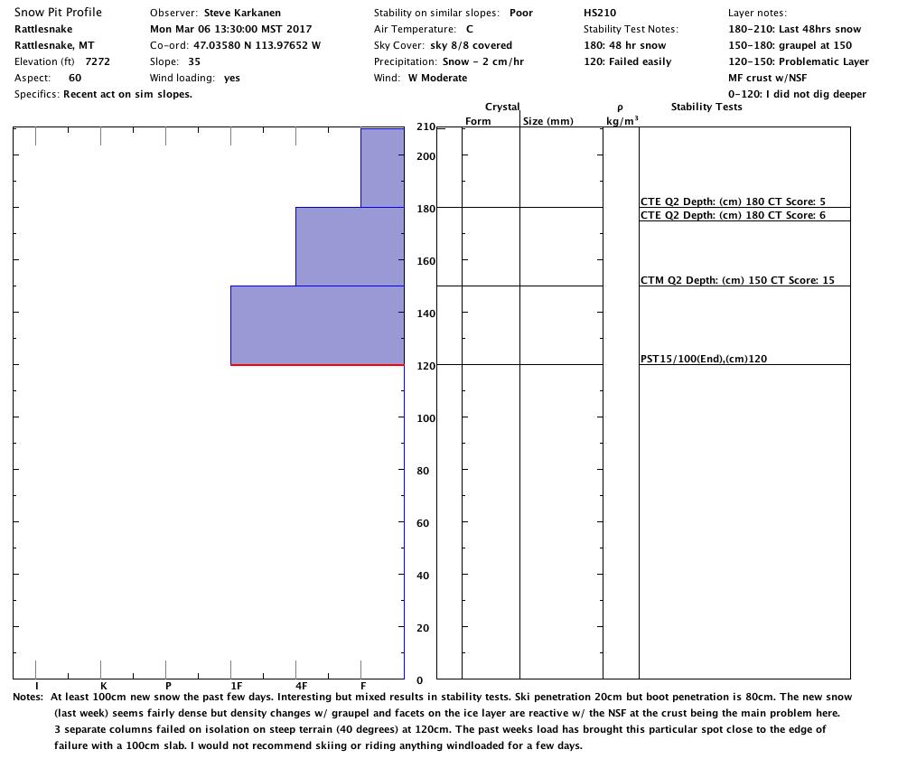
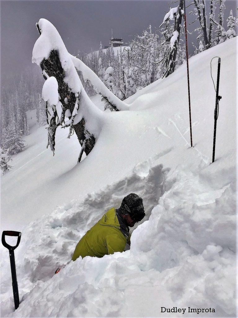
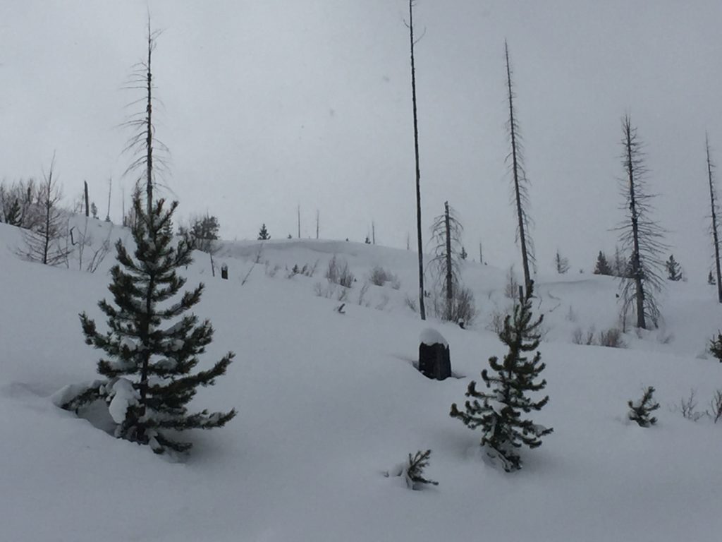
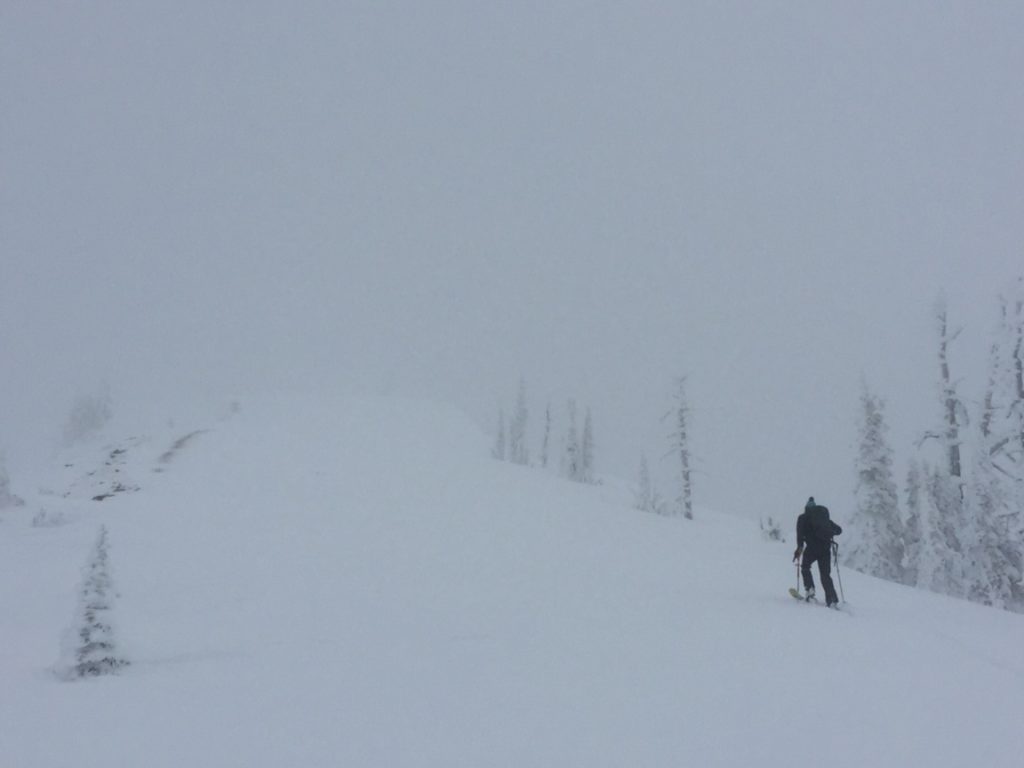
Josh and I took the sleds to Lolo Pass yesterday. Ryan and Steve both were in the Rattlesnake. Dudley was at Yurt Ski in the southern Swan. Josh and I observed active wind transport of snow to leeward slopes. Ryan found depth hoar that propagated in a shallow snowpack(Video). Steve was able to get propagation on Near Surface Facets above the last rain crust in a PST. We have received over 3 feet of snow in the last storm cycle.

The primary concern is wind slabs. Winds have loaded leeward slopes. Identify these slopes and avoid them. Overnight winds gusted into the 40’s in the northern part of the advisory area and gusted into the mid 30’s in the Bitterroot. There was plenty of snow available for transport.

The second avalanche concern is storm slabs. With new snow overnight, the snowpack needs time to adjust to the new load.

The final avalanche problem is persistent weak layers. Steve got propagation on the Near Surface Facets above the last rain crust. Ryan got propagation on the basal facets on the ground. Dig a pit to assess these layers before committing to any steep slope. Avoid rocky outcrops and cliff bands that are likely trigger points.

Sunday, two skiers were caught in an avalanche near Stonewall Mountain by Lincoln, Montana outside of our advisory area. One skier was partially buried while the other was caught in the trees. Lewis and Clark SAR were called and assisted with the rescue. We will update with more information as it becomes available.

Avalanche and Weather Outlook

The forecast calls for significant amounts of snow for tonight through Friday. Snow levels are predicted to rise above 5000 feet by Thursday. With these conditions, the avalanche danger will increase.

If you are out in the backcountry, please send us your observations, these are very helpful in producing the advisory. I will issue the next advisory on March 09, 2017.

Ski and ride safe.


READ FULL ADVISORY  

Problem 1 - Wind Slabs

  • TYPE

    wind-slabs

    Wind Slabs

    Release of a cohesive layer of snow (a slab) formed by the wind.  Wind typically erodes snow from the upwind sides of terrain features and deposits snow on the downwind side.  Wind slabs are often smooth and rounded and sometimes sound hollow, and can range from soft to hard. Wind slabs that form over a persistent weak layer (surface hoar, depth hoar, or near-surface facets) may be termed Persistent Slabs or may develop into Persistent Slabs.

  • SIZE

    3-4

    1-2 (Small-Large)

    The potential size of avalanche resulting from this problem.

  • LIKELIHOOD

    Likelihood-4

    Possible/Likely

    The likelihood of an avalanche resulting from this problem.

Look for wind slabs on leeward terrain.

Problem 2 - Storm Slabs

  • TYPE

    storm-slabs

    Storm Slabs

    Release of a soft cohesive layer (a slab) of new snow which breaks within the storm snow or on the old snow surface. Storm-slab problems typically last between a few hours and few days. Storm-slabs that form over a persistent weak layer (surface hoar, depth hoar, or near-surface facets) may be termed Persistent Slabs or may develop into Persistent Slabs.

  • SIZE

    3-4

    1-2 (Small-Large)

    The potential size of avalanche resulting from this problem.

  • LIKELIHOOD

    Likelihood-5

    Likely

    The likelihood of an avalanche resulting from this problem.

  • ADDED DANGER

    Increased Slope Danger

    Increased/Added Danger

    There is an increased risk of avalanches on these slopes:

    N - North
    NE - Northeast
    E - East
    SE - Southeast
    S - South
    SW - Southwest
    W - West
    NW - Northwest

There has been plenty of loading in the last week give the new a snow time to bond.

Problem 3 - Persistent Slabs

  • TYPE

    persistent-slabs

    Persistent Slabs

    Release of a cohesive layer of soft to hard snow (a slab) in the middle to upper snowpack, when the bond to an underlying persistent weak layer breaks.  Persistent layers include: surface hoar, depth hoar, near-surface facets, or faceted snow. Persistent weak layers can continue to produce avalanches for days, weeks or even months, making them especially dangerous and tricky. As additional snow and wind events build a thicker slab on top of the persistent weak layer, this avalanche problem may develop into a Persistent, Deep-Slab.

  • SIZE

    4-5

    2 (Large)

    The potential size of avalanche resulting from this problem.

  • LIKELIHOOD

    Likelihood-4

    Possible/Likely

    The likelihood of an avalanche resulting from this problem.

There are two layers of concern.  The last rain crust that has near surface facets and the basal facets on the ground in shallow snowpacks.  Dig a pit to assess these layers.  Also avoid likely trigger points, rocky outcrops and cliff bands.

VIDEO

Observations 03/06/2017

Observation 03/06/2017

FORECAST & OUTLOOK

  • Danger Trend

    increasing

    Increasing Danger

  • Area Forecast

    More Snow

The forecast calls for significant amounts of snow for tonight through Friday. Snow levels are predicted to rise above 5000 feet by Thursday. With these conditions, the avalanche danger will increase.

This information is the sole responsibility of the Forest Service and does not apply to operating ski areas. The avalanche danger rating expires at midnight tonight but the information can help you make a more informed decision regarding travel in avalanche terrain for the next few days.

Our advisory area includes National Forest System lands in the Bitterroot Mountains from Lost Trail Pass north to Granite Pass, the Rattlesnake Mountains north of Missoula and the Southern Swan and Mission Mountains near Seeley Lake, MT. Avalanche information for the Lookout Pass/St. Regis Basin area is available from the Idaho Panhandle Avalanche Center.