
An avalanche warning is in effect for the west central Montana backcountry. The current avalanche danger is HIGH. Very dangerous avalanche conditions are present. Travel in avalanche terrain is not recommended today. Human triggered avalanches are very likely, and natural avalanches are likely. Avoid runout zones.
Good morning, this is Travis Craft with an avalanche warning for March 09, 2017. This avalanche warning will expire at 0600 am on March 10, 2017. The warning will be extended or terminated at that time.
This danger rating does not apply to operating ski areas and is the sole responsibility of the U.S. Forest Service.
Weather and Snowpack
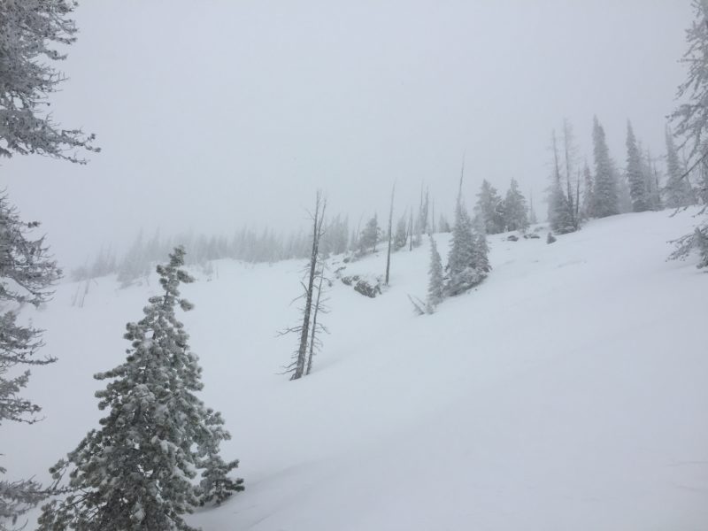
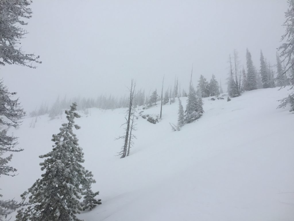
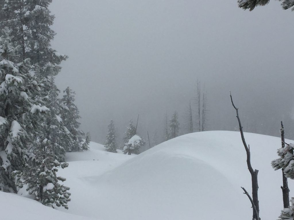
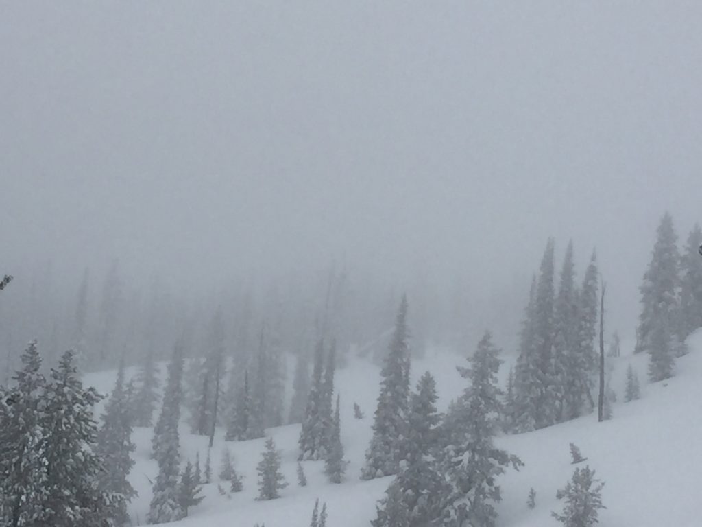
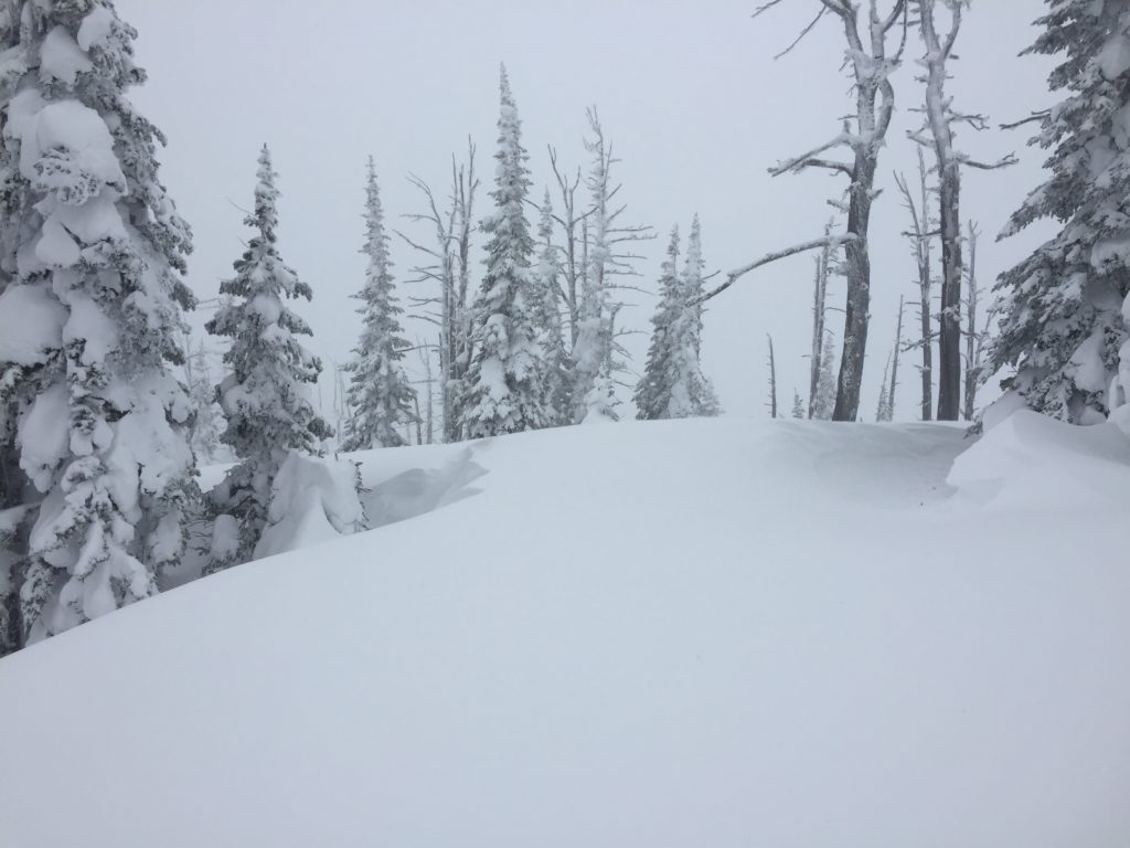
Mountain temperatures range from 14 F to 35 F in the region. Winds are calm in the Bitterroot. Point Six, in the northern part of the advisory area, winds are 10 mph with gusts of 14 mph out of the WNW. The area received 6 to 14 new inches of snow. The new snow had SWE’s ranging from .6 to 1.7 inches of water. In the last 48 hours, the advisory area received significant loading with 1.5 and 3.1 inches of water and strong winds.
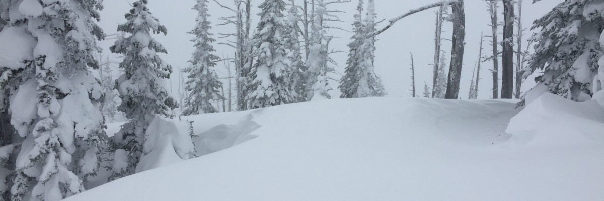
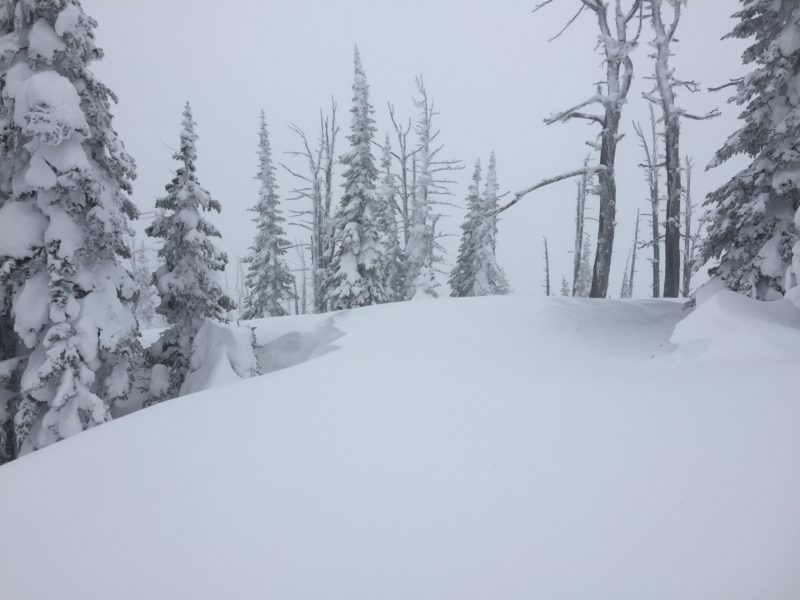
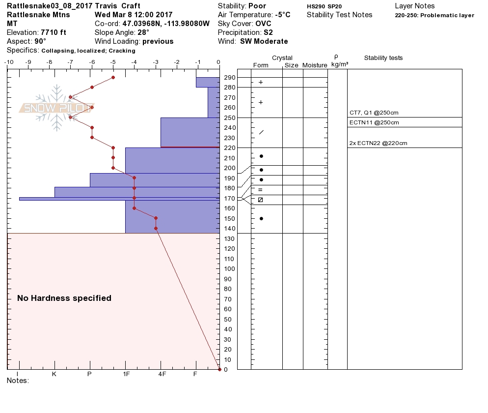
Greg and I toured in the Rattlesnake yesterday. Montana Snowbowl Ski Patrol did control work yesterday. Greg and I found 1 to 3-foot wind slabs that were very sensitive to triggers and released with lots of energy. This storm started out cold and then got warmer. We have an upside down snowpack with low light density snow below the heavier more dense snow. We were able to get propagation on the density change which was 12 inches thick. The Snowbowl Ski Patrol had very sensitive wind slabs and were able to get 1 to 2-foot crowns in the new storm snow with explosives.
The primary avalanche problem is wind slabs. The storm had winds primarily from the South, and then it shifted with winds to the Northwest and West. We had sustained gusts in the mid 30’s, and 40’s the last two days. Winds are lower today but are still loading slopes with the new snow. The wind slabs we found in the Rattlesnake yesterday were very sensitive to triggers and released with energy.
The second avalanche concern today is storm slabs the area has received significant new snow. The snowpack is upside down, and we were able to get propagation on the storm snow interface with the old low-density snow. The snowpack needs time to adjust to the new load.
The snow line will increase this morning in the Bitterroot to 5500 feet. On Friday expect the snow line to increase in elevation in the other mountain ranges in our advisory area. This will add a snow and rain mix to the snowpack and add additional loading to an already unstable snowpack. The new avalanche problems will be wet slabs and wet loose releases in the mid and low elevations in the west central Montana backcountry. Travel in avalanche terrain is not recommended. Avoid Runout zones.
Avalanche and Weather Outlook
More snow is predicted today and tonight. Winds will be calmer. The avalanche danger will increase with additional loading on an already unstable snowpack. Snow lines are predicted to increase in all ranges by Friday morning bringing a snow rain mix to 5500 feet and above. This will add wet slabs and wet loose releases to our avalanche problems in the mid and low elevations in the west central Montana backcountry.
If you are out in the backcountry, please send us your observations, these are very helpful in producing the advisory. We will issue an advisory on Friday, March 10, 2017.
Ski and ride safe.


