Posted:
Mar 28, 2017 @ 6:51 am

The current avalanche danger is Moderate for the West Central Montana backcountry. Human triggered avalanches are possible in specific terrain. Evaluate the snow and terrain carefully to to identify features of concern.

Good morning, this is Logan King with the West Central Montana Avalanche Center’s avalanche advisory for March 28, 2017. This danger rating does not apply to operating ski areas, expires at midnight tonight and is the sole responsibility of the U.S. Forest Service.

Weather and Snowpack

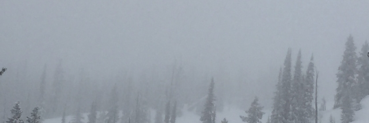
Temperatures this morning remain below freezing and many locations across the advisory area stayed near freezing yesterday. Current temperatures range from 24-31 degrees. The Rattlesnake received the lion’s share of the snow yesterday, totaling 8 inches of snow and .7 inches of SWE. The rest of the region picked up 1-4 inches of snow yesterday adding up to .4 inches of SWE. Winds this morning are light at Point 6 gusting to 15 mph from the W and at Deer Mountain Gusting to 21 mph from the W.

The primary avalanche concern today will be storm slabs in the Rattlesnake. With 8 inches of new snow sitting on a solid bed surface, the new snow will need time to bond to the old snow surface. The storm stayed cool enough that it was snow to about 4,500 feet, but the snow is significantly warmer than the melt freeze crust it was falling on. The storm slab will settle as the temperature difference between the new snow and crust dissipates.

The storm slab has potential to become a wet slab problem later in the day as temperatures climb and the sun starts to affect the upper layers of the snowpack. Carefully evaluate conditions as they change through the day. If there are indicators like roller balls and wet heavy surface snow move towards a cooler aspect as even small wet slabs can be very destructive.

Tim and I went up to Lolo pass yesterday and found an inch of new warm snow sitting on a crust. The new snow will cause loose avalanche problems throughout the region. Loose snow avalanches are mostly likely in steep or rocky terrain and are of greatest concern in areas with terrain traps that increase the consequences of getting caught in a slide.


Avalanche and Weather Outlook

Today should bring a lull in the snow showers and relatively calm conditions will dominate the region today. As the storm slab problem settles today, the wet slab and loose wet activity will increase from warming and solar radiation.

If you are out in the backcountry, please send us your observations, these are very helpful in producing the advisory. The next advisory will be issued March 30, 2017.

Ski and ride safe.

READ FULL ADVISORY  

Problem 1 - Storm Slab

  • TYPE

    storm-slabs

    Storm Slabs

    Release of a soft cohesive layer (a slab) of new snow which breaks within the storm snow or on the old snow surface. Storm-slab problems typically last between a few hours and few days. Storm-slabs that form over a persistent weak layer (surface hoar, depth hoar, or near-surface facets) may be termed Persistent Slabs or may develop into Persistent Slabs.

  • SIZE

    3-4

    1-2 (Small-Large)

    The potential size of avalanche resulting from this problem.

  • LIKELIHOOD

    Likelihood-4

    Possible/Likely

    The likelihood of an avalanche resulting from this problem.

Storm Slabs will be possible to trigger in the rattlesnake where 8 inches of snow fell on a firm crust.

Problem 2 - Loose Dry

  • TYPE

    loose-dry

    Loose Dry

    Release of wet unconsolidated snow or slush. These avalanches typically occur within layers of wet snow near the surface of the snowpack, but they may quickly gouge into lower snowpack layers. Like Loose-Dry Avalanches,they start at a point and entrain snow as they move downhill, forming a fan-shaped avalanche. They generally move slowly, but can contain enough mass to cause significant damage to trees, cars or buildings. Other names for loose-wet avalanches include point-release avalanches or sluffs. Loose-wet avalanches can trigger slab avalanches that break into deeper snow layers.

  • SIZE

    1-2

    < 1 (Small)

    The potential size of avalanche resulting from this problem.

  • LIKELIHOOD

    Likelihood-3

    Possible

    The likelihood of an avalanche resulting from this problem.

Surface snow will easily move on the crust in steep terrain.

Problem 3 - Wet Slabs

  • TYPE

    wet-slabs

    Wet Slabs

    Release of a cohesive layer of snow (a slab) that is generally moist or wet when the flow of liquid water weakens the bond between the slab and the surface below (snow or ground). They often occur during prolonged warming events and/or rain-on-snow events. Wet slabs can be very destructive.

  • SIZE

    3-4

    1-2 (Small-Large)

    The potential size of avalanche resulting from this problem.

  • LIKELIHOOD

    Likelihood-2

    Unlikely/Possible

    The likelihood of an avalanche resulting from this problem.

Wet slabs will be a concern primarily in the Rattlesnake as temperatures increase and the sun warms the snow surface.

Problem 4 - Loose Wet

  • TYPE

    loose-wet

    Loose Wet

    Release of wet unconsolidated snow or slush. These avalanches typically occur within layers of wet snow near the surface of the snowpack, but they may quickly gouge into lower snowpack layers. Like Loose-Dry Avalanches,they start at a point and entrain snow as they move downhill, forming a fan-shaped avalanche. They generally move slowly, but can contain enough mass to cause significant damage to trees, cars or buildings. Other names for loose-wet avalanches include point-release avalanches or sluffs. Loose-wet avalanches can trigger slab avalanches that break into deeper snow layers.

  • SIZE

    1-2

    < 1 (Small)

    The potential size of avalanche resulting from this problem.

  • LIKELIHOOD

    Likelihood-3

    Possible

    The likelihood of an avalanche resulting from this problem.

Loose wet avalanches will be possible this afternoon as the snow surface softens and gets heavy.

FORECAST & OUTLOOK

Decreasing snow showers will give way to more settled weather today.

This information is the sole responsibility of the Forest Service and does not apply to operating ski areas. The avalanche danger rating expires at midnight tonight but the information can help you make a more informed decision regarding travel in avalanche terrain for the next few days.

Our advisory area includes National Forest System lands in the Bitterroot Mountains from Lost Trail Pass north to Granite Pass, the Rattlesnake Mountains north of Missoula and the Southern Swan and Mission Mountains near Seeley Lake, MT. Avalanche information for the Lookout Pass/St. Regis Basin area is available from the Idaho Panhandle Avalanche Center.