Basic Information
Observation Details
Observation Date:
November 24, 2021 - November 24, 2021Submitted:
November 24, 2021Observer:
WCMAC - Ryan Sorenson and Trask BaughmanZone or Region:
Central BitterrootsLocation:
Saint Mary's (Bitterroot)Signs of Unstable Snow
Recent Avalanches?
None ObservedCracking?
IsolatedCollapsing?
None ExperiencedSnow Stability
Stability Rating:
GoodConfidence in Rating:
ModerateStability Trend:
ImprovingBottom Line
Thin and variable coverage exists in the Bitterroot but it's starting to look like winter. Windslab is our main concern on higher elevation wind-loaded slopes.
Media



Advanced Information
Weather Summary
Cloud Cover:
Partly CloudyTemperature:
23.5 °FWind:
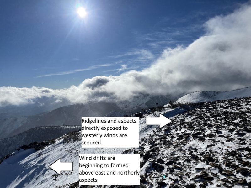
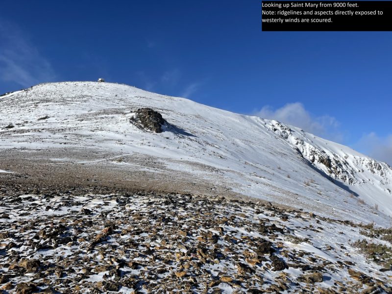
Light , WThe Bitterroot received 6 to 8 inches of snow last night. We experienced light winds however we noted evidence of previous strong westerly winds above the treeline. Many ridgelines and aspects directly exposed to westerly winds are scoured. Wind drifts have formed above east and northerly aspects. Coverage remains thin and variable.
Snowpack Observations
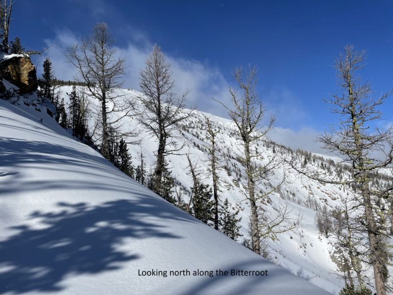
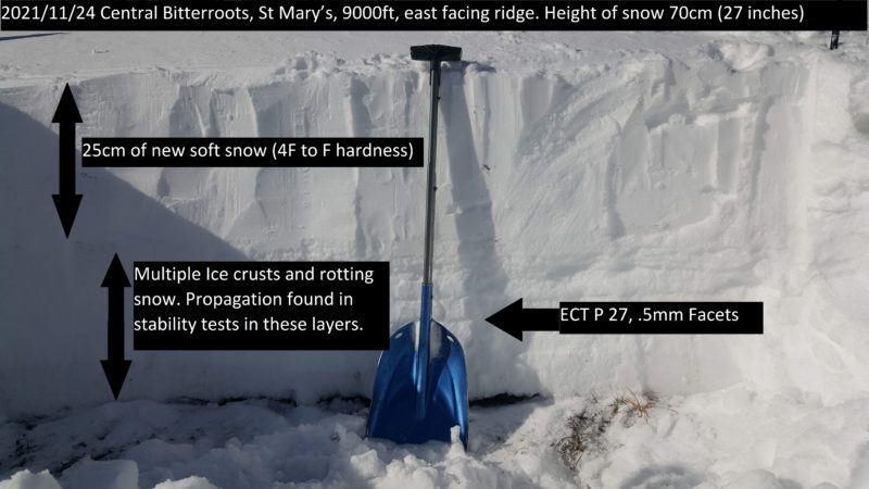
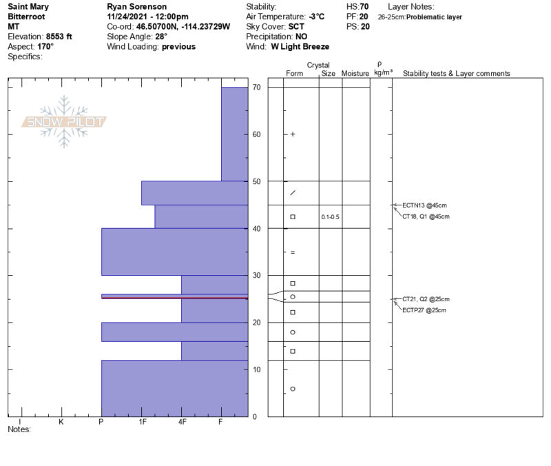
We toured up St. Marys to see how the early season snowpack is shaping up. We observed thin and variable coverage from 6800 to 9300 feet. Coverage at 6800 feet averaged 10 inches. Near treeline, snow depth-averaged 16 inches and with up to 27 inches in loaded areas. The deepest wind drift we measured averaged 60 inches. A pit dug at 8550 feet on a loaded southeasterly slope observed 8 inches of new snow sitting above various crust and faceted layers. The largest crust to note was a rain crust 4 inches thick 12 inches deep. We observed planar results on facets above this crust but no propagation in extended column tests. We did however observe propagation on a strained facet layer between crust at 17 inches deep.