Professional Observation
Basic Information
Observation Details
Observation Date:
December 20, 2021Submitted:
December 20, 2021Observer:
WCMAC - Jeff CartyZone or Region:
OtherLocation:
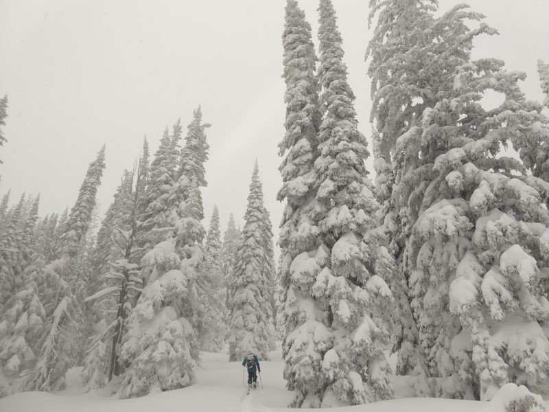
Lolo Pass, Elk MeadowsSigns of Unstable Snow
Recent Avalanches?
None ObservedCracking?
None ExperiencedCollapsing?
None ExperiencedSnow Stability
Stability Rating:
GoodConfidence in Rating:
ModerateStability Trend:
WorseningMedia
Advanced Information
Weather Summary
Cloud Cover:
ObscuredTemperature:
25º F (-4ºC)Wind:
CalmSteady snow all day long, between 1/2 and 1 inch per hour. 12" overnight. No wind during the day. Temperature was 30º F (-1ºC) at 5200', 25ºF (-4ºC) at 7000' Wind was starting to blow, light to moderate from the west, at 5:30 PM.
Snowpack Observations
Steady snowfall, no wind and mild temperatures mean that the new snow was bonding well in this area today. No discernable layers in the upper 48" (120cm) of snowpack. No test results of note.
57" (145cm) snowpack at 6000', 67" (170cm) snowpack at 7000'.
Ski penetration was up to 18" (45cm) meaning lots of snow for wind transport.
It won't take much wind to transport the new snow.
Any windslab that builds on the low density new snow will be very reactive.