Professional Observation
Basic Information
Observation Details
Observation Date:
January 17, 2022Submitted:
January 17, 2022Observer:
WCMAC - Jeff CartyZone or Region:
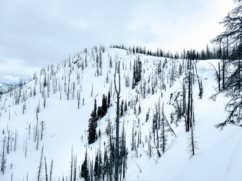
Central BitterrootsLocation:
Rocky PointSigns of Unstable Snow
Recent Avalanches?
None ObservedCracking?
None ExperiencedCollapsing?
None ExperiencedSnow Stability
Stability Rating:
Very GoodConfidence in Rating:
HighStability Trend:
WorseningBottom Line
Warm temperatures led to further consolidation of the snowpack.
Ski penetration was 2 inches, skiing was good, but not deep.
Southerly aspects have a melt freeze crust. Northerly aspects are dry and dense.
We did not find any worrisome surface hoar.
We had no test results of note. We found a very stable snowpack.
Instabilities will be isolated to the new snow arriving tonight.
Media
Advanced Information
Weather Summary
Cloud Cover:
OvercastTemperature:
40ºF (4ºC)Wind:
Moderate , WAn inversion today warmed upper elevations. Solar aspects were moist to 7500'. Clouds increased throughout the afternoon, winds rose to moderate out of the southwest. Temperatures dropped to below freezing by 4:00pm.
Close