Professional Observation
Basic Information
Observation Details
Observation Date:
January 24, 2022 - January 24, 2022Submitted:
January 24, 2022Observer:
WCMAC - Todd GlewZone or Region:
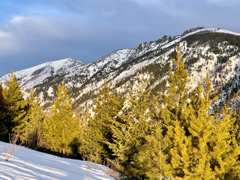
Central BitterrootsLocation:
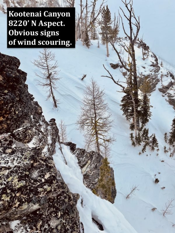
Kootenai CanyonSigns of Unstable Snow
Recent Avalanches?
None ObservedCracking?
None ExperiencedCollapsing?
None ExperiencedSnow Stability
Stability Rating:
GoodConfidence in Rating:
ModerateStability Trend:
SteadyBottom Line
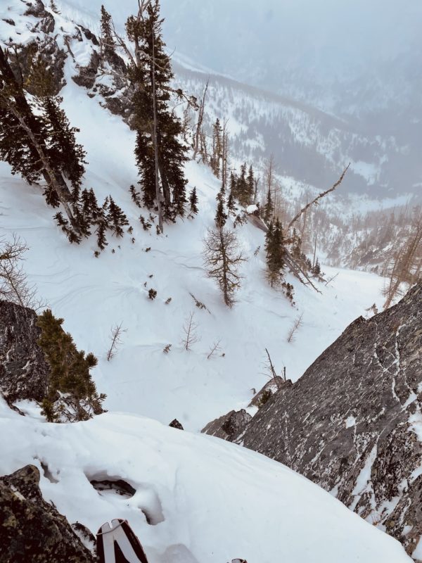
Travel was from 3500' to 8220'
•The most concerning avalanche hazard today was the potential for wind slab avalanches. Although we didn't trigger any wind slab avalanches, they are possible in wind-loaded terrain.
•We were concerned with triggering persistent slab avalanches in steep rocky areas with a shallow snowpack. The snowpack structure for persistent slab avalanches is present in select locations in mid to upper elevation terrain. I think it is unlikely to trigger a persistent slab avalanche, but there are areas in steep and shallow terrain where there is a chance you could trigger one.
•Surface hoar and near-surface facets were observed on wind-protected non-solar aspects in mid to upper elevation terrain.
Media
Advanced Information
Weather Summary
Cloud Cover:
ObscuredWind:
Moderate , NThe day started sunny, and then a storm rolled in mid-day. Winds picked up from the north, and it began lightly snowing on our exit in the afternoon.
Snowpack Observations
•We dug a snow pit at 8220' on a north-facing aspect in Kootenai Canyon. We dug in a shallow area (HS 110cm), thinking we would find buried weak layers, but we did not. We performed a compression test with no results.
•I dug numerous hand pits in thin snowpack areas (less than 4' deep) between 5000' and 8000.' In some of the hand pits, I found faceted snow near the surface of the snow and at the ground. The faceted snow may create a problem when we receive more snow.