Professional Observation
Basic Information
Observation Details
Observation Date:
January 26, 2022Submitted:
January 26, 2022Observer:
WCMAC - David FoxZone or Region:
Central BitterrootsLocation:
BlodgettSigns of Unstable Snow
Recent Avalanches?
None ObservedCracking?
None ExperiencedCollapsing?
None ExperiencedSnow Stability
Stability Rating:
Very GoodConfidence in Rating:
HighStability Trend:
SteadyBottom Line
Generally stable conditions.
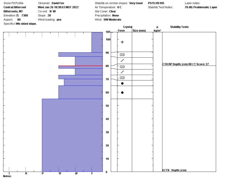
Above 6,000k, approximately 6" (15cm) of new fist density snow was well bonded to the upper crust.
Moderate SW winds with active snow transport and signs of previous wind loading but no wind slabs or instability.
Multiple crusts sandwiched with lower density snow are present in the upper 15" (35cm) of the snowpack.
Shallow snowpack in the area but didn't find any deep facets in the upper elevations.
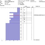
Media
Advanced Information
Weather Summary
Cloud Cover:
ClearTemperature:
30F (-1C)Wind:
Moderate , SWCold temperatures 20-25F (-6 to -4C) in the lower elevation and on shaded terrain. Near freezing 32F (0C) in the upper elevations. Widespread surface hoar in shaded terrain below 6,000k. Winds were calm in the lower elevations but SW at 10-15MPH above 7,000k. Surface snow was being transported in the open exposed terrain and observed signs of previous wind transport.
Snowpack Observations
Height of Snowpack at 7300' was 105cm. Pit was located on a E aspect (80 degrees) with a 28 degree slope.
CT 27 @ 35cm (RP) 1" (2cm) Melt Freeze crust with approximately 3" (7cm) of 4F density snow above and below.
ECTX. No reaction during extended column test.