Basic Information
Observation Details
Observation Date:
February 9, 2022Submitted:
February 10, 2022Observer:
WCMAC - David FoxZone or Region:
Central BitterrootsLocation:
Downing MountainSigns of Unstable Snow
Recent Avalanches?
None ObservedCracking?
None ExperiencedCollapsing?
None ExperiencedSnow Stability
Stability Rating:
Very GoodConfidence in Rating:
HighStability Trend:
SteadyBottom Line
Observations occurred between 4700-8600' on N, E and W aspects.
Stable Conditions were observed.
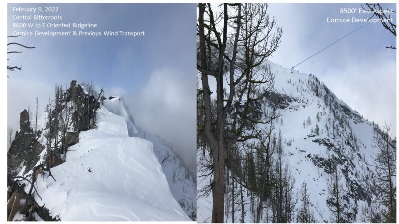
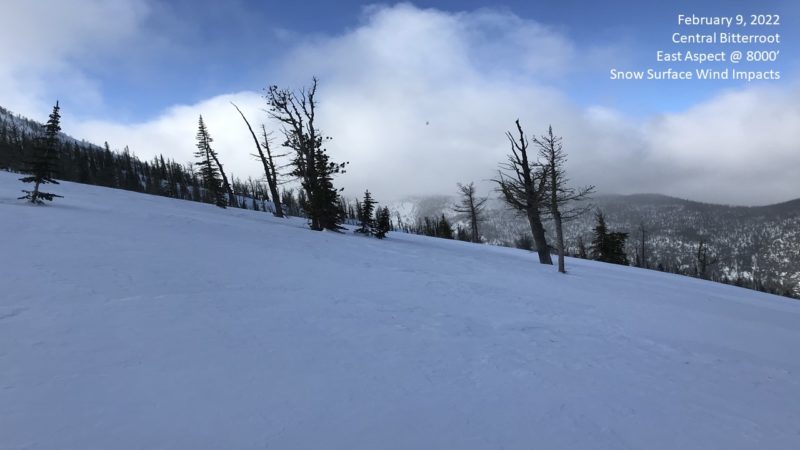
Upper elevations (above 6000') have been severely impacted by multiple days of high winds.
Widespread but unreactive wind slabs on E/N aspects and firm snow surfaces. Large cornice development along ridgelines.
Despite cloud cover, all lower elevation aspects (below 6k) were being impacted by above freezing temperatures creating moist snow surfaces and easy initiation of pinwheel/roller balls.
Above freezing overnight/daytime temperatures created an isothermal snowpack below 5500' this afternoon.
Media


Advanced Information
Weather Summary
Cloud Cover:
OvercastTemperature:
30F (-1C)Wind:
Moderate , WTemperatures were above freezing 35-40F (2 to 5C) up to 8000'. Above 8000' temps were below freezing 28-32 (-2 to 0C). Winds were calm in the lower elevations and strong W at 10-25MPH above 8,000'. Only the new snow (<1CM) was available and being transported as most upper elevations had previously been impacted by high winds.
Snowpack Observations
Height of Snowpack at 8000' was 205cm. Pit was located on a N aspect (0 degrees) with a 30 degree slope.
Observed weak layers were multiple interfaces of firm wind slabs alternating with lower density snow between.
CT 14 @ 15cm (RP) A 4" (10cm) thick new wind slab (4F+) with 2"(5cm) lower density snow (4F) below on top of a dense 1F layer.
CT24 @ 25cm (SC) A 2” 5(cm) thick old wind slab (1F) with 2” (5cm) lower density snow (4F+)
CT30 @ 35cm (SC) A 2” 5(cm) thick old wind slab (1F) with 2” (5cm) lower density snow (4F+)
ECTN21 @ 15CM No propagation during extended column test.

