Basic Information
Observation Details
Observation Date:
February 18, 2022Submitted:
February 18, 2022Observer:
WCMAC - Jeff CartyZone or Region:
OtherLocation:
Rocky PointSigns of Unstable Snow
Recent Avalanches?
YesCracking?
None ExperiencedCollapsing?
None ExperiencedSnow Stability
Stability Rating:
GoodConfidence in Rating:
ModerateStability Trend:
SteadyBottom Line
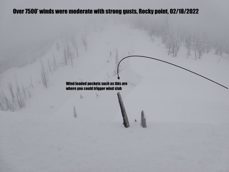
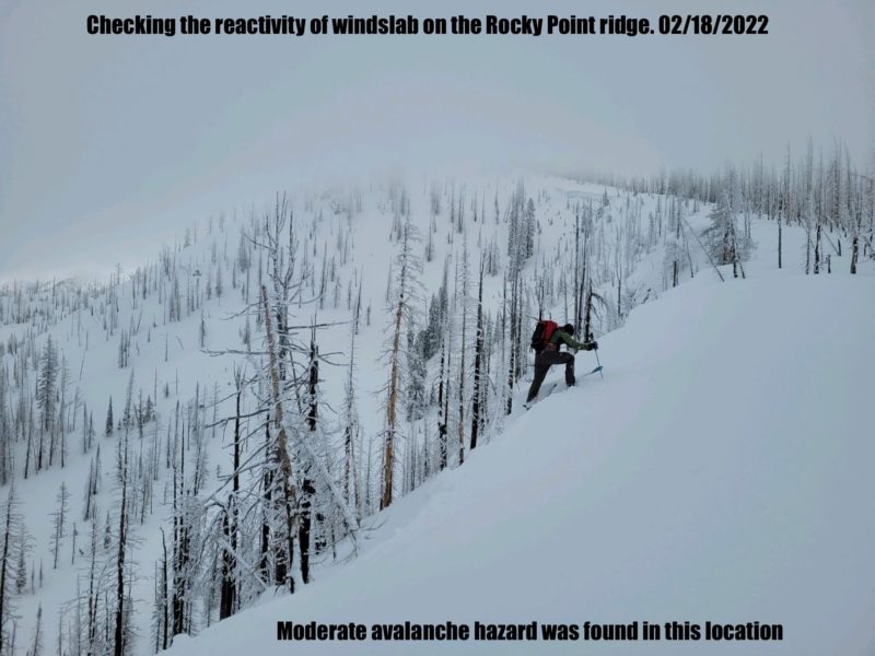
Light winds last night gave the snow pack a chance to adjust to the loading from yesterday. Warm temperatures aided bonding, and signs of instability were very isolated. Snow transport increased this afternoon with rising winds, pockets of reactive wind slab are possible on steep wind loaded terrain. I'm still wary of windloaded slopes over 35º.
Media


Advanced Information
Weather Summary
Cloud Cover:
OvercastTemperature:
23ºF (-5ºC) @ 7800'Wind:
Moderate , SWDespite strong winds in the forecast overnight and today, winds were light, with moderate gusts until 1:30pm when they increased to moderate at elevations below 7500'. Above 7500 feet winds rose to strong in the afternoon. Limited wind transport took place last night, and remained limited until winds increased in the afternoon. Over a foot of snow is available for transport on windward slopes at Rocky Point.
Avalanche Observations
| # | Date | Location | Size | Type | Bed Sfc | Depth | Trigger | Comments | Photo |
|---|---|---|---|---|---|---|---|---|---|
| 1 | Past 24 hours |
Rocky point NE 7500' |
D1 | C | I-New/Old Interface | 18" | N-Natural | None |
Snowpack Observations
We found 73" (185cm) snowpack
The new snow is still low density and seems to be bonding well to the melt freeze crust from last week.
The crust sits on near surface facets that could become a problem layer as the new snow gains strength and is able to transmit a propagation.
No buried surface hoar was found in this area, but near surface facets at the same depth as the surface hoar found in other areas of Lolo Pass propagated in one pit:
ECTP 23 down 22" on near surface facets.
Signs of wind transport were far less than expected after observations of sustained strong winds and wind transport yesterday. Windslab was not reactive in this area. There were no shooting cracks, and no slab found in the areas we were able to test.