Professional Observation
Basic Information
Observation Details
Observation Date:
November 17, 2022Submitted:
November 17, 2022Observer:
WCMAC - Arden FeldmanZone or Region:
Central BitterrootsLocation:
Saint MarySigns of Unstable Snow
Recent Avalanches?
YesCracking?
None ExperiencedCollapsing?
None ExperiencedBottom Line
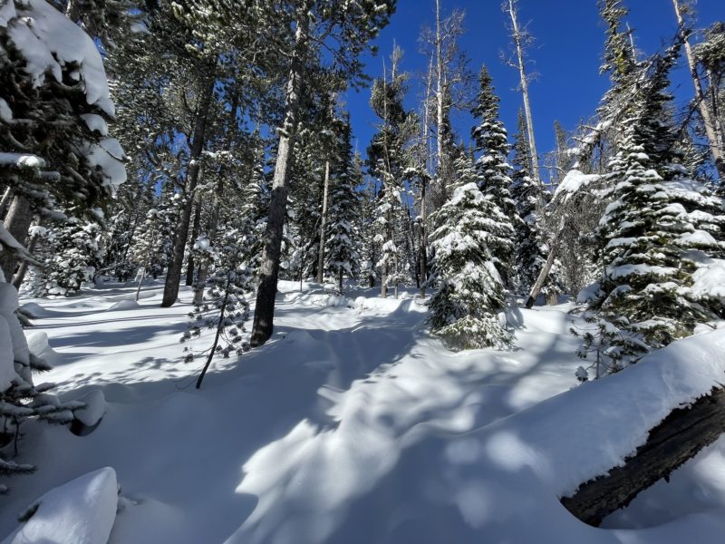
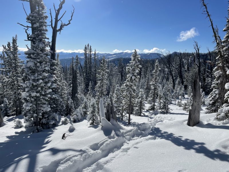
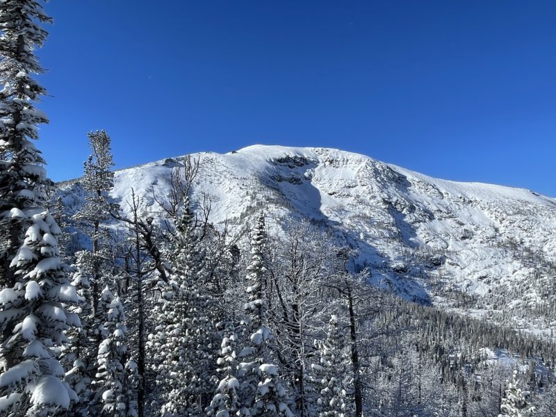
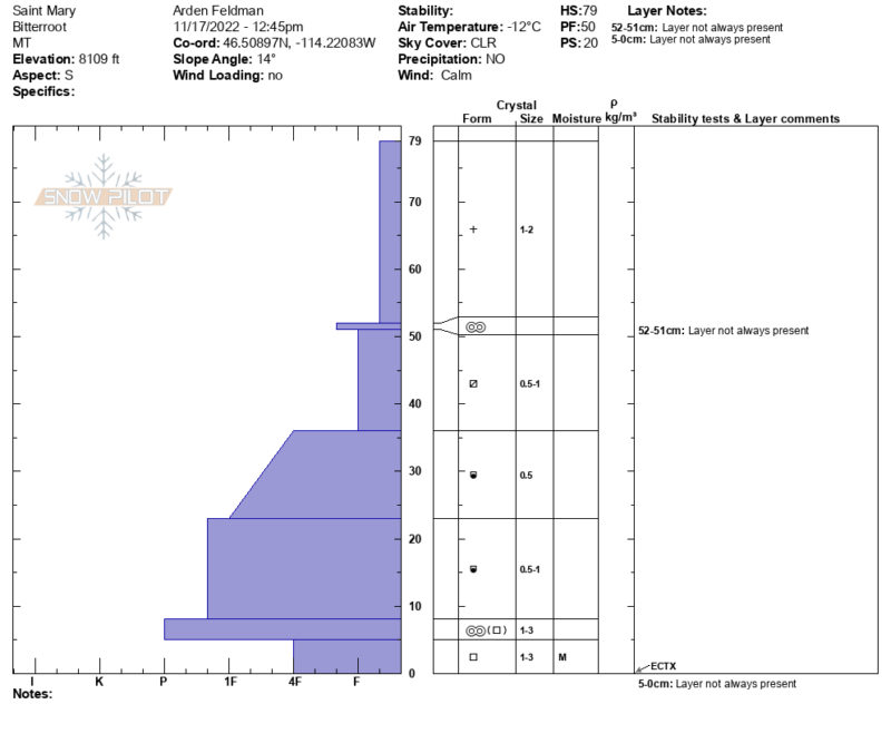
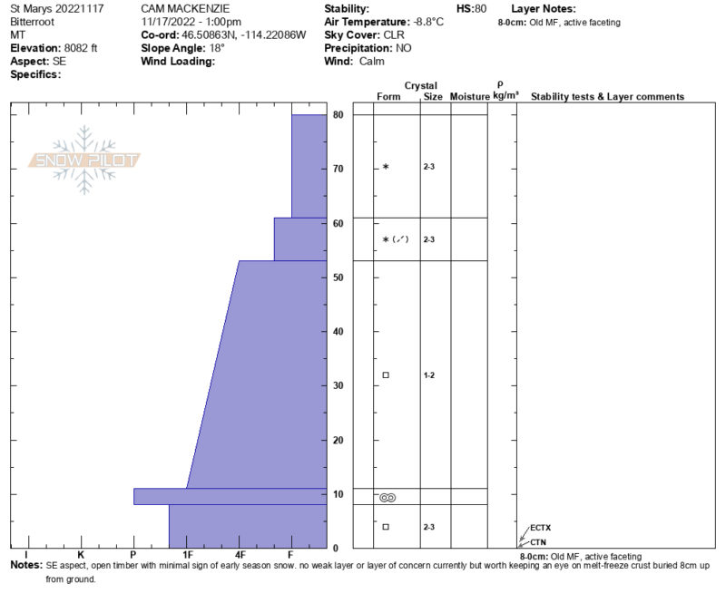
Today we toured up to 8,100 ft on the east ridge of Saint Mary Peak. Our goals were to check out the early season conditions and look for recent avalanches from last night's snowfall. We were able to drive up the road through some deep snow to 6,000 ft. Snow depths ranged from 1-2.5 ft with 6-12" of new snow from last night. Many early season hazards exist.
Media
Advanced Information
Weather Summary
Cloud Cover:
ClearWind:
CalmIt was a beautiful day with mostly clear skies and calm winds. Some clouds were visible in the southern end of the Bitterroot valley. Temperatures were cold.
Snowpack Observations
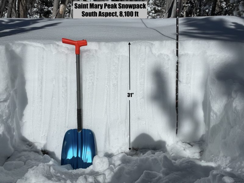
We dug two pits near 8,100 ft on south and southeast aspects. Snow depths were around 2.5 feet deep, with 10.5" (27cm) of new snow. The new snow is very low density. The snowpack has been faceting at all depths, but we did not observe any significant basal facet layers. Both pits had no results in extended column tests (ECTX). See attached pit profiles for more details. We observed several natural D1 dry loose avalanches in the new snow, in steep, rocky terrain on the east face of Saint Mary Peak.