Professional Observation
Basic Information
Observation Details
Observation Date:
November 25, 2022Submitted:
November 25, 2022Observer:
WCMAC - Arden FeldmanZone or Region:
RattlesnakeLocation:
SnowbowlSigns of Unstable Snow
Recent Avalanches?
None ObservedCracking?
None ExperiencedCollapsing?
None ExperiencedBottom Line
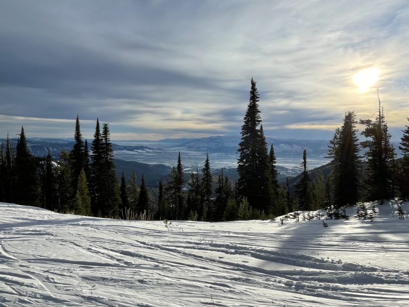
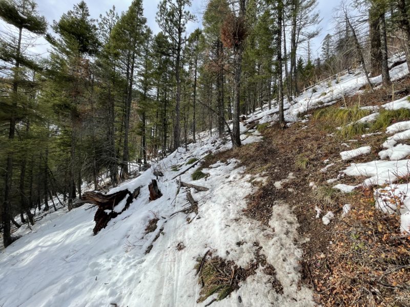
This afternoon we toured up Snowbowl to 7,400 ft to dig a snowpit and observe the effect of recent warm temperatures. We measured an air temperature of 1 degree celsius at 7400ft at 4 pm, and it felt warmer at lower elevations. It was overcast, but the clouds were thin and still allowed some sunshine through. There were light westerly winds with some moderate gusts.
Media
Advanced Information
Snowpack Observations
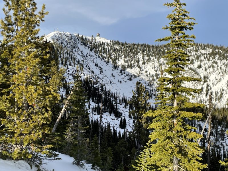
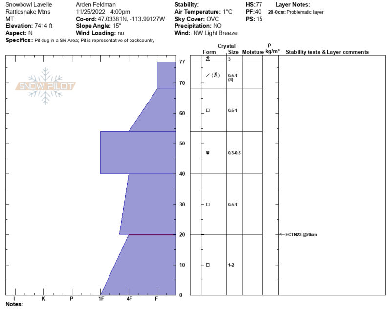
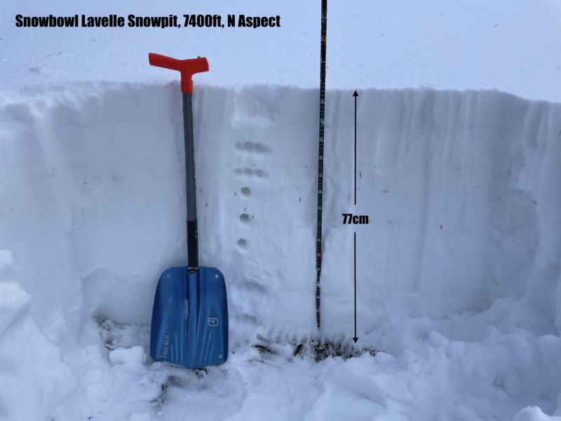
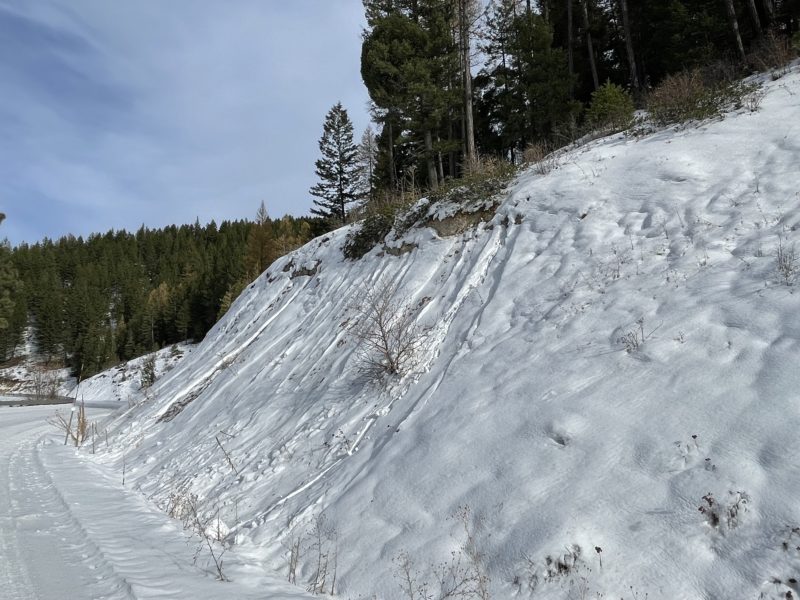
While touring up southerly and westerly slopes below 6,500 ft, we found moist snow down to the ground. Road cuts on the drive up had small natural wet loose activity. Above 6,500 ft, we found mostly dry snow and around 4" (10cm) of new snow mixed with graupel from the storm on Tuesday night. We dug a pit on a north aspect at 7,400 ft. The snow depth was 30" (77 cm), and the snowpack was mostly faceted. An extended column test produced a non-propagating result on 1-2 mm facets 20 cm above the ground (ECTN23). See attached snow profile for more details.