Observation Date: 01/10/2015
Route/Location:
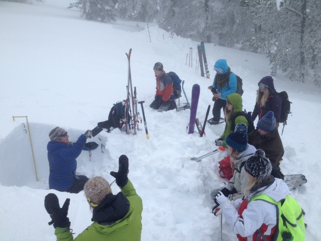
Students from Corvallis High School Classroom Without Walls and Hamilton High School Environmental Sci. went out Anderson Meadow Rd south of HWY 43 near Chief Joesph Pass. This is their observations as part of an avy awareness unit instructed by individuals from Lost Trail Ski Patrol.
The slope was SW aspect and approximately 7300 feet in elevation with an angle of 20 degrees.
Weather:
Overcast with mountain clouds, extensive riming resulting in 2-4″ rime on trees. Temperature at 10:15 was 18 F and temperature at 14:30 was 24 F.
Wind:
Wind was out of the SW approximately 5-10 mph. Surface snow showed signs of very strong wind transport within the recent storm cycle.
New Snow: No New Snow
Avalanche Activity:
None observed on site. No recent activity were observed on road cuts of Hwy 93 as well.
Other Comments:
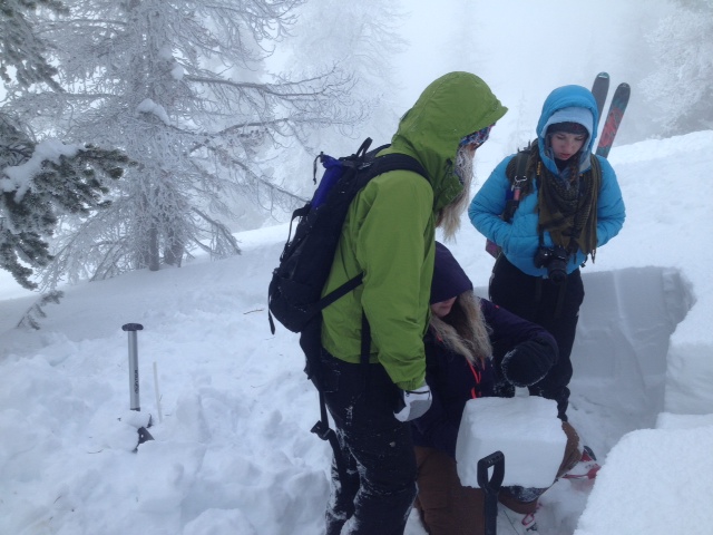
Study pits were clustered in a localized area representing variation of the slope under question. Snow depth varied from 90cm to 139 cm across all study pits. Weak temperature gradients (1-2 C/10cm) were observed within the upper 2/3rds of the snowpack. CT test from 4 different test pits failed (Hard, CT 24-28) along the recent storm snow slab all producing a semi-planar failure. Weak bonded faceted with a few buried surface hoar grains represent the weak layer below the recent storm snow. Interestingly, faceting and feathery grains are present below each of the past 3 storm cycles that have formed into cohesive slabs, however these lower weaknesses did not fail during any of the tests. A rutschblock was conducted and did not fail (R7).
Observer: Michael LeMoine