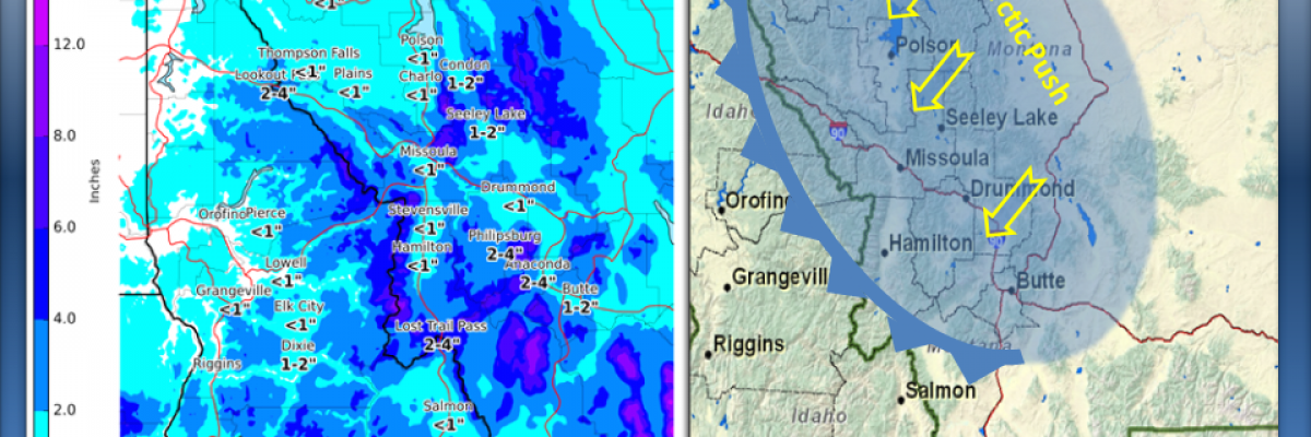
New snow overnight with high E-NE winds has increased the avalanche danger to MODERATE at all mountain locations in west central Montana. The Rattlesnake and southern Missions received 10 and 14 inches respectively with 2 to 4 inches in the Bitterroot mountains. A 30mph east wind (Point Six RAWS) is already impacting the higher terrain this morning and is expected to increase throughout today and Sunday. Expect the avalanche danger to ramp up to CONSIDERABLE on ANY recently wind loaded slope steeper than 35 degrees.
Good morning, this is Steve Karkanen with an avalanche conditions update from the West Central Montana Avalanche Center.
Well, that didn’t last long. We finally made it to generally safe (LOW danger) conditions but this Arctic air and precipitation have changed the outlook. The area of most concern is in the mountains north of Missoula and around Seeley Lake. The snow surface conditions and a weak layer underlying the sun crust will be problematic for the next few days. Strong east winds are moving the new snow onto lee terrain so expect to find wind slabs in unusual locations today.
I will issue the next regular advisory on Monday Feb 23. If you get out and see something interesting, let us know. Your observations are very helpful and may save a life.


