The avalanche danger in the west central Montana Backcountry is rated Low today. The main problem is loose wet avalanches with rising temperatures. There is always some chance of triggering an avalanche if you recreate or travel on slopes 35 degrees and steeper.
Good morning this is Travis Craft with the West Central Montana Avalanche Center’s advisory for March 10, 2015. The danger rating does not apply to operating ski areas, is the sole responsibility of the U.S. Forest Service and expires at midnight tonight.
Avalanche and Weather Discussion
This morning mountain temperatures are right around freezing and winds are 20 mph with gusts of 27 mph out of the West in the advisory area. High pressure will dominate again today with temperatures rising today equal or slightly higher than yesterday. It will feel like another spring day in the mountains.
The snowpack is generally stable in our advisory area. With the lack of new snow and above average temperatures for March the main avalanche problem will be loose wet avalanches. It may be possible to trigger these wet releases on terrain steeper than 35 degrees.
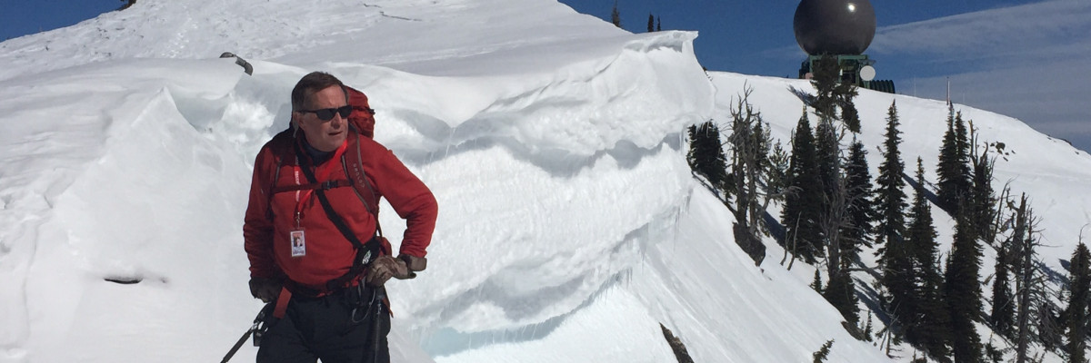
Steve and I toured in the Rattlesnake yesterday and found mostly stable snow with the springlike conditions. With the warm temperatures and no new precipitation travel conditions are very good and the deep persistent weak layer 90cm in our snowpack has become unreactive in stability tests.We observed some loose wet releases from cliff bands in the afternoon on sun exposed aspects.
Dudley was in the Lost Trail Backcountry over the weekend and found that the lingering instabilities in the snowpack were nonreactive in stability tests. His main concern was loose wet snow avalanches with warming temperatures in the afternoon.
Low danger does not mean no danger if you are recreating on sunny slopes and pinwheels or rollerballs start to occur it is time to change aspect. Pay attention to these bull’s-eye clues from the warming snowpack. Cornices are starting to heat up and melt with the spring conditions so give them the respect they deserve.
Weather and Avalanche Outlook
High pressure is forecasted to stay with us till thursday when a weak disturbance will break the cycle and create a chance of some precipitation. If we do get a new load of snow, faceted snow on northerly aspects will be the new layer of concern.
If you get out and want to send us any snow observations use our public observation form or simply send us an e-mail at [email protected] .
I will post the next regularly scheduled advisory on Friday, March 13.
Ride and ski safe, have a great week.


