Posted:
Nov 6, 2015 @ 6:16 pm

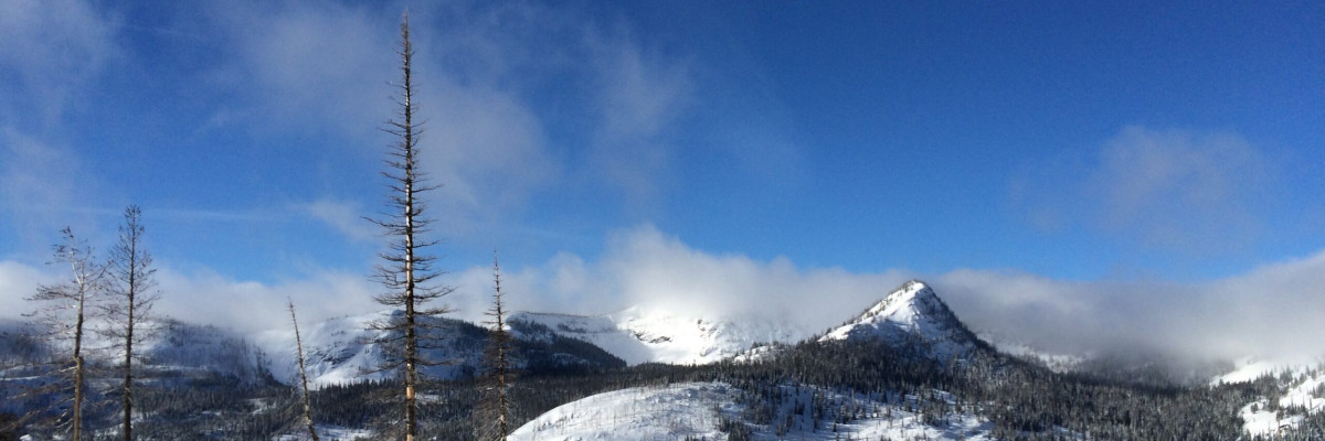
Western Montana received our first significant mountain snowfall this week and it is starting to look like winter has arrived for good at the higher elevations. This is Steve Karkanen with an early season avalanche information update from the West Central Montana Avalanche Center.

While the valleys received a light dusting, the mountains picked up enough snow to start forming a base. A snapshot of 4 SNOTEL sites shows Saddle Mountain with 12″, Twin Lakes 6″, Stuart Peak 9″. It looks like the snow near Hoodoo already melted off after accumulating about 4″.  It’s cold enough and the sun angle low enough that much of what we see in the higher mountains should remain for the winter.

We are currently planning for the 2015-2016 winter and have a few changes to make you aware of. We are adding another advisory day so our scheduled days will be changing. We will be issuing advisories on Tuesday, Thursday and Saturday mornings this winter. We feel that this spreads our coverage out a little better particularly for the weekend period.

Travis Craft and Logan King will be writing and posting the advisories this year with assistance from Dudley and I.  Brian Martens will again be working with local schools, the UM and other groups interested in introductory avalanche safety information and field training.  Send an email to us at [email protected] if you are interested in what we have available for your organization.

We plan to start regular advisories in mid-December with earlier information updates as conditions change.
 

READ FULL ADVISORY  

Problem 1 - Wind loaded terrain

  • TYPE

    wind-slabs

    Wind Slabs

    Release of a cohesive layer of snow (a slab) formed by the wind.  Wind typically erodes snow from the upwind sides of terrain features and deposits snow on the downwind side.  Wind slabs are often smooth and rounded and sometimes sound hollow, and can range from soft to hard. Wind slabs that form over a persistent weak layer (surface hoar, depth hoar, or near-surface facets) may be termed Persistent Slabs or may develop into Persistent Slabs.

  • SIZE

    1-2

    < 1 (Small)

    The potential size of avalanche resulting from this problem.

  • LIKELIHOOD

    Likelihood-3

    Possible

    The likelihood of an avalanche resulting from this problem.

  • ADDED DANGER

    Increased Slope Danger

    Increased/Added Danger

    There is an increased risk of avalanches on these slopes:

    N - North
    NE - Northeast
    E - East

High winds are moving the new snow onto lee terrain forming sensitive wind slabs. These new slabs can be easily triggered and can take you for a ride through exposed rocks, stumps or other features that are not yet covered up. For this reason, early winter is a particularly nasty time to be caught.

On November 5,  2 hunters were caught in a small avalanche in the Bridger Range.  1 person was injured in the avalanche. The Gallatin NF Avalanche Center posted an incident report available here: Sacajewea Bowl Avalanche.

FORECAST & OUTLOOK

The Missoula National Weather Service Office is forecasting continued snow showers with moderate to heavy snow possible at the pass levels Monday and Tuesday (11/9-10).

Check out the 2015-2016 Winter Outlook published on You Tube today by the National Weather Service Office in Missoula.


This information is the sole responsibility of the Forest Service and does not apply to operating ski areas. The avalanche danger rating expires at midnight tonight but the information can help you make a more informed decision regarding travel in avalanche terrain for the next few days.

Our advisory area includes National Forest System lands in the Bitterroot Mountains from Lost Trail Pass north to Granite Pass, the Rattlesnake Mountains north of Missoula and the Southern Swan and Mission Mountains near Seeley Lake, MT. Avalanche information for the Lookout Pass/St. Regis Basin area is available from the Idaho Panhandle Avalanche Center.