
The current avalanche danger is Moderate in the west central Montana backcountry. Evaluate snow and terrain carefully.
Happy New Year! This is Travis Craft with the West Central Montana Avalanche Center’s avalanche advisory for January 03, 2017. This danger rating does not apply to operating ski areas, expires at midnight tonight and is the sole responsibility of the U.S. Forest Service.
Weather and Snowpack
Mountain temperatures range from -5 F to 2 F in the region. In the Bitterroot, winds are 8 mph with gusts of 11 mph out of the S. Point Six, in the northern part of the advisory area, winds are reading 5 mph with gusts of 8 mph out of the S. The forecast area received 0 to 2 inches of new snow in the last 24 hours. The new snow had SWE’s ranging from 0 to .2 inches of water.
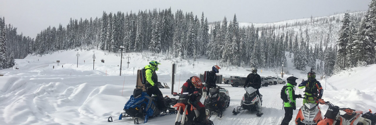
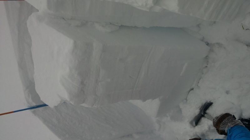
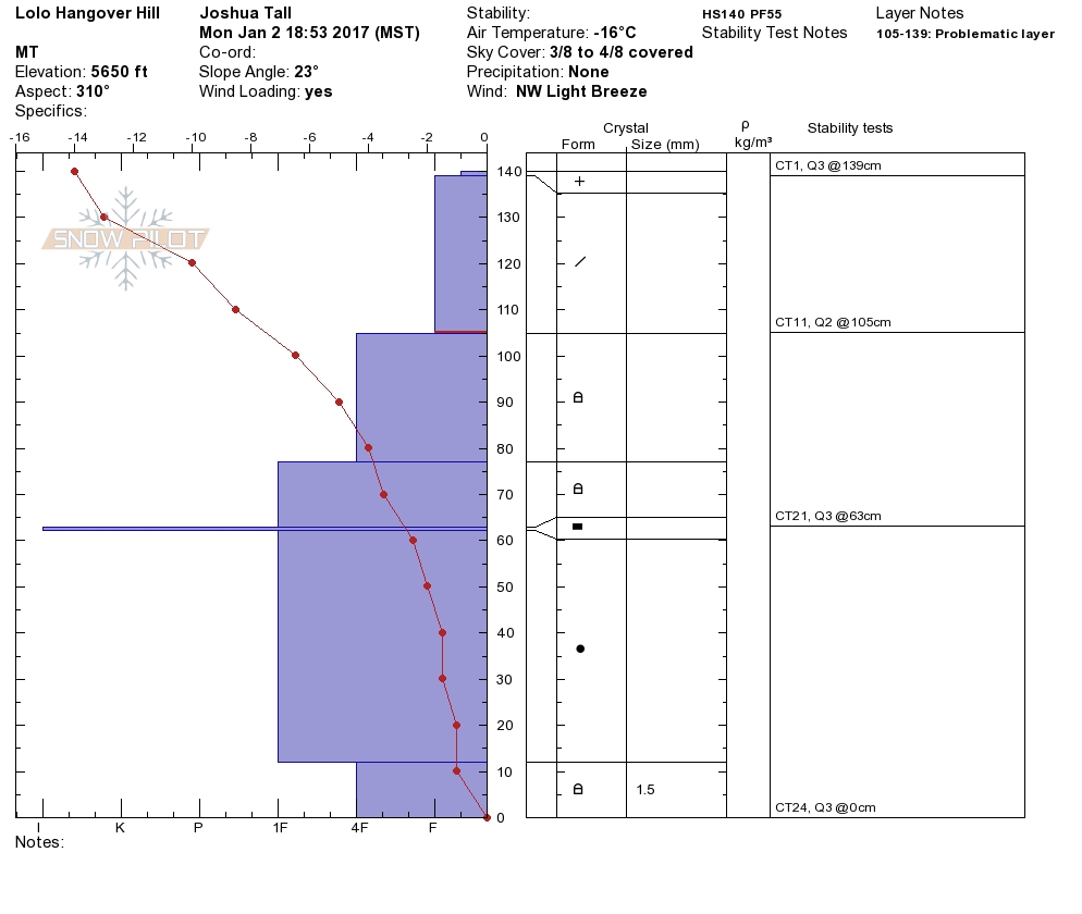
Josh and I toured near Lolo Pass yesterday and observed wind loaded slopes. We had failures in compression tests on the basal facets and on a layer two feet from the surface, but no propagation in ECT’s. The WCMAC received a public observation from this weekend. In a pit dug on MT. Fuji, near Lolo Pass, the layer 2 feet from the surface propagated. The skiers backed off and choose lower angle terrain. Downing Mountain Lodge, in the central Bitterroot, sent in observations that no red flag data (cracking, collapsing and shooting cracks) was observed on tours. Dudley was in the Rattlesnake and was able to get the basal facets to propagate.
The primary avalanche problems are the persistent slabs. There are two layers (1.) 2 feet from the surface and (2.) the basal facets on the ground. Both these layers are reactive in tests. The only way to find these instabilities is to put your shovel in the snow and test them. Before committing to any steep terrain dig a pit and assess these layers.
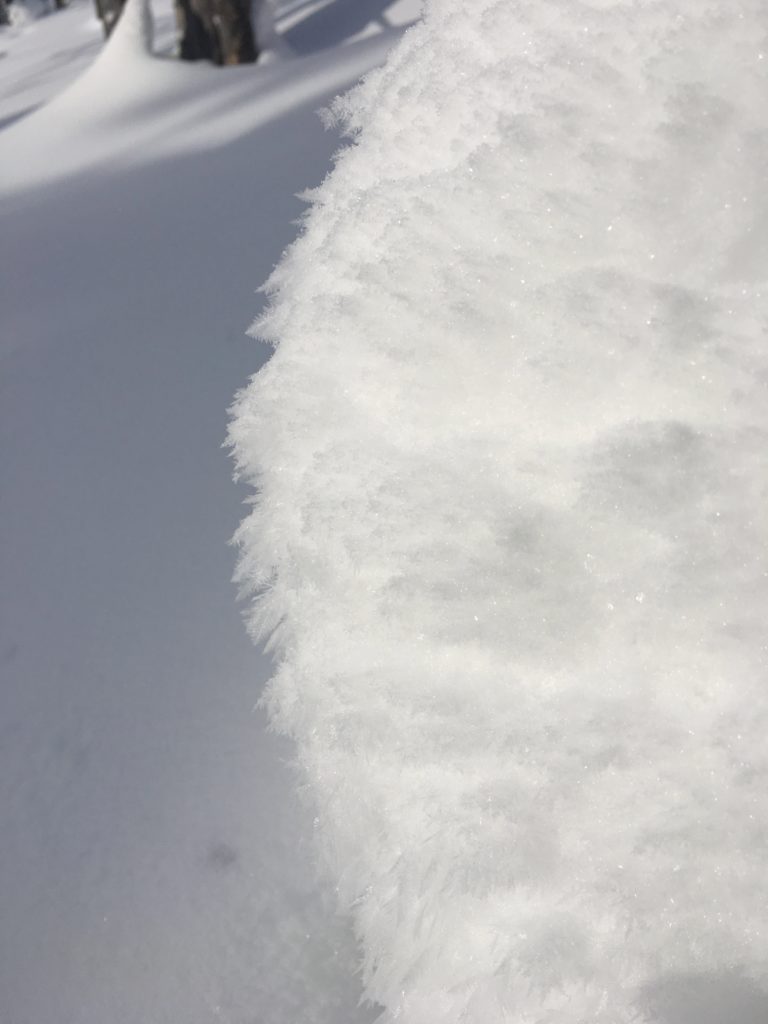
The second concern are wind slabs. These are present in the advisory area on leeward terrain. Look for recently deposited slabs on ridge tops and some slopes are cross loaded.
Avalanche and Weather Outlook.
Cold and dry conditions are forecasted for the rest of the week. Temperatures should warm by Thursday. The avalanche danger should remain the same with the predicted weather. Dig in the snow to assess the layers of concern and pay attention to any red flag data.
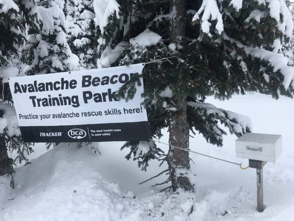
All of our beacon parks are up and running:
- Lolo Pass- near the visiter center
- Snowbowl- off the top chair
- Lost Trail- on the top of chair
- Seeley Lake- at the warming hut.
We have many events in the upcoming weeks, check our calendar for listings. If you are going out to recreate in the backcountry, please send us your observations these are very helpful in producing the advisory. Logan will issue the next advisory on January 05, 2017.
Ski and ride safe.


