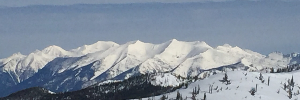
The current avalanche danger in the West Central Montana Backcountry is Moderate. Human triggered avalanches are possible in specific terrain. Evaluate snow and terrain carefully to identify features of concern.
Good morning, this is Logan King with the West Central Montana Avalanche Center’s avalanche advisory for March 18, 2017. This danger rating does not apply to operating ski areas, expires at midnight tonight and is the sole responsibility of the U.S. Forest Service.
Weather and Snowpack
Mountain temperatures this morning range from 35-40 degrees and did not drop below freezing last night. The advisory area started getting rain early this morning and that looks to continue through the day today. Snotels across the region are showing .1-.2 inches of SWE so far. Winds are out of the WSW at Point 6 at 18mph and gusting to 26mph. At Deer Mountain this morning wind are from the SSE at 14mph gusting to 17mph.
The primary avalanche concern today will be wet loose slides. With more free water being added to the snow surface and not freezing overnight the surface snow will be saturated and moving again today. Stay aware of indicators like roller balls to identify that the surface snow is wet and loosing strength. Be cautious of terrain traps as they significantly increase the consequences of getting caught in a loose wet avalanche.
The majority of the advisory area has had a rain on snow event already this season and with rain to 8,500 feet the potential for wet slabs exists. Wet slabs are very challenging to predict so take the time to carefully evaluate conditions and terrain to identify if wet slab problems are present. If the snow is saturated you are better off looking elsewhere to find better conditions and not risk the possibility of a wet slab.
The interface of cold and warm snow is still present in the snowpack at upper elevations along with a preserved graupel layer. These layers are about 2-4 feet deep and are still reactive in stability tests in the Rattlesnake but are not propagating as readily. If you trigger an avalanche in this layer it will be large and have the potential to be very destructive. Take the time to identify if these layers are preserved and reactive before recreating today.
Finally cornices will be a concern again today. We observed large cornices in the Rattlesnake yesterday that were suspect. Without freezing overnight and more rain to 8,500 feet cornices will continue to lose strength today. Steer clear of cornices, as they can fail without warning, and often break farther back than expected.
Avalanche and Weather Outlook
Today looks to bring more rain to 8,500 feet. Rain total are not expected to be as abundant with this warm and wet system and look to bring a maximum of about 1 inch of water. Rain level will drop this evening and into tonight to near valley levels by Sunday as cooler and drier weather returns. Avalanche danger will be on the rise today as rain continues to fall and the temperatures climb.
If you are out in the backcountry, please send us your observations, these are very helpful in producing the advisory. The next advisory will issue the next advisory on March 21, 2017.
Ski and ride safe.


