Good morning and merry Christmas this is Travis Craft with the West Central Montana Avalanche Center’s weather and avalanche update for December 25, 2017. This danger rating does not apply to operating ski areas, expires at midnight tonight and is the sole responsibility of the U.S. Forest Service.
Weather and Snowpack
Mountain temperatures range from 8 F to 20 F in the region. Winds are 5 mph with gusts of 7 mph out of the SW in the Bitterroot. Point Six, in the northern part of the advisory area, winds are 17 mph with gusts of 21 mph out of the West. The advisory area received 3 to 7 inches of snow in the last 24 hours.
The addition of new snow to our poor snowpack structure will increase the avalanche danger.
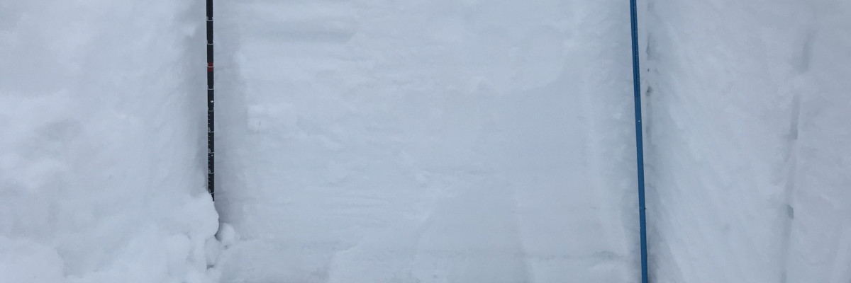
Persistent slabs will continue to be the primary avalanche concern today. Facets on the Thanksgiving crust and buried surface hoar are the greatest concern not only because they are the most sensitive layers but because if they slide they will result in large avalanches. You will need to dig and see if these layers are present and reactive. Carefully evaluate the snowpack before exposing yourself to avalanche terrain.
Wind slabs are the second avalanche problem. Leeward terrain and cross-loaded slopes will have wind slabs. Look for rounded pillows of snow near ridgelines and recognize signs of instability such as cracking in the surface snow. These slabs will be sensitive to human triggers.


