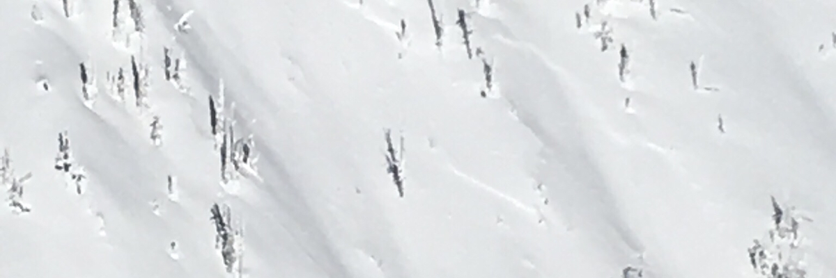
The current avalanche danger is CONSIDERABLE in the West central Montana backcountry. Careful snowpack evaluation, cautious route-finding, and conservative decision-making are essential to recreate today. Natural avalanches are possible and human triggered avalanches are likely across the region.
Good morning and happy New Year, this is Travis Craft with the West Central Montana Avalanche Center’s avalanche advisory for January 01, 2018. This danger rating does not apply to operating ski areas, expires at midnight tonight and is the sole responsibility of the U.S. Forest Service.
Weather and Snowpack
Mountain temperatures range from 9 F to 21 F in the region. In the Bitterroot winds are 7 mph with gusts of 12 out of the SSW. In the northern part of the advisory area, at Point Six, winds are reading 24 mph with gusts of 28 mph out of the WNW. The forecast area received 0 to 1 inch of new snow in the last 24 hours.
We are getting reports of skier triggered slides from yesterday. These slides failed on the facets above the Thanksgiving day crust. Skier or rider triggered avalanches are likely.
The primary avalanche problem today is wind slabs. Leeward terrain will have large wind slabs. Look for rounded pillows of snow near ridgelines and recognize signs of instability such as cracking in the surface snow. These slabs will be sensitive to human triggers.
The second avalanche problem is persistent slabs. The layer of facets above the Thanksgiving crust has been stressed. This layer has been shown to fail in the last two natural avalanche cycles. This means careful snowpack evaluation, cautious route-finding, and conservative decision-making are essential to recreate today. Look for clues from the snowpack shooting cracks and localized collapsing. Dig a pit on low angle terrain in a safe spot out of runout zones to see how the layers are adjusting to the new load.
The final avalanche problem is storm slabs. These slabs are becoming less reactive as the snowpack adjusts to the weight of the new snow. Look for shooting cracks and try small test slopes with low consequence to see how the new snow is bonding.
Avalanche and Weather Outlook
Our next chance for snow will be in the middle of the week. With the forecast look for the avalanche danger to slowly decrease as the snowpack adjusts to the new snow.
If you are out in the backcountry, please send us your observation, these are very helpful in producing the advisory. I will issue a weather update tomorrow January 01, 2018.
Ski and ride safe.


