Good morning, this is Logan King with the West Central Montana Avalanche Center’s weather and avalanche update for January 3rd, 2018. This danger rating does not apply to operating ski areas, expires at midnight tonight and is the sole responsibility of the U.S. Forest Service.
Weather and Snowpack
Temperatures at mountain locations vary from 15 to 31 degrees this morning. Winds at Point 6 are 17mph gusting to 21mph from the W and at Deer Mountain are 8mph Gusting to 12mph. A trace to 4 inches of snow has fallen in the last 24 hours across the region.
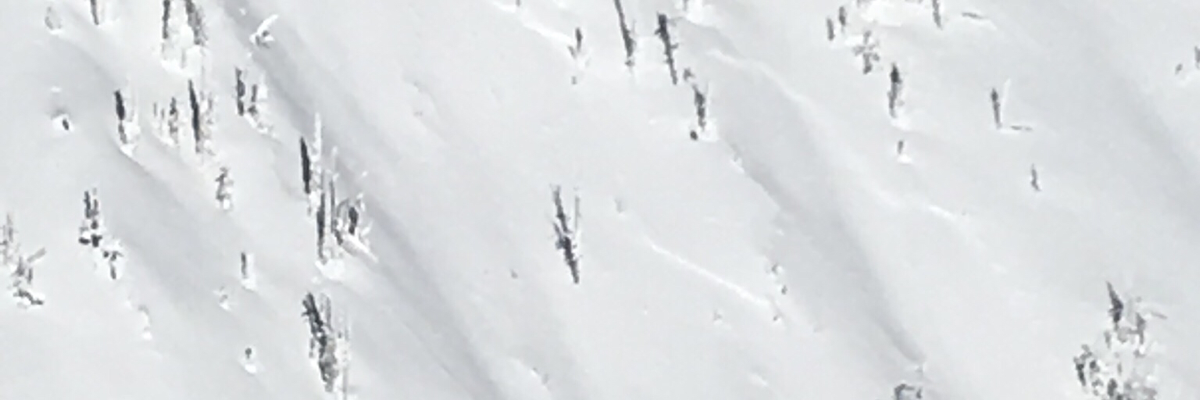
Wind slabs remain the primary concern today. The secondary concern is persistent weak layers. Wind slabs have continued to produce avalanches that are stepping down to the facets on the Thanksgiving crust. The combination of a stiff windslab and the added stress of wind loading continues to be able to trigger this weak layer. These avalanches have been large high consequence events and should be treated with respect. Be cautious of wind loaded terrain near ridge lines and keep an eye out for cross-loaded pockets that can sneak up on you.
Light snow this morning will subside and mountain temperatures will be in the low 30’s. Snow looks to return to the area on Friday.
If you are out in the backcountry, please send us your observation, these are very helpful in producing the advisory. The next advisory will be issued tomorrow January 4th, 2018.
Ski and ride safe.


