Good Morning, this is Logan King with a springtime avalanche update.
SPRINGTIME SNOW SAFETY CONSIDERATIONS
Winter has lingered across the region for a while, but spring has finally made an earnest appearance in West Central Montana. The last few days have brought temperatures that are well above freezing. Warm temperatures paired with clear conditions have finally pushed to snowpack into the warm melt-freeze cycles and wet late day conditions that we expect to see this time of year.
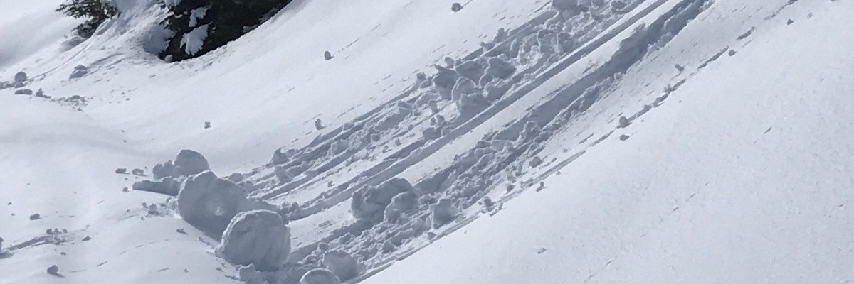
The snowpack has entered a predictable cycle which means that avalanche hazards can primarily be managed with timing when and where you choose to travel. In areas where it freezes overnight firm melt-freeze crust will form and will develop into wet avalanche problems as they warm. The southern half of the compass will be the first to go. If you see signs of weakening snow like pinwheels and roller balls you should move to a cooler and shaded aspect. Avoid traveling on or under cornices especially later in the day.
Continually re-evaluate conditions as they will be changing on the scale of minutes, and will do so every day. Don’t be lulled into complacency by the warm and sunny weather. Wet and Glide avalanches are a serious concern this time of year along with cornice failures so stay on your toes and use safe travel protocols if you are out in the mountains.
We will continue to post public observations as long as we receive them and will update information as need be. If you are out recreating in the backcountry, please continue to send us observations by sending an email or use the form available on our website at missoulaavalanche.org. The information provided might keep someone out of trouble.
Ski and ride safe.


