Posted:
Apr 2, 2019 @ 5:35 am

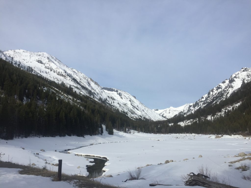
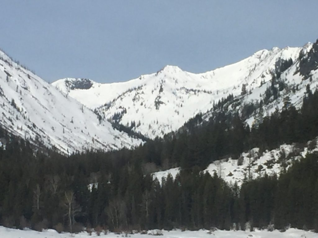
The current avalanche danger is LOW for the West Central Montana backcountry. Low danger does not mean no danger, small avalanches are possible in isolated terrain with increased danger in extreme terrain. Watch for unstable snow to develop on isolated terrain features as the snow warms today. The avalanche danger will trend towards moderate later in the day as natural loose wet cycles develop.

Good morning, this is Logan King with the West Central Montana Avalanche Center’s avalanche advisory for Tuesday, April 2nd, 2019. This danger rating does not apply to operating ski areas, expires at midnight tonight and is the sole responsibility of the U.S. Forest Service.

Weather and Snowpack

The snowpack continues to experience freezing temperatures overnight and this morning at 4am temperatures range from 24 to 28 degrees Fahrenheit. Winds are variable and light this morning at 3 mph with gusts up to 8 mph.

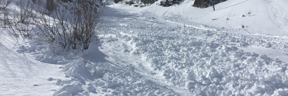
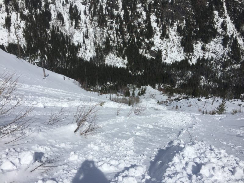
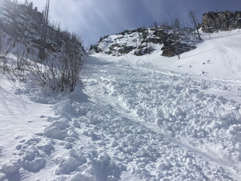
The greatest concern today are loose wet avalanches. Yesterday while touring in the central Bitterroot we observed widespread loose wet activity at all elevations and on every aspect but true north. This problem will increase through the day before peaking in the afternoon and will follow the sun across slopes. Although small and relatively slow-moving, loose wet sluffs have a lot of mass and can easily knock you down and take you for a traumatic ride. Avoid steep sun exposed terrain especially if terrain traps are present. If the snow starts to get wet and heavy move to a different aspect or call it a day.

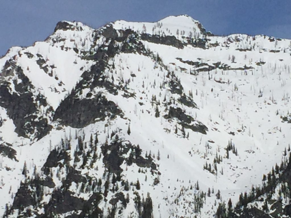
The other concerns to keep an eye out for are persistent slabs and wind slabs. On a north facing slopes, we found preserved depth hoar above 7,000 feet in shallow snow near rocky terrain. This layer is very isolated but was reactive in stability tests. Shallow winds slabs will also be possible in cold snow on northern exposures. Again these problems are very isolated and unlikely to be triggered but if you find cold dry snow assess it carefully for wind loading and persistent weak layers before committing to steep terrain.

Avalanche and Weather Outlook

The forecast for today is scattered clouds and sun. No snow is expected and light winds from the Northeast will continue. The avalanche danger will increase through the day as the snow surface warms but isn’t in for any major changes until this weekend when the next round of precipitation arrives.

If you get out into the backcountry, please share your observations on our public observation page.

Ski and ride safe.

READ FULL ADVISORY  

Problem 1 - Loose Wet

  • TYPE

    loose-wet

    Loose Wet

    Release of wet unconsolidated snow or slush. These avalanches typically occur within layers of wet snow near the surface of the snowpack, but they may quickly gouge into lower snowpack layers. Like Loose-Dry Avalanches,they start at a point and entrain snow as they move downhill, forming a fan-shaped avalanche. They generally move slowly, but can contain enough mass to cause significant damage to trees, cars or buildings. Other names for loose-wet avalanches include point-release avalanches or sluffs. Loose-wet avalanches can trigger slab avalanches that break into deeper snow layers.

  • SIZE

    1-2

    < 1 (Small)

    The potential size of avalanche resulting from this problem.

  • LIKELIHOOD

    Likelihood-5

    Likely

    The likelihood of an avalanche resulting from this problem.

  • ADDED DANGER

    Increased Slope Danger

    Increased/Added Danger

    There is an increased risk of avalanches on these slopes:

    NE - Northeast
    E - East
    SE - Southeast
    S - South
    SW - Southwest
    W - West
    NW - Northwest

  • IMAGE

Loose Wet at all elevations increasing later in the day.

Problem 2 - Persistent

  • TYPE

    persistent-slabs

    Persistent Slabs

    Release of a cohesive layer of soft to hard snow (a slab) in the middle to upper snowpack, when the bond to an underlying persistent weak layer breaks.  Persistent layers include: surface hoar, depth hoar, near-surface facets, or faceted snow. Persistent weak layers can continue to produce avalanches for days, weeks or even months, making them especially dangerous and tricky. As additional snow and wind events build a thicker slab on top of the persistent weak layer, this avalanche problem may develop into a Persistent, Deep-Slab.

  • SIZE

    3-4

    1-2 (Small-Large)

    The potential size of avalanche resulting from this problem.

  • LIKELIHOOD

    Likelihood-1

    Unlikely

    The likelihood of an avalanche resulting from this problem.

  • ADDED DANGER

    Increased Slope Danger

    Increased/Added Danger

    There is an increased risk of avalanches on these slopes:

    N - North

Very isolated locations of persistent weak snow can be found on north aspects in shallow snow and near rocks.

Problem 3 - Wind Drifted Snow

  • TYPE

    wind-slabs

    Wind Slabs

    Release of a cohesive layer of snow (a slab) formed by the wind.  Wind typically erodes snow from the upwind sides of terrain features and deposits snow on the downwind side.  Wind slabs are often smooth and rounded and sometimes sound hollow, and can range from soft to hard. Wind slabs that form over a persistent weak layer (surface hoar, depth hoar, or near-surface facets) may be termed Persistent Slabs or may develop into Persistent Slabs.

  • SIZE

    2-3

    1 (Small)

    The potential size of avalanche resulting from this problem.

  • LIKELIHOOD

    Likelihood-1

    Unlikely

    The likelihood of an avalanche resulting from this problem.

  • ADDED DANGER

    Increased Slope Danger

    Increased/Added Danger

    There is an increased risk of avalanches on these slopes:

    N - North
    NE - Northeast
    NW - Northwest

Wind affected snow can be found in isolated terrain where cold snow is lingering.

FORECAST & OUTLOOK

Partly cloudy skies with no precipitation and light winds today.

This information is the sole responsibility of the Forest Service and does not apply to operating ski areas. The avalanche danger rating expires at midnight tonight but the information can help you make a more informed decision regarding travel in avalanche terrain for the next few days.

Our advisory area includes National Forest System lands in the Bitterroot Mountains from Lost Trail Pass north to Granite Pass, the Rattlesnake Mountains north of Missoula and the Southern Swan and Mission Mountains near Seeley Lake, MT. Avalanche information for the Lookout Pass/St. Regis Basin area is available from the Idaho Panhandle Avalanche Center.