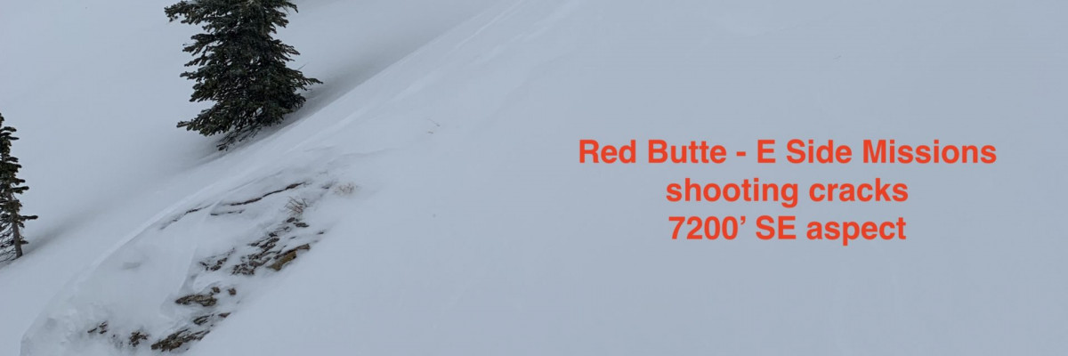
This is Travis Craft with a snowpack update for December 12, 2019. We will start standard forecasts on Saturday, December 14, 2019.
The forecast area received 2-6 inches of snow overnight and this morning. Winds were strong to moderate over the last 24 hours.
New snow and winds increased the avalanche danger. Winds have loaded leeward slopes, creating sensitive wind slabs. The new snow is falling on a variety of old snow surfaces, and bonding takes time. The new loading is testing the poor snowpack structure.
The primary avalanche problem is wind slabs. Winds actively loaded leeward slopes yesterday in our observations.
The second avalanche concern is persistent slabs. As new snow and drifted snow increase, the buried weak layers become more sensitive and reactive to human triggers. Stability tests are showing propagation.
The third avalanche problem is new snow. It takes time for the snow to bond to the old snow surfaces. Look for loose dry sluffs. In areas that have higher accumulations of snow, look for storm slabs.
The way to mitigate all of these hazards is to stick to lower angle terrain less than 30 degrees that is sheltered from the wind. Look for red flags. Red flags are the snowpack’s way of giving clues to instabilities. Dig a snowpit to look for buried weak layers.
More snow and wind is forecasted through the weekend. This will increase the avalanche danger.See the forecast.
Please share your observations with us. Any information you can provide helps us forecast better.
Ski and ride safe!


