
The avalanche danger is rated at Moderate in southern Bitterroots; elsewhere in the west central Montana backcountry the avalanche danger is rated at low. A low danger rating does not indicate no avalanche danger. Isolated pockets of instability may exist. You should always use some caution when recreating on slopes 35 degrees and steeper.
Good morning, this is Dudley Improta with the West Central Montana Avalanche Center’s advisory for January 30, 2015. This danger rating does not apply to operating ski areas, is the sole responsibility of the U.S. Forest Service and expires at midnight tonight (1/30).
Snowpack and Weather Discussion
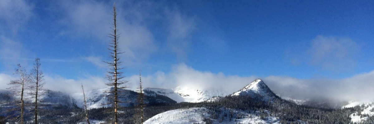
Expect another sunny day in the mountains with temperatures warming to above freezing. This morning temperatures above 6000 feet are in the 20’s F and northwest winds are blowing 12 to 16 mph. It’s colder in the southern Missions with temperatures in the mid-teens.
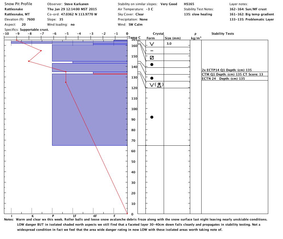
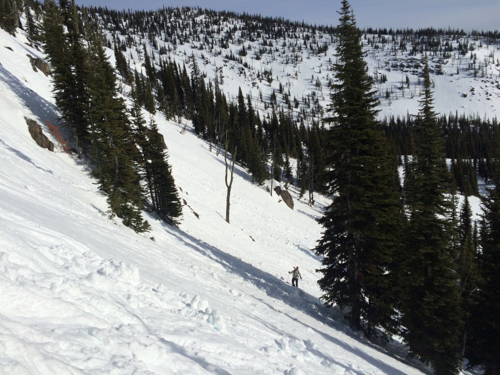
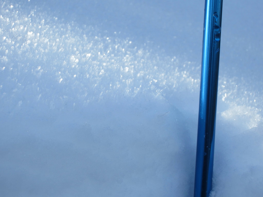
Snow pits and stability testing continue to show weaknesses on cold, shaded northerly aspects in the southern Bitterroots (see pit profile below). Way back when it did snow, around the MLK weekend, the southern Bitterroots received about 20 inches of snow. That snow fell on a surface hoar layer and has been reacting in tests since then.
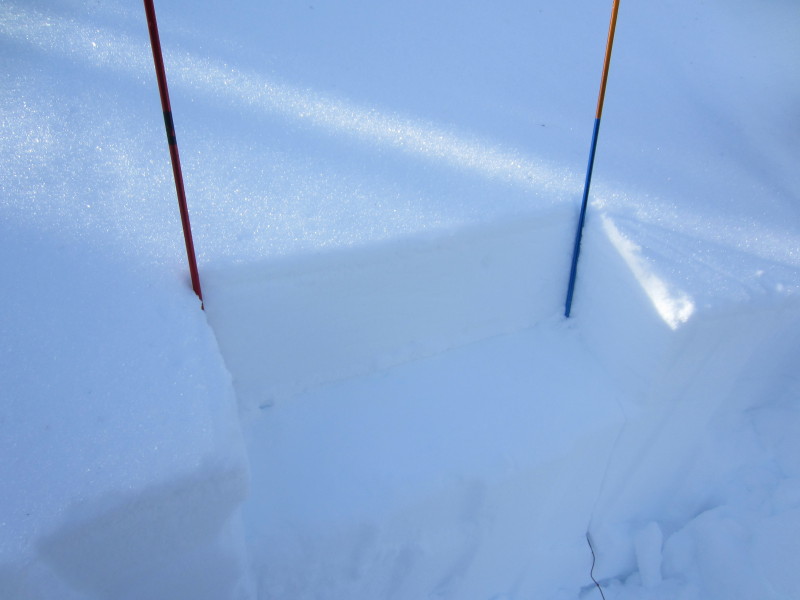
You can still find the surface hoar layer in other parts of the advisory area; and get it to fail in stability tests (i.e. check the pit photo and profile below from the Rattlesnakes yesterday). As in the southern Bitterroots, the failures and the buried surface hoar layer are associated with cold, shady slopes and north aspects.
Even with low danger there is always some avalanche problem to consider. I would consider this persistent slab that is 40 inches deep in the southern Bitterroots and 10 to 12 inches deep in the Rattlesnakes. Increased caution is warranted on steep (>35 degrees) slopes with north aspects.
Low danger is like a green traffic light. When I do get a green light, I take a second to see if anyone is running a red light into the intersection before I take off. In other words, keep in mind unstable snow may exist on steep slopes in isolated areas.
Avalanche and Weather Outlook
More of the same until Saturday. A transition to a more active weather pattern is anticipated at the beginning of the week. I expect avalanche conditions to remain the same until we get a significant change in the current weather. Surface hoar and faceted snow have formed across the advisory area; we’ll see how how this affects things when we get the new snow we’re all hoping for.
Classes and Fundraiser
Join missoulaavalanche (the 501 3 C that supports the West Central Montana Avalanche Center) at the Kettlehouse Northside for “pintnite” on Wednesday, February 4, 5-8pm. Have a brew, support the Center.
Level 1 classes in February, sponsored by missoulaavalanche with the help of UM Campus Recreation, have openings. Check our education page for details.
Steve will issue the next regularly scheduled advisory on Tuesday, February 3. Ride and ski safe, pray for snow and have a great weekend.


