
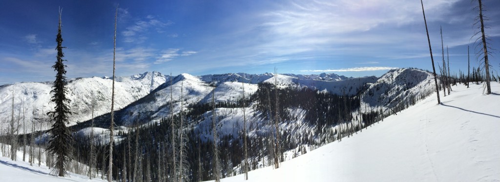
The avalanche danger is LOW at all mountain locations in west central Montana. Natural and human triggered avalanches are unlikely. Conditions are generally safe but there are many isolated places where it is possible to trigger an avalanche. Steep terrain loaded from strong east winds last weekend and heavily shaded terrain steeper than 35 degrees are places where you may find a pocket of unstable snow.
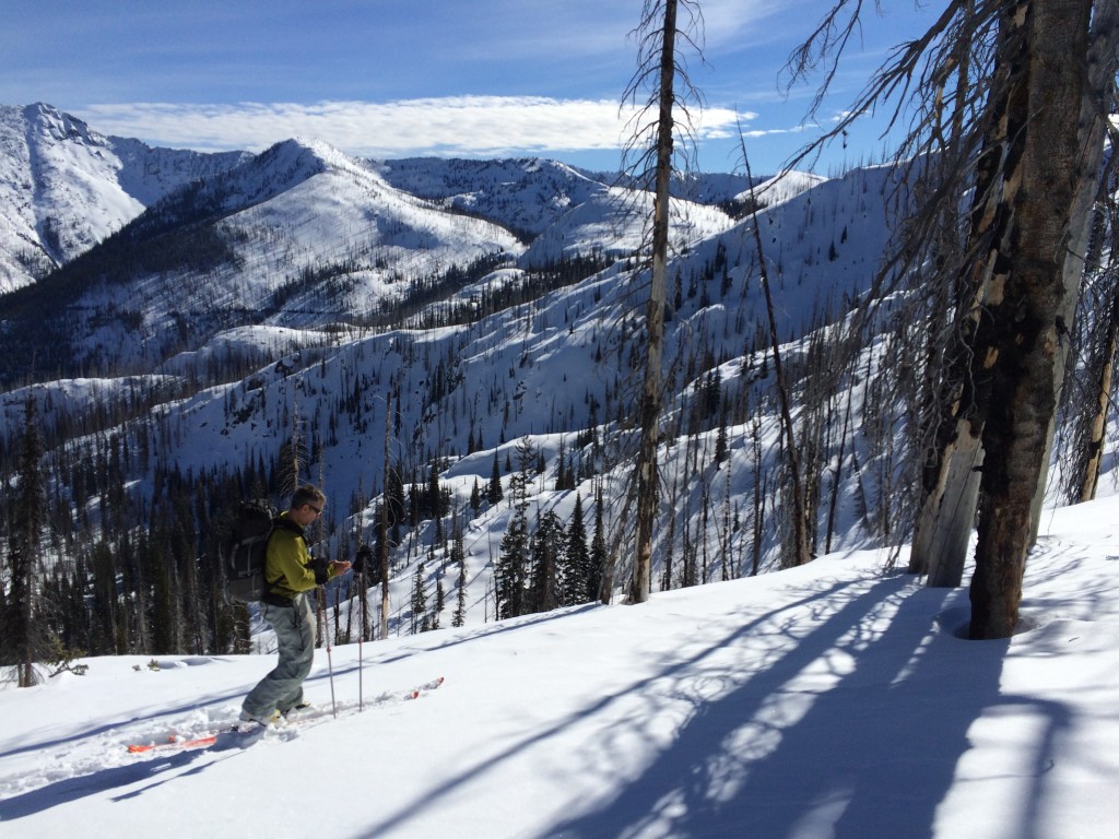
Good morning backcountry skiers and riders! This is Steve Karkanen with the West Central Montana Avalanche Center’s backcountry avalanche advisory for Tuesday February 24, 2015. This information is the responsibility of the Forest Service and does not apply to operating ski areas.
Weather and Snowpack
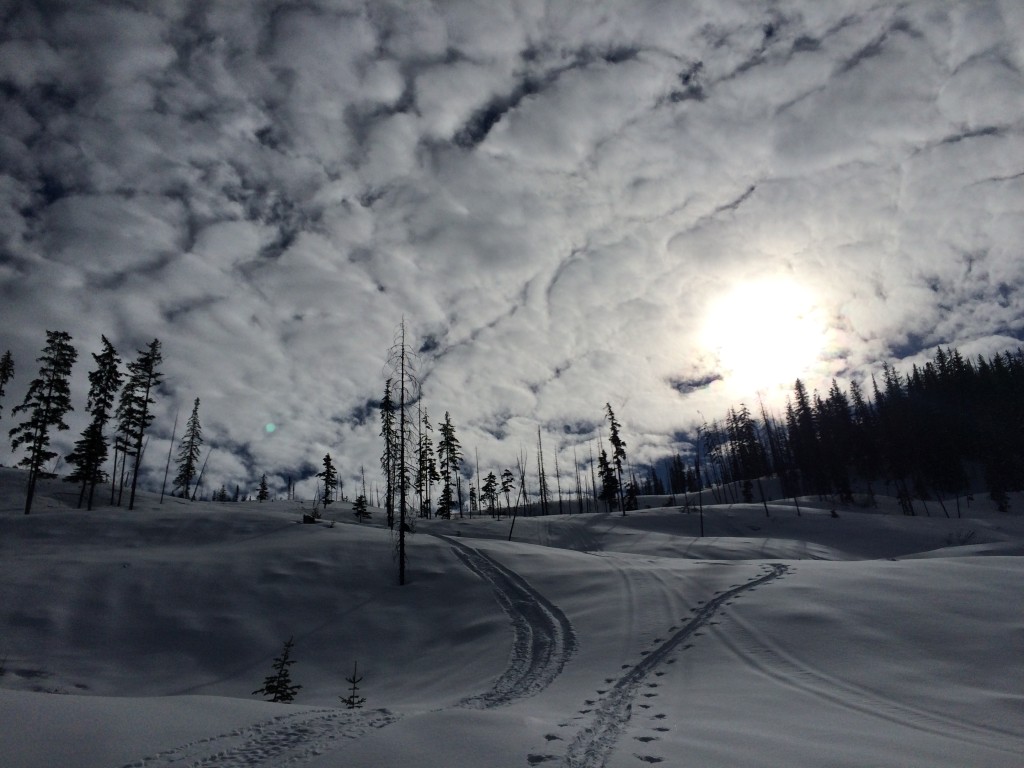
Mountain temperatures are in the teens and low twenties this morning with a 23mph W-NW wind gusting to 28mph on Point Six. There has been no precipitation the past 48 hours.
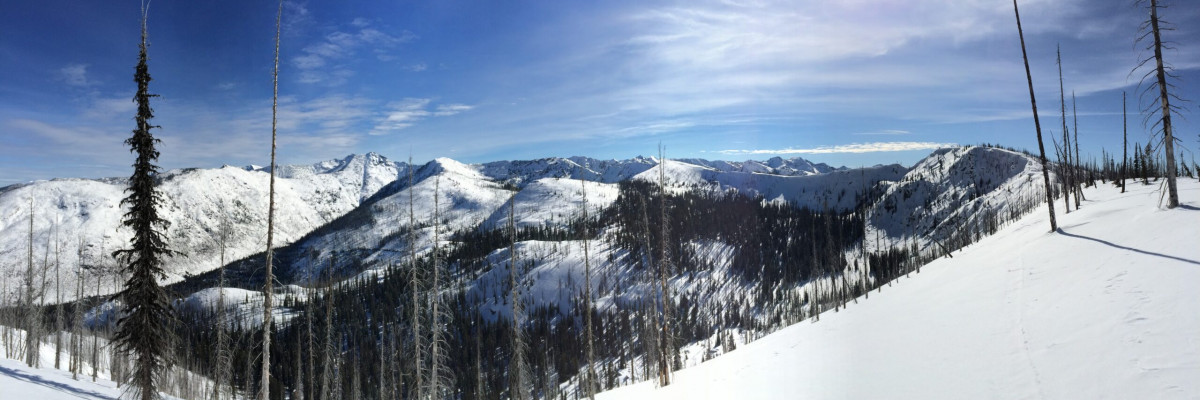
A fast moving system dropped a few inches of snow at most locations in the advisory area last weekend with the Rattlesnake, southern Missions, and southern Bitterroot picking up 10-14 inches. An east wind hammered high elevation ridges and peaks Saturday and Sunday with gusts recorded at 50mph on Point Six early Saturday. Cornices started to form on the west to southwest sides of high ridges and fresh wind slabs formed further down slope and in cross loaded areas.
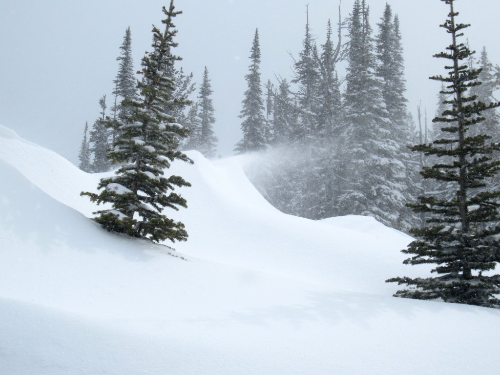
New wind slabs are the primary avalanche problem but these will be spotty and in unusual places since the areas that typically load (E-NE aspects) were scoured down to the old, and now very hard, snow surface.
Dry, loose snow or point release avalanches involving the new snow is the other avalanche problem to be aware of.
The new snow bonded to the old snow surface and is not exhibiting signs of instability. It is possible to trigger loose snow sloughs on very steep pitches (40+ degrees) but these should be manageable. When it does warm up again, this avalanche problem will morph into a wet, loose snow avalanche problem.
Weather and Avalanche Forecast
A few more days of high pressure and cold air is expected to be the main weather feature. Our atmosphere is stable now with light winds at most elevations. The wind is expected to increase by mid-week as another Arctic air mass slides down the east side of the Continental Divide spilling cooler air and some precipitation into western valleys. While not much snow is expected for west central Montana, increased wind speeds may be an issue. Stay tuned.
The avalanche danger will remain LOW until we see a significant change in temperatures, new snow or high winds.
I will issue the next regular advisory on Friday, February 27, 2015.


