Posted:
Mar 20, 2015 @ 6:45 am

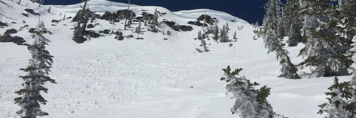
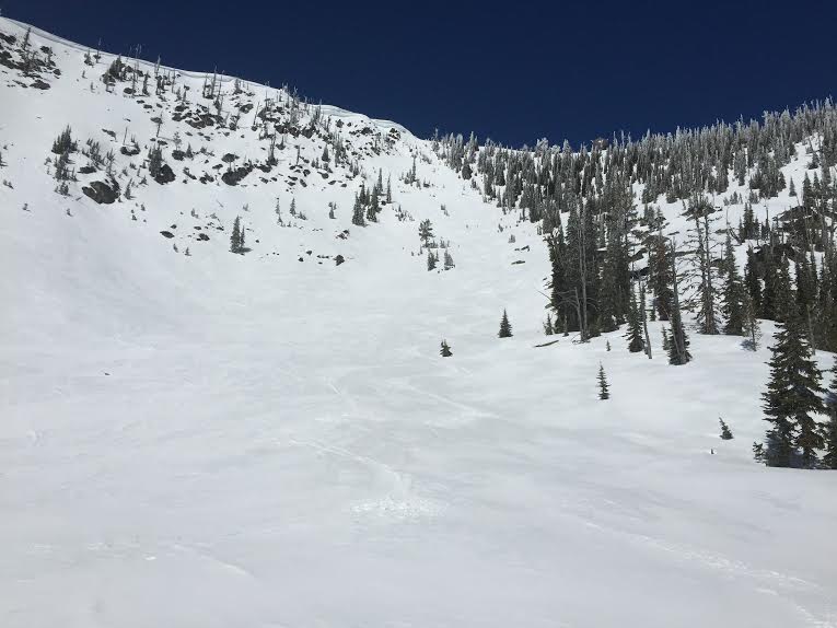
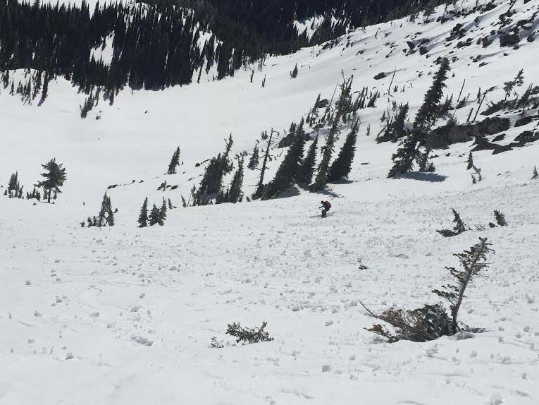
The avalanche danger is moderate for all mountain locations in west central Montana. Human triggered wet avalanches are possible as conditions warm throughout the day. Careful terrain choices and good timing are the best defenses to avoid avalanches today.

Good morning, This is Logan King with the West Central Montana Avalanche Center’s backcountry avalanche advisory for Friday March 20, 2015. This information is the responsibility of the Forest Service and does not apply to operating ski areas.

Mountain temperatures are hovering around freezing this morning with a west north west wind in the 20’s and gusting up to 30mph at Point Six. SNOTEL sites recorded no significant precipitation through the advisory area for the past 24 hours.

The forecast looks to be warm and sunny in West Central Montana and temperatures are expected to climb to nearly 60 degrees at mountain locations in the advisory area. With the warm temps the main avalanche concern today will be wet slides. Rollerballs are a great sign that the snow is warm and wet enough to slide so if you see them starting up as the day carries on consider a change in aspect and elevation. The secondary concern today will be cornice failure. Remember when these warm spring days hit that cornices can be touchy so give them a wide berth.

It is officially spring and the forecast is calling for bluebird today and thunderstorms tomorrow. Avalanche danger will increase through the afternoon today as the warm temps and sun weaken the surface of the snowpack. Looking ahead; the majority of the advisory area has already seen rain on snow events but if a significant thunderstorm rolls through as predicted on Saturday conditions can deteriorate quickly.

There will not be an advisory issued on Tuesday next week, and Dudley will issue the next and last regularly scheduled advisory on Friday.

READ FULL ADVISORY  

Problem 1 - Wet slides

  • TYPE

    loose-wet

    Loose Wet

    Release of wet unconsolidated snow or slush. These avalanches typically occur within layers of wet snow near the surface of the snowpack, but they may quickly gouge into lower snowpack layers. Like Loose-Dry Avalanches,they start at a point and entrain snow as they move downhill, forming a fan-shaped avalanche. They generally move slowly, but can contain enough mass to cause significant damage to trees, cars or buildings. Other names for loose-wet avalanches include point-release avalanches or sluffs. Loose-wet avalanches can trigger slab avalanches that break into deeper snow layers.

  • SIZE

    3-4

    1-2 (Small-Large)

    The potential size of avalanche resulting from this problem.

  • LIKELIHOOD

    Likelihood-3

    Possible

    The likelihood of an avalanche resulting from this problem.

With warm temps and lots of sun warm wet slides are the primary concern today.

Problem 2 - Weakening cornices

  • TYPE

    cornices

    Cornices / Cornice Fall

    Release of an overhanging mass of snow that forms as the wind moves snow over a sharp terrain feature, such as a ridge, and deposits snow on the down-wind side. They range from small wind lips of soft snow to large overhangs of hard snow that are 30 feet (~10 meters) or taller. They can break off the terrain suddenly and pull back onto the ridge top and catch people by surprise even on the flat ground above the slope. Even small cornices can have enough mass to be destructive and deadly. Cornice fall can entrain loose surface snow or trigger slab avalanches.

  • SIZE

    4-5

    2 (Large)

    The potential size of avalanche resulting from this problem.

  • LIKELIHOOD

    Likelihood-2

    Unlikely/Possible

    The likelihood of an avalanche resulting from this problem.

Cornices will be touchy as the mercury climbs.

Photos 3/19/2015

FORECAST & OUTLOOK

It is officially spring and the forecast is calling for bluebird today and thunderstorms tomorrow. Avalanche danger will increase through the afternoon today as the warm temps and sun weaken the top layers of the snowpack. Looking ahead; the majority of the advisory area has already seen rain on snow events but if a significant thunderstorm rolls through as predicted on Saturday conditions can deteriorate quickly.

This information is the sole responsibility of the Forest Service and does not apply to operating ski areas. The avalanche danger rating expires at midnight tonight but the information can help you make a more informed decision regarding travel in avalanche terrain for the next few days.

Our advisory area includes National Forest System lands in the Bitterroot Mountains from Lost Trail Pass north to Granite Pass, the Rattlesnake Mountains north of Missoula and the Southern Swan and Mission Mountains near Seeley Lake, MT. Avalanche information for the Lookout Pass/St. Regis Basin area is available from the Idaho Panhandle Avalanche Center.