
Hi everyone, this is Steve Karkanen at the West Central Montana Avalanche Center with early season avalanche safety information issued Wednesday, November 25, 2015.
A robust Canadian cold front passed through the area yesterday bringing snow, high winds and colder temperatures. Most SNOTEL stations report around 5 inches of new snow and single digit temperatures. The Point Six RAWS station is reporting winds in the 30’s w/ gusts to 48mph. The wind chill this morning is -25f . The area remains under a winter storm warning until 10am.
High winds the past 24 hours started out from the east but are now more westerly. We normally expect wind slabs on the lee east facing terrain but expect to see them on ANY lee slope above treeline after this recent storm. These fresh wind slabs can be touchy for a few days and are the primary avalanche problem in the higher terrain.
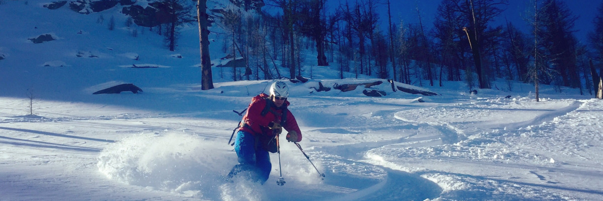
In past years there have been a number of early season close calls and fatalities in Montana involving hunters and climbers. Hunters tend to travel solo without avalanche rescue equipment as avalanches are about the last thing they are thinking of as they follow elk tracks across steep, open terrain.
If you see any of these obvious clues to dangerous snow conditions, avoid being on or under open slopes steeper than 30 degrees.
- recent avalanche activity –
- cracking or collapsing snowpack
- heavy snowfall
- high winds
- rapid increase in temperature
If you spend any amount of time in the mountains in the winter, chances are good that you will encounter avalanche terrain. Having basic awareness of terrain, weather and snow factors goes a long way toward making good decisions in avalanche terrain. To that end we are offering several basic and advanced avalanche awareness classes this winter. We also have instructors available to give your organization a range of programs from introductory to classes with a field component. Check out our course offerings here: http://www.missoulaavalanche.org/education-events/
We are also offering a Level 2 in partnership w/ the American Avalanche Institute. Details are available here. You must register w/ AAI prior to December 19. The class will be cancelled if there are not enough participants.
We plan to begin issuing regular avalanche advisories w/ the danger rating in mid-December.
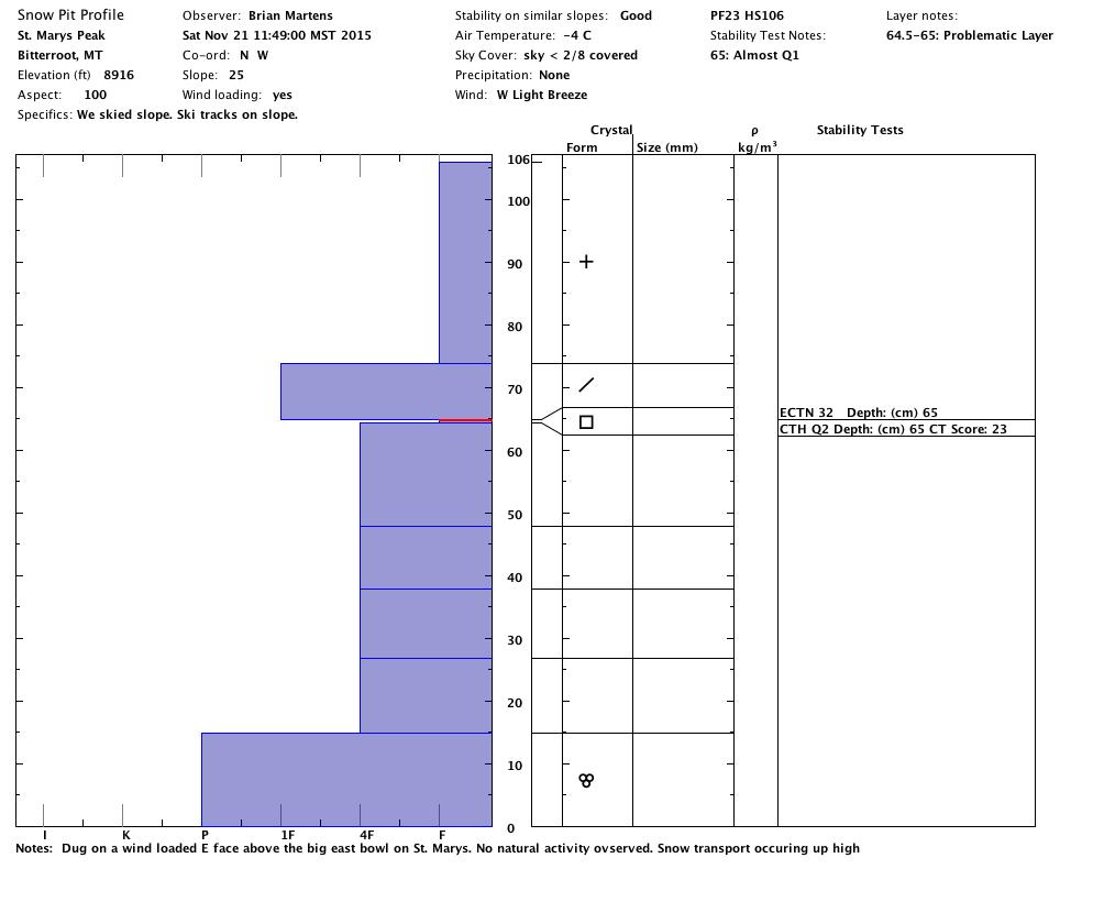
We’ve been getting some good reports and have a few posted on our public observations page. Any information you send is appreciated and helps inform the rest of the community about avalanche safety conditions. You can send a quick email to [email protected] or use the easy to use form here: http://missoulaavalanche.org/submit-an-observation/


