Posted:
Dec 22, 2015 @ 6:51 am

The avalanche danger is rated Considerable in the west central Montana backcountry above 6000 feet. Human-triggered avalanches are likely. Careful snowpack evaluation, cautious route-finding and conservative decision making are essential.

Good morning, this is Travis Craft with the West Central Montana Avalanche Center’s avalanche advisory for December 22, 2015. This danger rating does not apply to operating ski areas, expires at midnight tonight (Dec.22) and is the sole responsibility of the U.S. Forest Service.

Weather and Snowpack

Winds are currently 25 mph out of the WSW and gusting to 35 mph. Temperatures in the region are 19 to 24 degrees Fahrenheit. The advisory area is reporting varied amounts of new snow this morning, ranging from 2 inches to 8 inches from our local Snotels.

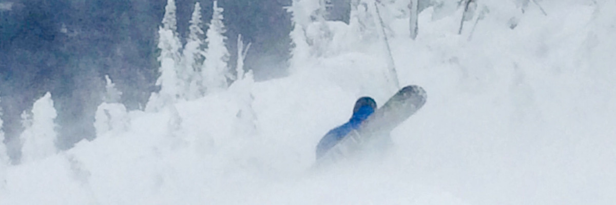
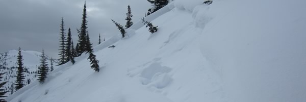
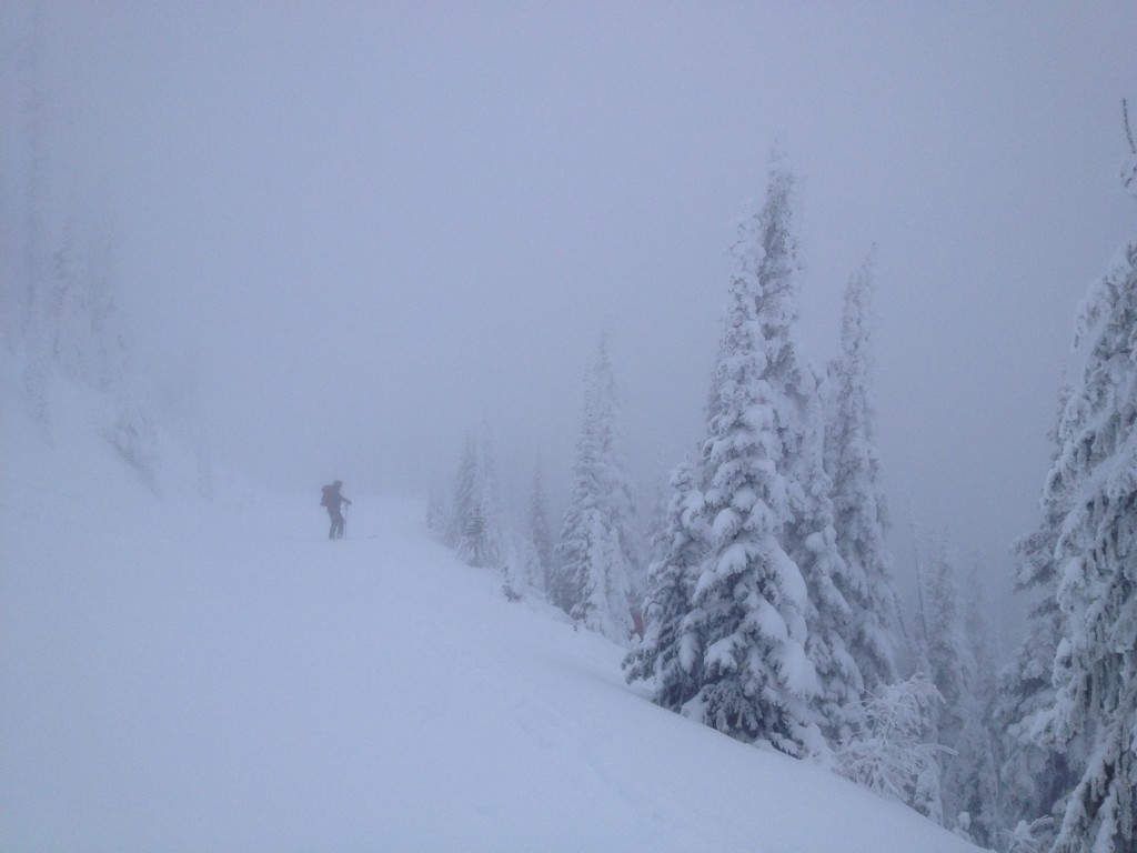
The current storm in our advisory area came in with strong winds starting around 3 pm yesterday.  The primary avalanche problem today are wind slabs that have formed and are forming on leeward terrain.  Observers noted fresh wind slabs when touring yesterday in the Rattlesnake. These slabs are now increasing in size with new snow available for transport and may be sitting on a poor snow structure (basal facets). Cautious route-finding and conservative decision making are necessary tools in traveling today.

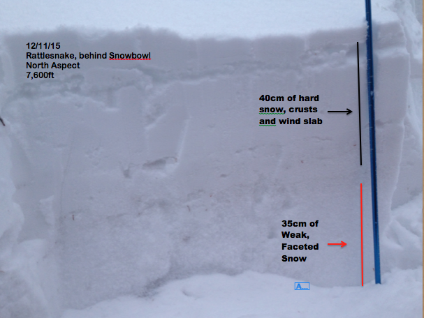
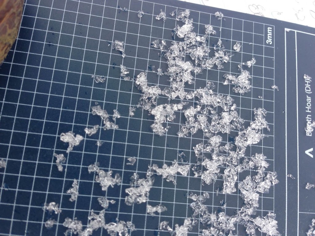
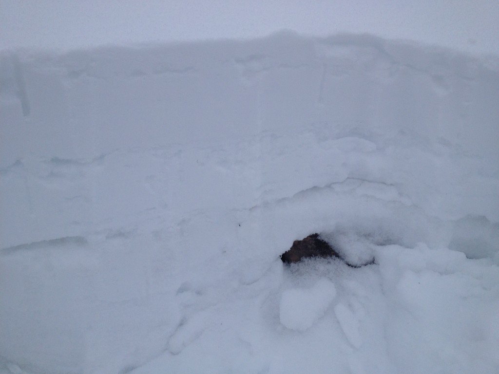
The second avalanche problem is a persistent slab that is failing on the basal facets.  These facets are rounding on some aspects, but in shallow snowpacks and colder aspects they are reactive in our stability tests. Observers reported these facets to be reactive on north aspects in the Rattlesnake and in shallow snowpacks in the Swan (obs). These facets are found throughout our area and the only way to find them is to dig into the snowpack (obs2). This slab may become more reactive with new loading.

The third concern is dry loose avalanches. These surface instabilities will be small, but could cause a problem if they take you into a terrain trap such as a gully, tree or cliff.

Avalanche and Weather Outlook

The advisory area is continuing to receive snow with totals predicted to be close to a foot in the high elevations along with strong winds through Wednesday.  With the new load and strong winds the avalanche danger will rise. New loading and strong winds are two bullseye clues that show the stability is decreasing. Also with the new loading, the persistent slab sitting on the basal facets could become more reactive.

I will issue the next advisory on Christmas Eve, December 24.  Ski and ride safe.


READ FULL ADVISORY  

Problem 1 - Wind Slabs

  • TYPE

    wind-slabs

    Wind Slabs

    Release of a cohesive layer of snow (a slab) formed by the wind.  Wind typically erodes snow from the upwind sides of terrain features and deposits snow on the downwind side.  Wind slabs are often smooth and rounded and sometimes sound hollow, and can range from soft to hard. Wind slabs that form over a persistent weak layer (surface hoar, depth hoar, or near-surface facets) may be termed Persistent Slabs or may develop into Persistent Slabs.

  • SIZE

    3-4

    1-2 (Small-Large)

    The potential size of avalanche resulting from this problem.

  • LIKELIHOOD

    Likelihood-5

    Likely

    The likelihood of an avalanche resulting from this problem.

Wind slabs have formed on leeward slopes with the strong winds accompanying the storm in the advisory area.

Problem 2 - Persitsent Slab

  • TYPE

    persistent-slabs

    Persistent Slabs

    Release of a cohesive layer of soft to hard snow (a slab) in the middle to upper snowpack, when the bond to an underlying persistent weak layer breaks.  Persistent layers include: surface hoar, depth hoar, near-surface facets, or faceted snow. Persistent weak layers can continue to produce avalanches for days, weeks or even months, making them especially dangerous and tricky. As additional snow and wind events build a thicker slab on top of the persistent weak layer, this avalanche problem may develop into a Persistent, Deep-Slab.

  • SIZE

    3-4

    1-2 (Small-Large)

    The potential size of avalanche resulting from this problem.

  • LIKELIHOOD

    Likelihood-4

    Possible/Likely

    The likelihood of an avalanche resulting from this problem.

  • ADDED DANGER

    Increased Slope Danger

    Increased/Added Danger

    There is an increased risk of avalanches on these slopes:

    N - North
    NE - Northeast
    E - East

The basal facets are reactive in certain aspects and terrain causing this persistent slab problem.  The basal facets are reactive in shallow snowpacks and on colder, shadier aspects. The only way to find these facets and see if they are reactive is to dig into the snowpack.

Problem 3 - Loose Dry

  • TYPE

    loose-dry

    Loose Dry

    Release of wet unconsolidated snow or slush. These avalanches typically occur within layers of wet snow near the surface of the snowpack, but they may quickly gouge into lower snowpack layers. Like Loose-Dry Avalanches,they start at a point and entrain snow as they move downhill, forming a fan-shaped avalanche. They generally move slowly, but can contain enough mass to cause significant damage to trees, cars or buildings. Other names for loose-wet avalanches include point-release avalanches or sluffs. Loose-wet avalanches can trigger slab avalanches that break into deeper snow layers.

  • SIZE

    2-3

    1 (Small)

    The potential size of avalanche resulting from this problem.

  • LIKELIHOOD

    Likelihood-5

    Likely

    The likelihood of an avalanche resulting from this problem.

Loose dry avalanches are likely with the new snow. These are small but can be a problem if they take you into terrain traps such as trees, cliffs and gullies.

FORECAST & OUTLOOK

Up to a foot of new snow is credited in the higher elevations through Wednesday along with strong winds. These two factors should increase the avalanche danger.

This information is the sole responsibility of the Forest Service and does not apply to operating ski areas. The avalanche danger rating expires at midnight tonight but the information can help you make a more informed decision regarding travel in avalanche terrain for the next few days.

Our advisory area includes National Forest System lands in the Bitterroot Mountains from Lost Trail Pass north to Granite Pass, the Rattlesnake Mountains north of Missoula and the Southern Swan and Mission Mountains near Seeley Lake, MT. Avalanche information for the Lookout Pass/St. Regis Basin area is available from the Idaho Panhandle Avalanche Center.