
The current avalanche danger is MODERATE in the West Central Montana Backcountry. Natural avalanches are unlikely, human triggered avalanches are possible. Heightened avalanche conditions may exist in isolated terrain, specifically cold, shaded, or shallow areas.
Good morning this is Logan King with the West Central Montana Avalanche Center’s backcountry avalanche advisory for Saturday, January 2nd. This information is the responsibility of the Forest Service and does not apply to operating ski areas and expires at midnight.
WEATHER AND SNOWPACK
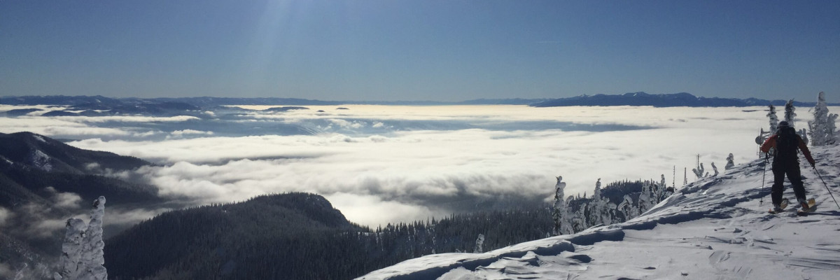
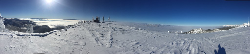
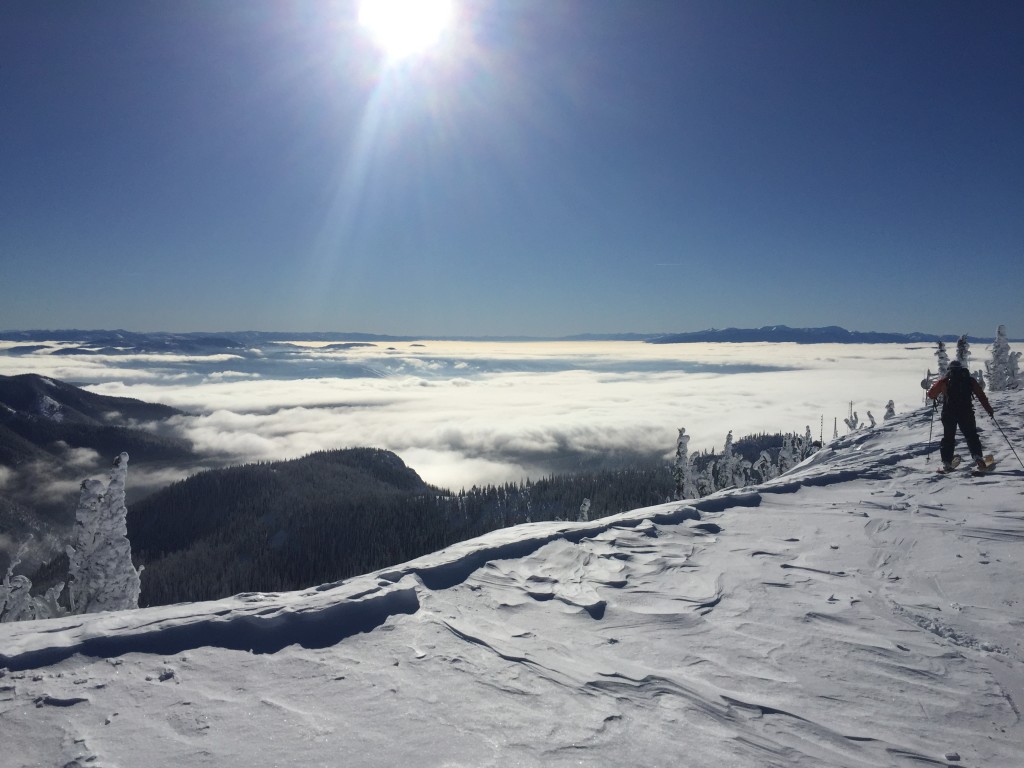
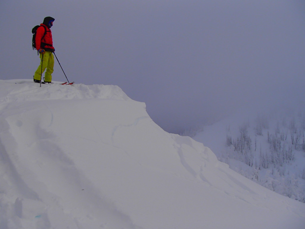
High pressure continues to dominate the region and a strong inversion will be setting up today and persisting through the weekend. Current temperatures for mountain locations in West Central Montana are in the teens and 20’s and ridge top winds are 23mph gusting to 30mph. The main avalanche concern are persistent weak layers of facets. The facets are in isolated areas and are most reactive on cold shaded aspects or areas where the snowpack is thin.
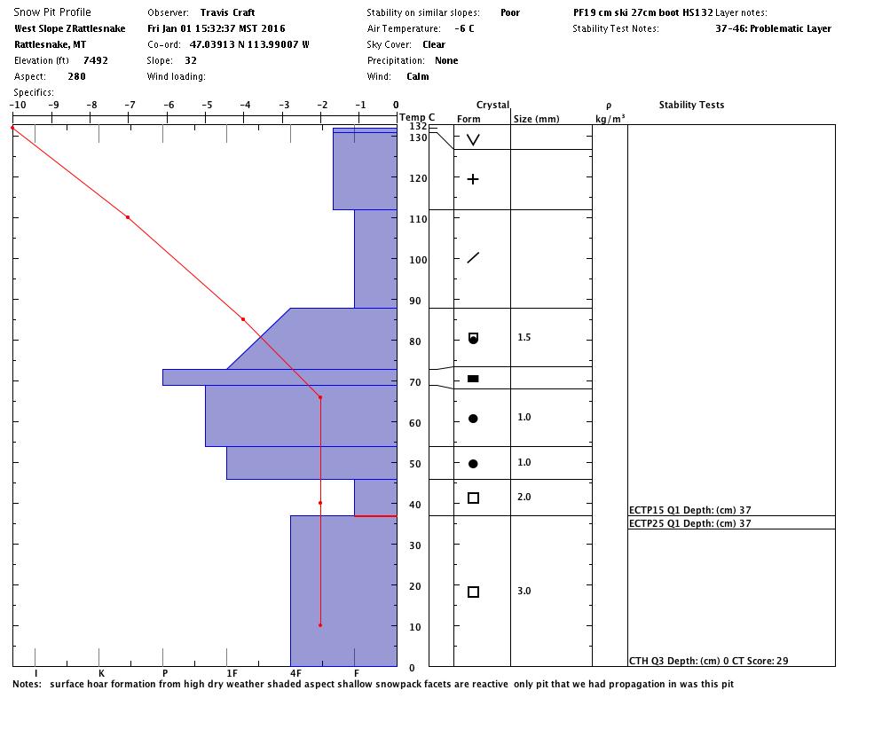
We observed propagation on the basal facets in a pit on a cold shaded aspect yesterday (video) (profile). You have to dig to locate the facets and determine how reactive they are, but remember a pit can only tells us if the snow is unstable, never use pit results to determine that a slope is “stable”. The only pit result that should affect your decision is an unstable result.
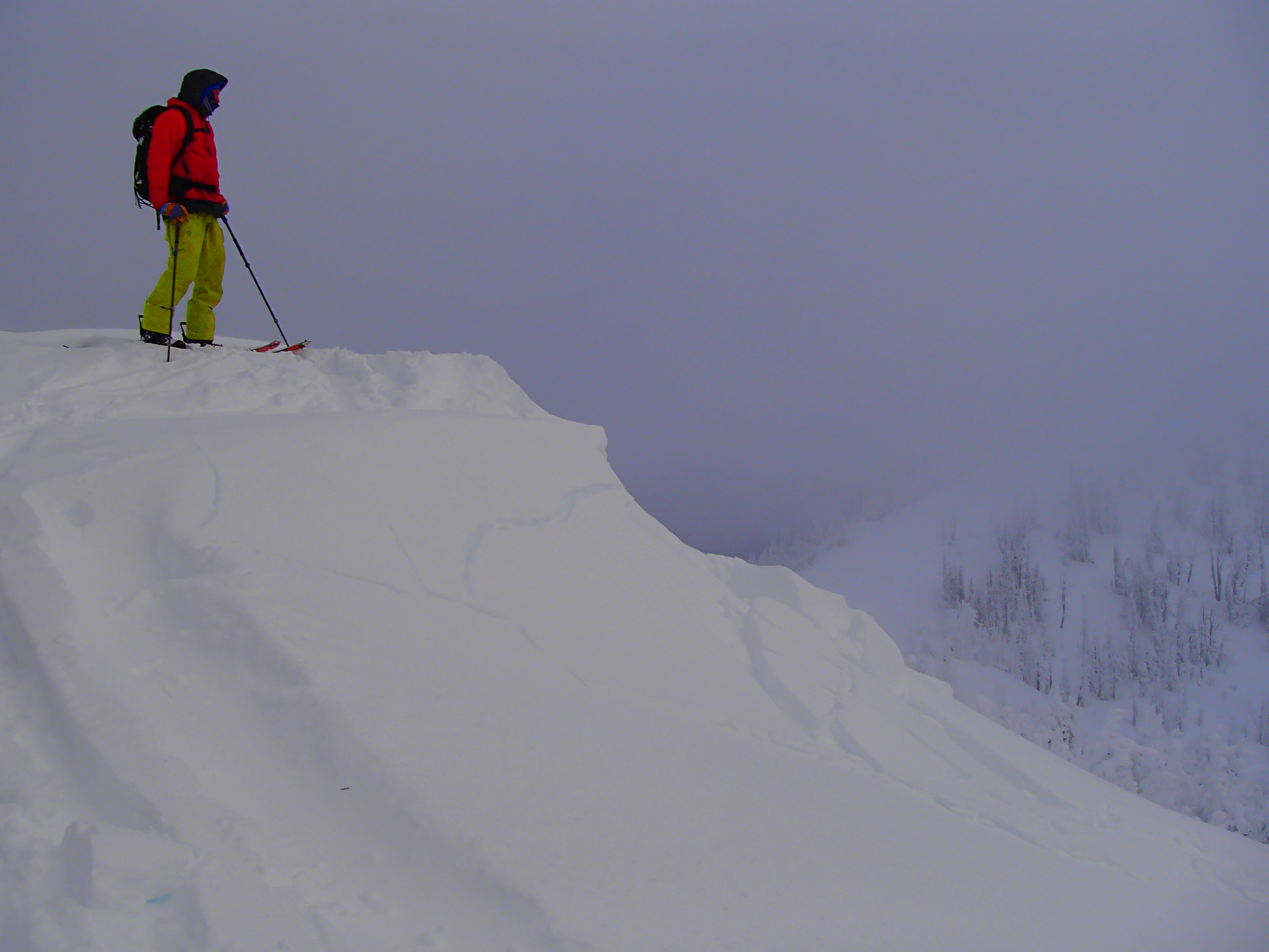
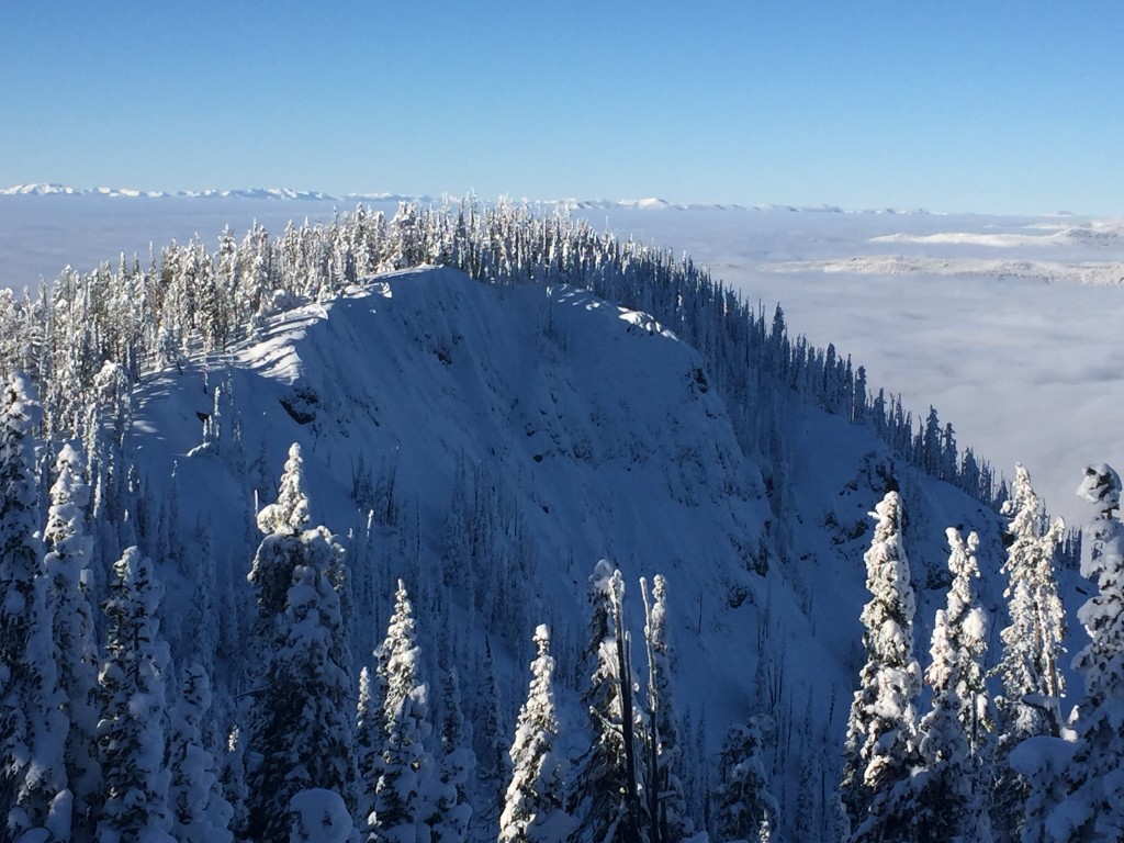
The secondary avalanche concern are windslabs, again this is a localized problem on lee terrain. Reports from the Seeley Lake area yesterday showed that recent winds over the last few days have added to the slab and the wind slabs are still reactive (pic).
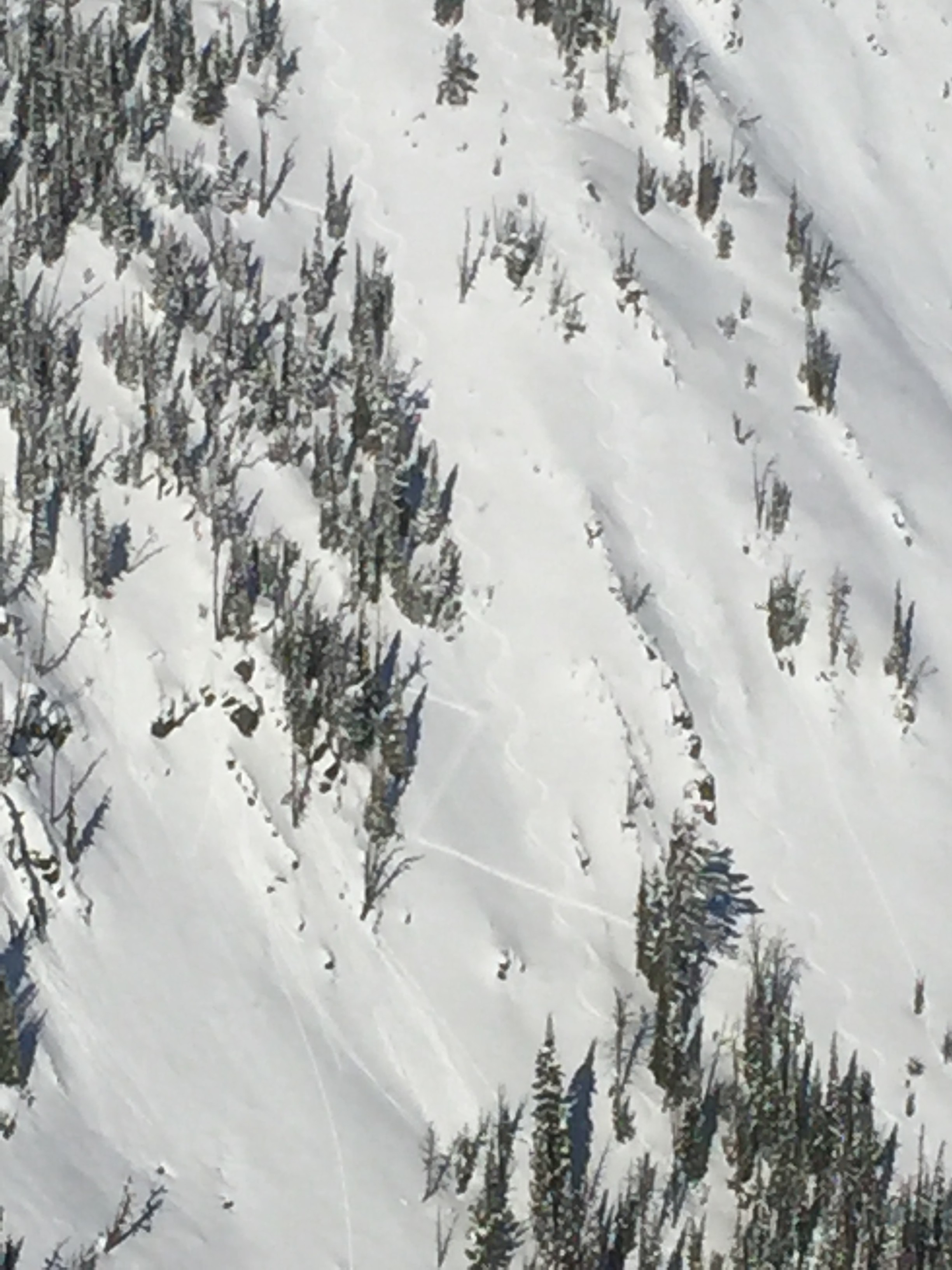
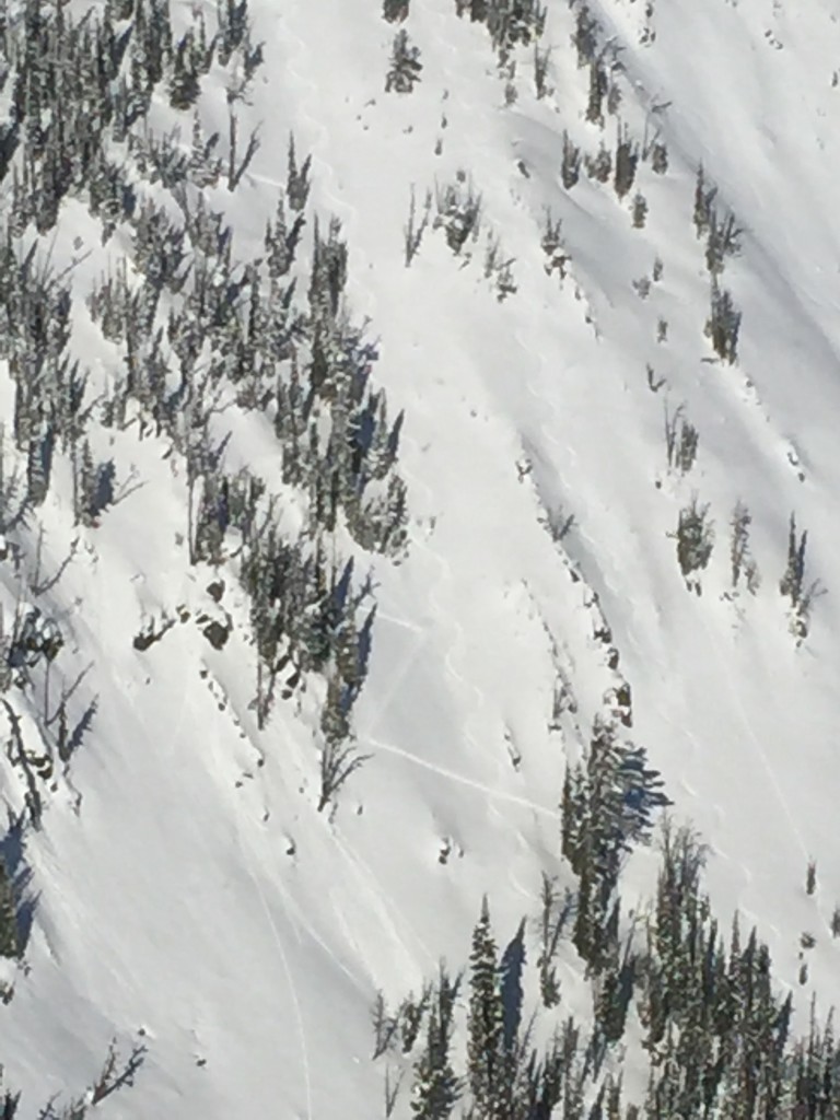
Lastly if you are above the clouds, day time temperatures are mild and solar radiation is intense, creating the potential for loose wet slab cycles in the afternoon. In the Rattlesnake yesterday one small loose natural slide (pic) was observed in the afternoon and rollerballs were also seen later in the day. Be aware of conditions as they change throughout the day, and adjust travel plans accordingly.
WEATHER AND AVALANCHE FORECAST
With the current high pressure system the likely hood of any new snow in the next few days is minimal. The inversion will cause cold clear nights and calm bluebird days at high elevations. Surface hoar and near surface facets will likely develop over the next few days but the distribution will be dependent on cloud layer levels. The new surface hoar and near surface facets may become a problem as they get buried in the snowpack once snow returns to the advisory area.
Travis will issue the next advisory on Tuesday, January 5th.


