Posted:
Jan 9, 2016 @ 6:43 am

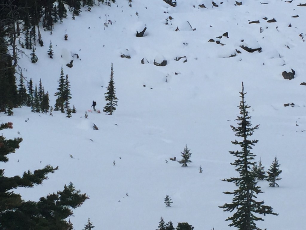
The current avalanche danger for the West Central Montana Backcountry is LOW. Avalanches can still occur in isolated areas.

Good morning this is Logan King with the West Central Montana Avalanche Center’s backcountry avalanche advisory for Saturday, January 9th. This information is the responsibility of the Forest Service and does not apply to operating ski areas and expires at midnight.


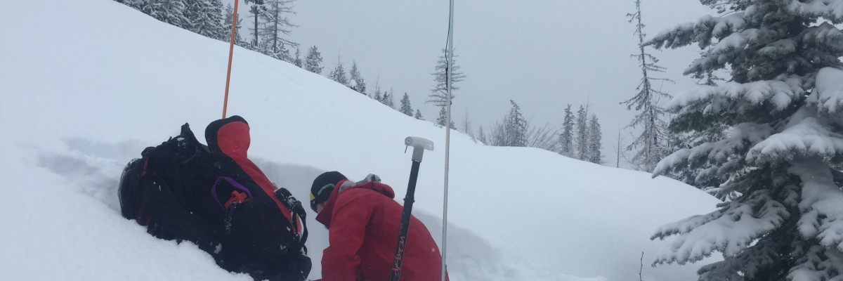
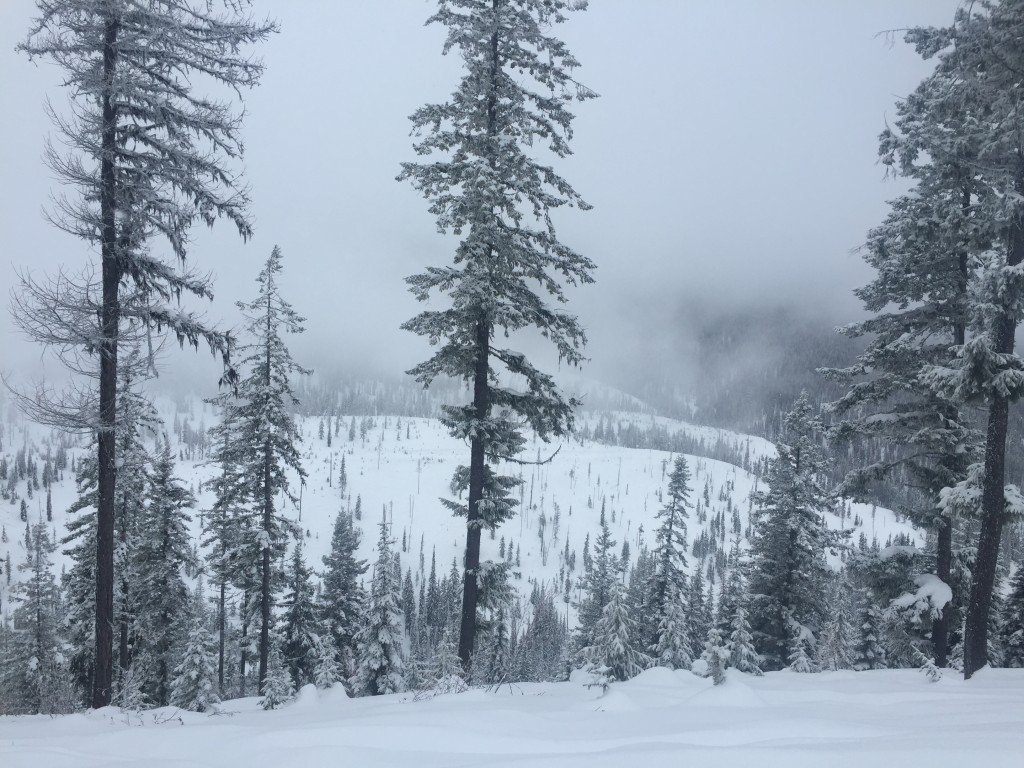
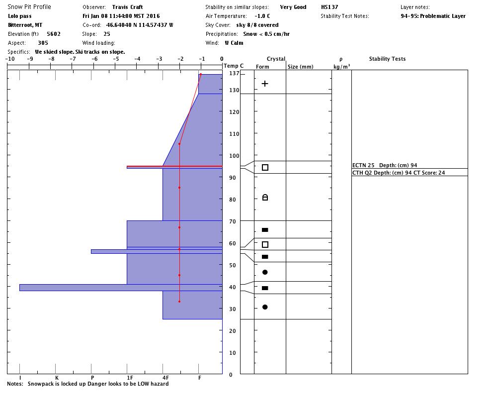
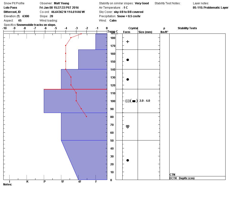
WEATHER AND SNOWPACK

Light snow was seen throughout the region yesterday and last night, snow accumulations were minimal and ranged from 1-3 inches across the advisory area. Mountain temperatures are averaging about 20 degrees this morning and ridge top winds are currently 17mph gusting to 22mph out of the WNW at Point Six.

The main avalanche concern continues to be persistent week layers of basal facets and some isolated pockets of surface hoar and near surface facets. The facets are continuing to shift towards rounds but may become reactive under a new load or where the facets can be triggered more easily such as shallow or rocky areas. The facets are not very widespread so keep a close eye out for the areas where the facets may be lingering.

Loose snow avalanches are the secondary concern. The loose snow avalanches will not be widespread but more likely localized to steeper terrain and areas where the new snow is falling on a hard surface like a crust. Avoid terrain traps if you suspect a slope may be susceptible to loose snow slides.

Keep in mind that there is always a possibility for an avalanche if you are in avalanche terrain. A low avalanche danger doesn’t mean no avalanche danger. Avalanches are unlikely but can still occur in isolated terrain.


WEATHER AND AVALANCHE FORECAST

Light intermittent flurries will continue through tonight and into Sunday. Avalanche conditions will likely remain the same through the day but may increase if any of the localized flurries produce a significant new load.

The next advisory will be issued on Tuesday January 12th.

READ FULL ADVISORY  

Problem 1 - Persistent Slabs

  • TYPE

    persistent-slabs

    Persistent Slabs

    Release of a cohesive layer of soft to hard snow (a slab) in the middle to upper snowpack, when the bond to an underlying persistent weak layer breaks.  Persistent layers include: surface hoar, depth hoar, near-surface facets, or faceted snow. Persistent weak layers can continue to produce avalanches for days, weeks or even months, making them especially dangerous and tricky. As additional snow and wind events build a thicker slab on top of the persistent weak layer, this avalanche problem may develop into a Persistent, Deep-Slab.

  • SIZE

    3-4

    1-2 (Small-Large)

    The potential size of avalanche resulting from this problem.

  • LIKELIHOOD

    Likelihood-1

    Unlikely

    The likelihood of an avalanche resulting from this problem.

Facets in one form or another have been seen in all areas of West Central Montana, they are currently not very reactive and are isolated to specific terrain.

Problem 2 - Loose Snow

  • TYPE

    loose-dry

    Loose Dry

    Release of wet unconsolidated snow or slush. These avalanches typically occur within layers of wet snow near the surface of the snowpack, but they may quickly gouge into lower snowpack layers. Like Loose-Dry Avalanches,they start at a point and entrain snow as they move downhill, forming a fan-shaped avalanche. They generally move slowly, but can contain enough mass to cause significant damage to trees, cars or buildings. Other names for loose-wet avalanches include point-release avalanches or sluffs. Loose-wet avalanches can trigger slab avalanches that break into deeper snow layers.

  • SIZE

    1-2

    < 1 (Small)

    The potential size of avalanche resulting from this problem.

  • LIKELIHOOD

    Likelihood-2

    Unlikely/Possible

    The likelihood of an avalanche resulting from this problem.

Loose snow avalanches are possible in very steep terrain or where the new snow has not yet bonded with the snow surface.

FORECAST & OUTLOOK

Light snow will likely be seen off and on through tonight.

This information is the sole responsibility of the Forest Service and does not apply to operating ski areas. The avalanche danger rating expires at midnight tonight but the information can help you make a more informed decision regarding travel in avalanche terrain for the next few days.

Our advisory area includes National Forest System lands in the Bitterroot Mountains from Lost Trail Pass north to Granite Pass, the Rattlesnake Mountains north of Missoula and the Southern Swan and Mission Mountains near Seeley Lake, MT. Avalanche information for the Lookout Pass/St. Regis Basin area is available from the Idaho Panhandle Avalanche Center.