Posted:
Jan 19, 2016 @ 6:14 am

The current avalanche danger for the West Central Montana Backcountry is Moderate. Human triggered avalanches are possible in specific terrain. Leeward terrain will be most susceptible to avalanche activity.

Good morning this is Logan King with the West Central Montana Avalanche Center’s backcountry avalanche advisory for Tuesday, January 19th. This information is the responsibility of the Forest Service and does not apply to operating ski areas and expires at midnight.


WEATHER AND SNOWPACK

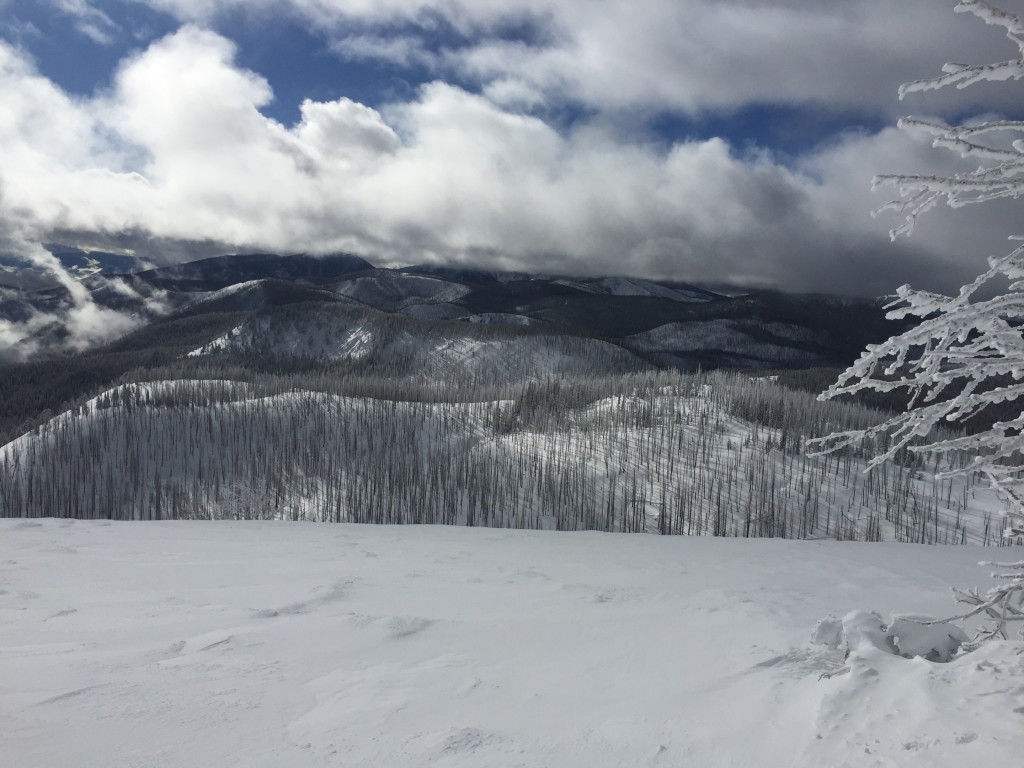
The start of the weekend favored the northern half of the advisory area while the tail end of the weekend and MLK day were favorable to the southern part of the advisory area but precipitation has tapered off through the advisory area. A trace to 1 inch of new snow was seen over night and currently, ridge top winds are 8mph and gusting to 15mph out of the SSW. Temperatures continue to be mild for West Central Montana and are in the low twenties this morning.

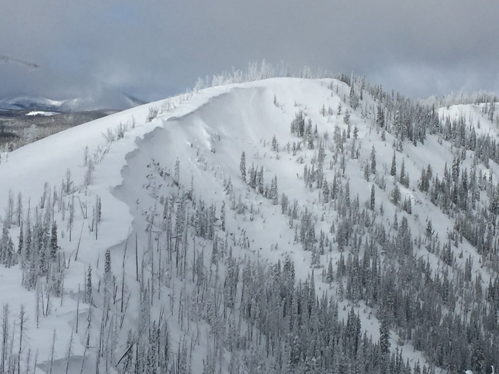
The primary avalanche concern are soft wind slabs. Even though we saw strong winds during the storm cycle the snow was dense enough to limit transport. The wind slabs were not as beefy as expected and have had a few days to settle out and are beginning to bond to the older snow surface. However, they can still be triggered in specific terrain, particularly in the northern part of the advisory area. Keep in mind the new snow was heavy and did not transport as readily as expected so these slabs may appear to be storm slabs or more likely as unusually soft wind slabs.

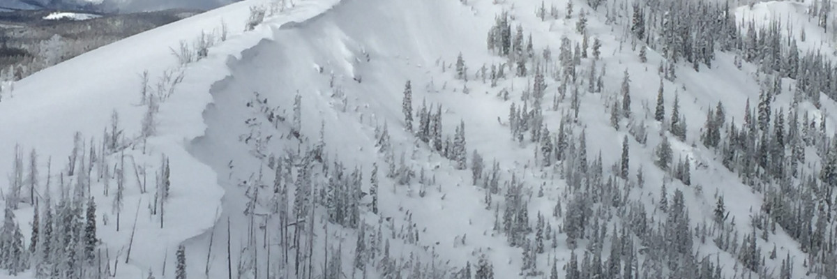
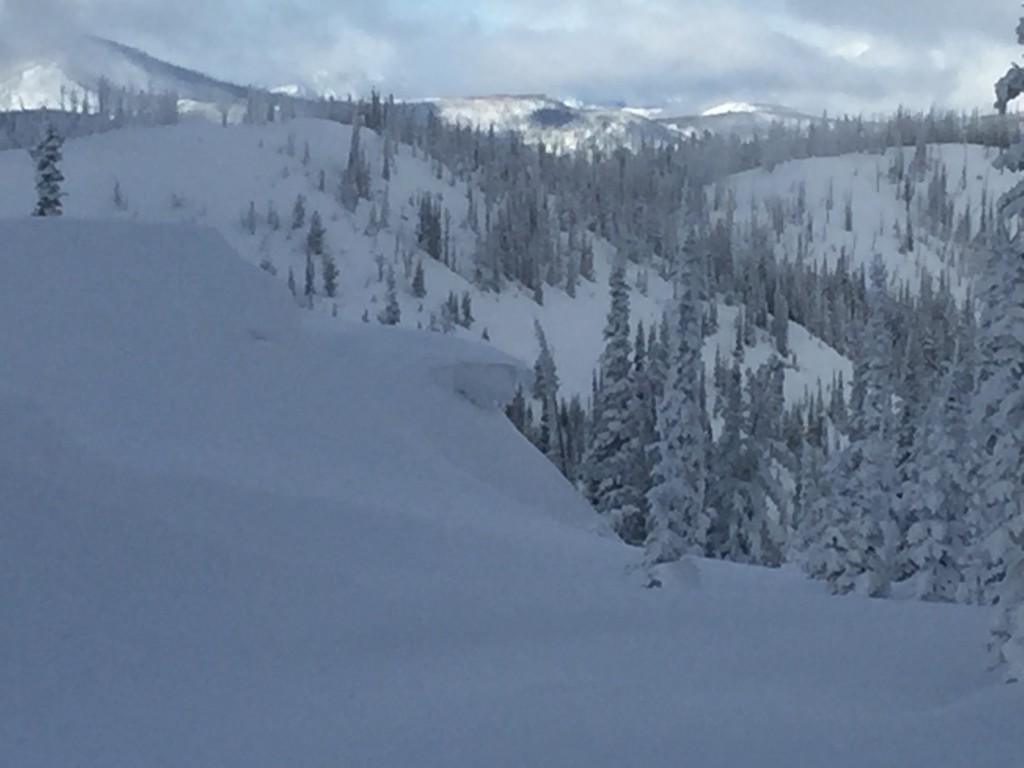
Loose snow avalanches are the secondary concern. We observed a few small loose slides near Lost Trail Pass on south facing terrain yesterday as temperatures and solar radiation increased. These were small slides but even small slides can be dangerous in high consequence terrain.

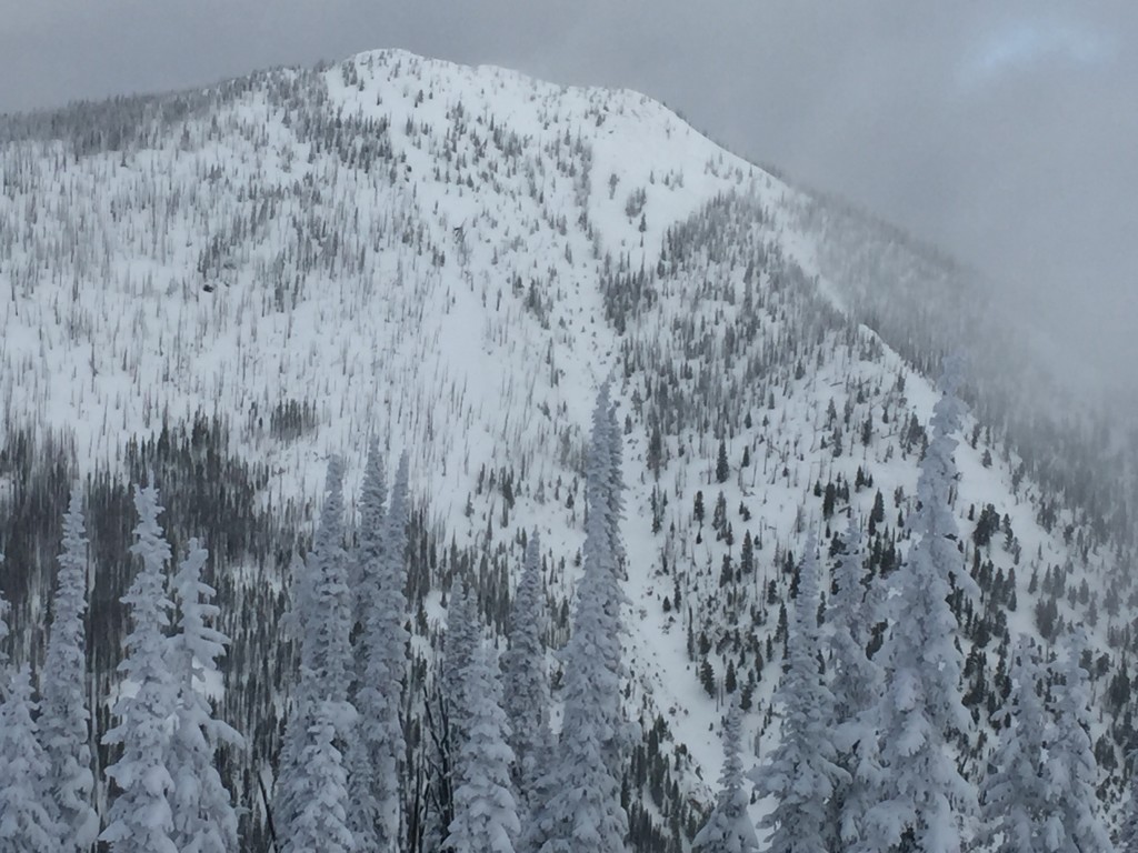
Keep in mind that the snowpack varies greatly from North to South and careful assessment of terrain and current conditions are paramount to safely travel and recreate in the backcountry.


WEATHER AND AVALANCHE FORECAST

The forecast suggest little to no accumulation today but another moist and warm system to move in tonight. Snow levels will again be nearly 4,000 ft but currently we are looking at approximately 5-10 inches of heavier snow in the mountains. A significant new load will require time to settle and for the snowpack to adjust. Avalanche conditions should remain the same through today but will be increasing tonight as snow begins to accumulate again.

Of note is the likelihood of another warm wet system moving in before the weekend. Current models suggest another significant wet and heavy load or perhaps even a rain on snow event up to the mid elevations. Keep a watchful eye as this materializes and how it affects the snowpack.

I will issue the next advisory on Thursday, January 21st.

READ FULL ADVISORY  

Problem 1 - Soft Wind Slabs

  • TYPE

    wind-slabs

    Wind Slabs

    Release of a cohesive layer of snow (a slab) formed by the wind.  Wind typically erodes snow from the upwind sides of terrain features and deposits snow on the downwind side.  Wind slabs are often smooth and rounded and sometimes sound hollow, and can range from soft to hard. Wind slabs that form over a persistent weak layer (surface hoar, depth hoar, or near-surface facets) may be termed Persistent Slabs or may develop into Persistent Slabs.

  • SIZE

    3-4

    1-2 (Small-Large)

    The potential size of avalanche resulting from this problem.

  • LIKELIHOOD

    Likelihood-3

    Possible

    The likelihood of an avalanche resulting from this problem.

Distribution of the wind slabs varies greatly on the Macro and Micro scale. The winds were strong but snow was dense which also led to deceivingly soft wind slabs. Hard wind slabs may still be found in extremely isolated terrain. All wind affected areas will require careful analysis and terrain considerations.

Problem 2 - Loose Snow

  • TYPE

    loose-wet

    Loose Wet

    Release of wet unconsolidated snow or slush. These avalanches typically occur within layers of wet snow near the surface of the snowpack, but they may quickly gouge into lower snowpack layers. Like Loose-Dry Avalanches,they start at a point and entrain snow as they move downhill, forming a fan-shaped avalanche. They generally move slowly, but can contain enough mass to cause significant damage to trees, cars or buildings. Other names for loose-wet avalanches include point-release avalanches or sluffs. Loose-wet avalanches can trigger slab avalanches that break into deeper snow layers.

  • SIZE

    1-2

    < 1 (Small)

    The potential size of avalanche resulting from this problem.

  • LIKELIHOOD

    Likelihood-3

    Possible

    The likelihood of an avalanche resulting from this problem.

  • ADDED DANGER

    Increased Slope Danger

    Increased/Added Danger

    There is an increased risk of avalanches on these slopes:

    SE - Southeast
    S - South
    SW - Southwest

A few small wet point releases were observed yesterday near Lost Trail pass, specifically on south facing aspects.

FORECAST & OUTLOOK

The forecast suggest little to no accumulation today but another moist and warm system to move in tonight. Snow levels will again be nearly 4,000 ft but currently we are looking at approximately 5-10 inches of heavier snow at higher elevations. 

Of note is the likelihood of another warm wet system moving in before the weekend. Current models suggest another significant wet and heavy load or perhaps even a rain on snow event up to the mid elevations. Keep a watchful eye as this materializes and how it affects the snowpack.

This information is the sole responsibility of the Forest Service and does not apply to operating ski areas. The avalanche danger rating expires at midnight tonight but the information can help you make a more informed decision regarding travel in avalanche terrain for the next few days.

Our advisory area includes National Forest System lands in the Bitterroot Mountains from Lost Trail Pass north to Granite Pass, the Rattlesnake Mountains north of Missoula and the Southern Swan and Mission Mountains near Seeley Lake, MT. Avalanche information for the Lookout Pass/St. Regis Basin area is available from the Idaho Panhandle Avalanche Center.