Posted:
Feb 2, 2016 @ 6:48 am

Good morning and happy groundhog day, this is Logan King with the West Central Montana Avalanche Center’s avalanche advisory for Tuesday, February 2nd 2016.  The current avalanche danger is CONSIDERABLE for the northern part of the west central Montana backcountry. Human triggered avalanches are likely, and natural avalanches are possible.  The southern portion of the advisory area received less snow over the past few days and has a MODERATE avalanche danger.

Weather and Snowpack

Temperatures have dropped at mountain locations and are currently in the upper teens with light winds out of the south west. Snow bands have brought significant snow to the northern end of the advisory area and over the past 24 hours, nearly a foot of snow has accumulated. The new snow was lower density than we have seen for a while and only totaled approximately .9 inches of SWE. Overnight most locations saw an additional 1-3 inches of snow. 

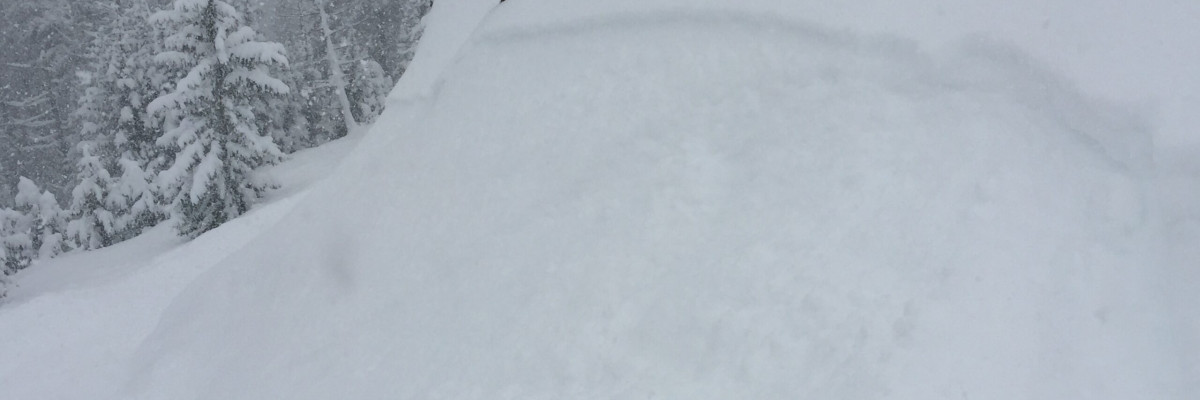
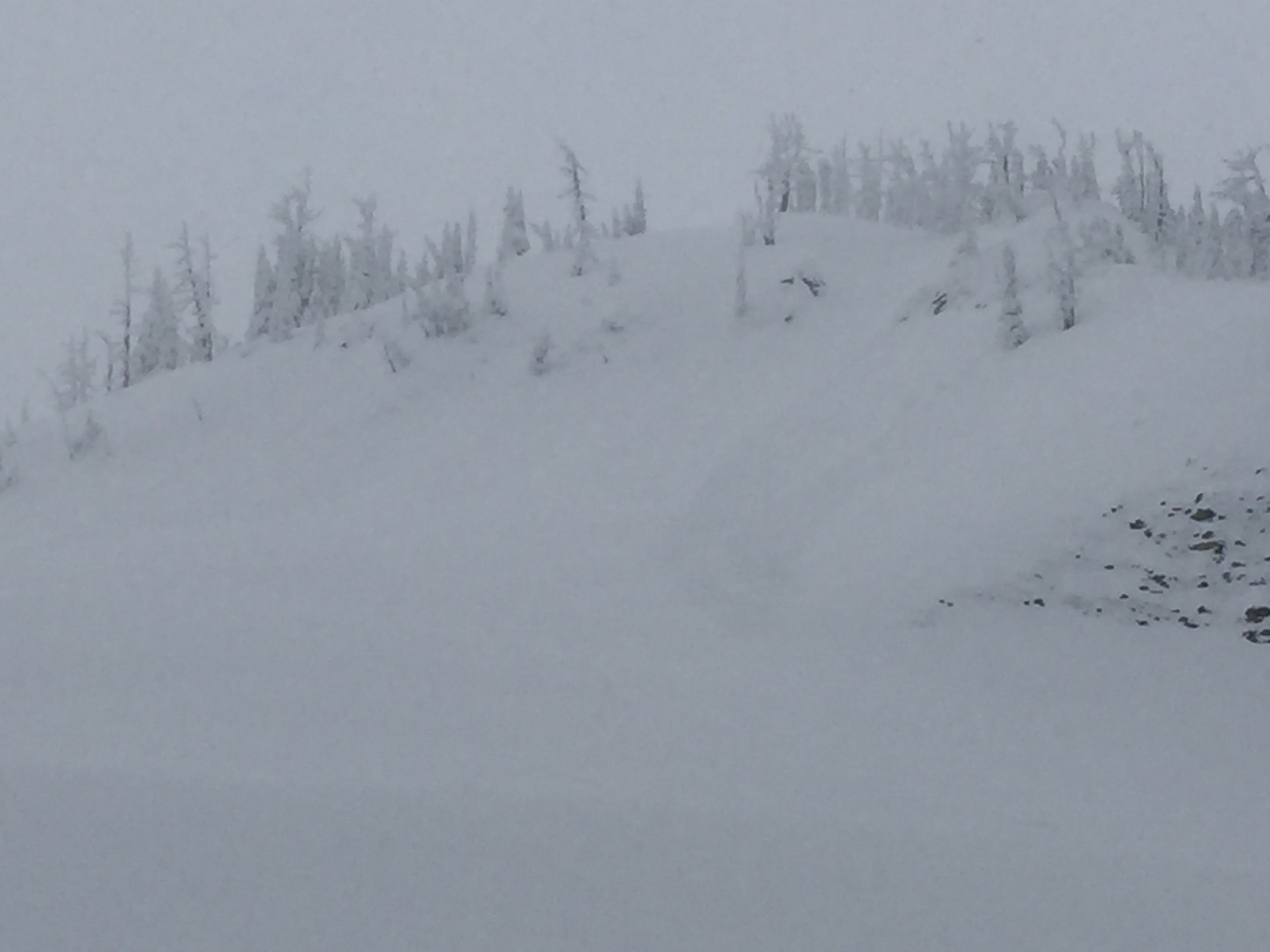
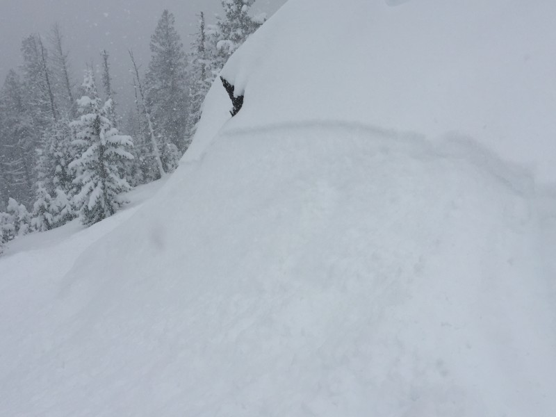
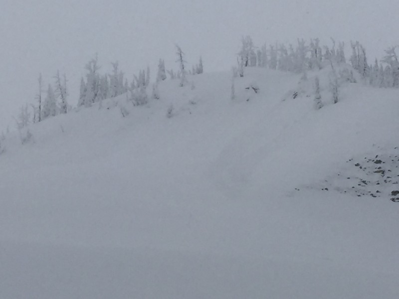
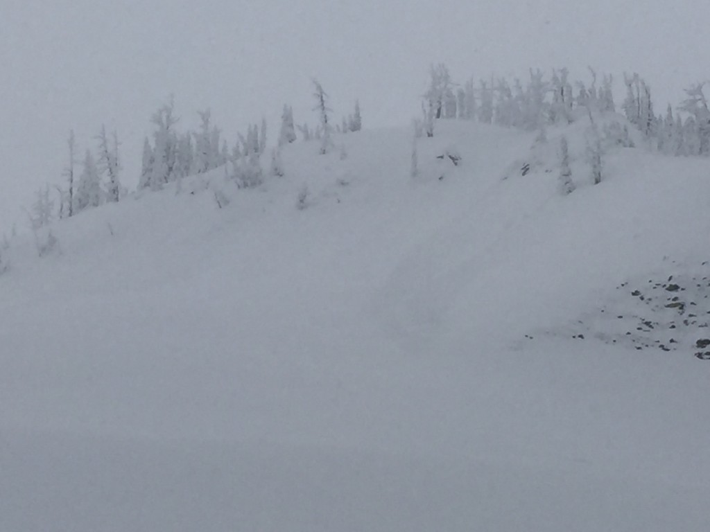
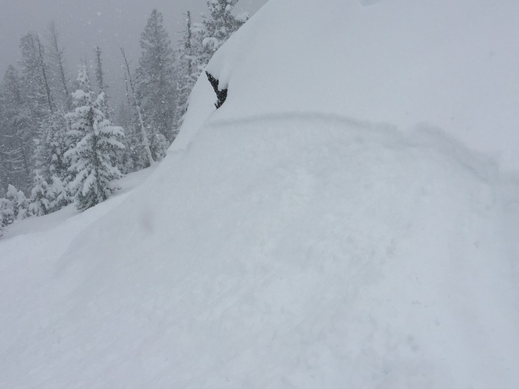
We toured in the Rattlesnake yesterday and found a significant amount of new low density snow and snow fall rates of about an inch an hour persisted through the day. As the snow piled up it started to become more reactive and we saw a few natural loose slides (pic1) and found the new snow was beginning to react to human triggers later in the afternoon (pic2). At lower elevations and southern aspects, where the new snow was falling on a rain crust was where storm slabs were observed to be most reactive. Storm slabs will be the primary concern today and will be widespread, they will be especially touchy at mid-low elevations and on southern aspects or anywhere else where the storm slab is sitting on a crust.

Loose snow avalanches will be another significant concern today. There is a lot of new snow out there and some of the small “sluffs” we observed were able to entrain a significant amount of snow and moved very quick. Terrain management will be critical today, loose snow slides are likely so be aware of terrain traps and potential consequences of getting caught in a loose snow avalanche.

The storm slab and loose snow problems are focused around the Rattlesnake and Southern Missions. Persistent slabs are still out there and will be a concern everywhere in the advisory area. Persistent slabs have become less reactive as of late but still warrant attention. The only way to know where the persistent slabs are and if they are reactive is to dig. The avalanche danger for the Swan and Bitterroot ranges is MODERATE

Weather and Avalanche Outlook

Snow is expected to continue through the afternoon with the possibly of localized heavy snow if banding develops again today. However, snow totals will not be as significant as the past couple of days. Any significant new load will rapidly increase the avalanche danger.

Lets hope Phil sees his shadow today. Travis will issue the next advisory on Thursday, February 4th. This danger rating does not apply to operating ski areas, expires at midnight tonight and is the sole responsibility of the U.S. Forest Service.

READ FULL ADVISORY  

Problem 1 - Storm Slabs

  • TYPE

    storm-slabs

    Storm Slabs

    Release of a soft cohesive layer (a slab) of new snow which breaks within the storm snow or on the old snow surface. Storm-slab problems typically last between a few hours and few days. Storm-slabs that form over a persistent weak layer (surface hoar, depth hoar, or near-surface facets) may be termed Persistent Slabs or may develop into Persistent Slabs.

  • SIZE

    3-4

    1-2 (Small-Large)

    The potential size of avalanche resulting from this problem.

  • LIKELIHOOD

    Likelihood-5

    Likely

    The likelihood of an avalanche resulting from this problem.

  • IMAGE

The storm slabs will present as soft slabs and will mainly be in the Rattlesnake and southern Missions. The new snow was lower density and will start to slab up as it settles. In areas where settling occurs and slabs start to take shape human triggered avalanches will be likely. The new snow is also very reactive at mid-low elevations where it is moving on a bed surface of a solid crust.

Problem 2 - Loose Avalanches

  • TYPE

    loose-dry

    Loose Dry

    Release of wet unconsolidated snow or slush. These avalanches typically occur within layers of wet snow near the surface of the snowpack, but they may quickly gouge into lower snowpack layers. Like Loose-Dry Avalanches,they start at a point and entrain snow as they move downhill, forming a fan-shaped avalanche. They generally move slowly, but can contain enough mass to cause significant damage to trees, cars or buildings. Other names for loose-wet avalanches include point-release avalanches or sluffs. Loose-wet avalanches can trigger slab avalanches that break into deeper snow layers.

  • SIZE

    2-3

    1 (Small)

    The potential size of avalanche resulting from this problem.

  • LIKELIHOOD

    Likelihood-7

    Very Likely

    The likelihood of an avalanche resulting from this problem.

  • IMAGE

Lots of new low density snow will result in widespread loose snow avalanches focused in the Rattlesnake and and Southern Missions.

Problem 3 - Persistent Slabs

  • TYPE

    persistent-slabs

    Persistent Slabs

    Release of a cohesive layer of soft to hard snow (a slab) in the middle to upper snowpack, when the bond to an underlying persistent weak layer breaks.  Persistent layers include: surface hoar, depth hoar, near-surface facets, or faceted snow. Persistent weak layers can continue to produce avalanches for days, weeks or even months, making them especially dangerous and tricky. As additional snow and wind events build a thicker slab on top of the persistent weak layer, this avalanche problem may develop into a Persistent, Deep-Slab.

  • SIZE

    3-4

    1-2 (Small-Large)

    The potential size of avalanche resulting from this problem.

  • LIKELIHOOD

    Likelihood-2

    Unlikely/Possible

    The likelihood of an avalanche resulting from this problem.

Basal facets and near surface facets are still present throughout the advisory area and have the potential to be reactive.

FORECAST & OUTLOOK

Continuing snow through the afternoon, with moderate accumulations and colder temperatures.

This information is the sole responsibility of the Forest Service and does not apply to operating ski areas. The avalanche danger rating expires at midnight tonight but the information can help you make a more informed decision regarding travel in avalanche terrain for the next few days.

Our advisory area includes National Forest System lands in the Bitterroot Mountains from Lost Trail Pass north to Granite Pass, the Rattlesnake Mountains north of Missoula and the Southern Swan and Mission Mountains near Seeley Lake, MT. Avalanche information for the Lookout Pass/St. Regis Basin area is available from the Idaho Panhandle Avalanche Center.