
The current avalanche danger is LOW for the west central Montana backcountry. Human triggered avalanches are still possible in isolated terrain and conditions may change rapidly throughout the day as a strong system of snow moves into the area. Carefully assess how the new snow is affecting the snowpack and don’t be surprised if the danger climbs to moderate by the afternoon.
Good morning, this is Logan King with the West Central Montana Avalanche Center’s avalanche advisory for Tuesday, March 22nd, 2016. This danger rating does not apply to operating ski areas, expires at midnight tonight and is the sole responsibility of the U.S. Forest Service.
Weather and Snowpack
Snow is slowly moving into the area and a trace to 2 inches of snow has been recorded so far this morning. Currently mountain temperatures are hovering around freezing and winds are light and gusting to the teens from the ESE- S as the storm pushes into the region. Snow is expected to continue and intensify through midday and snow levels will drop throughout the morning.
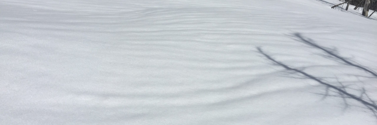
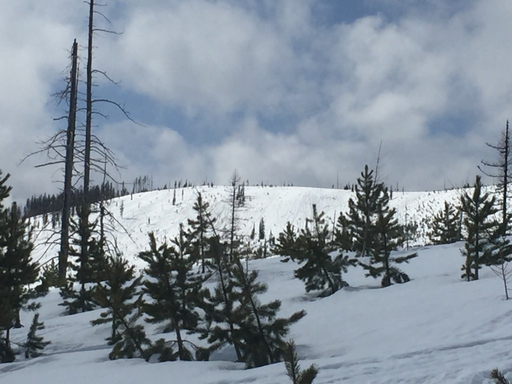
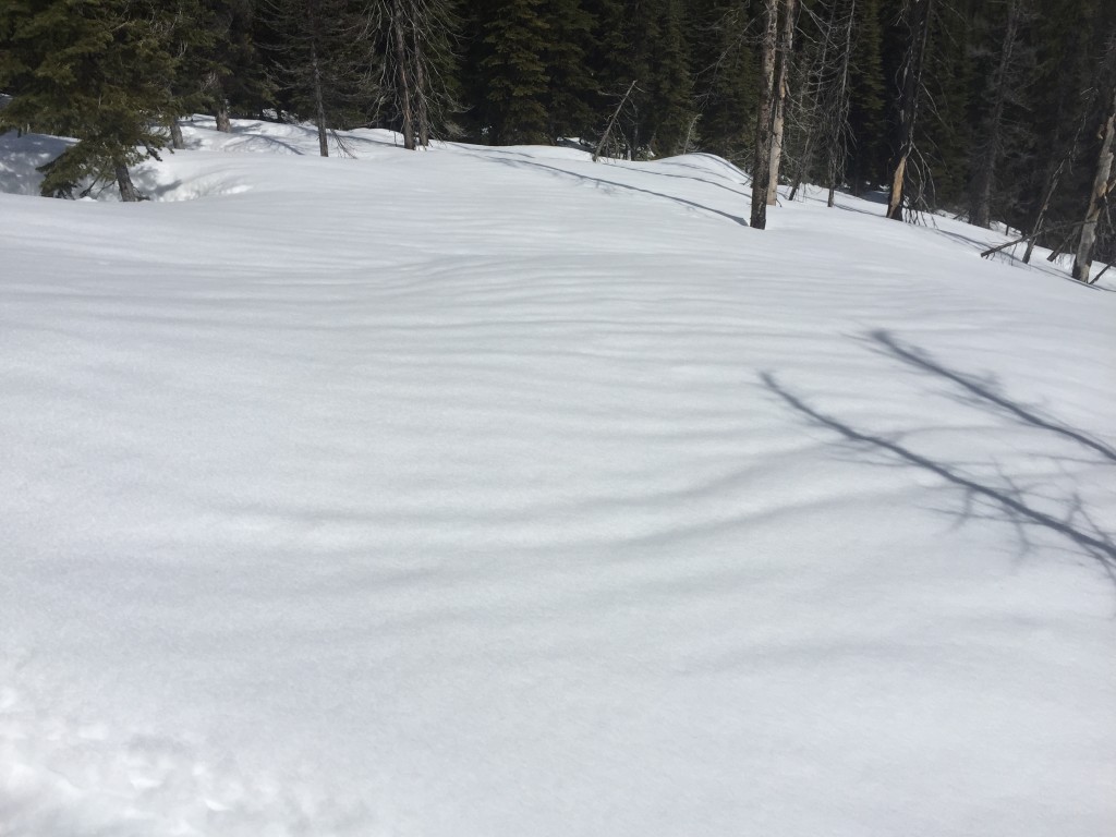
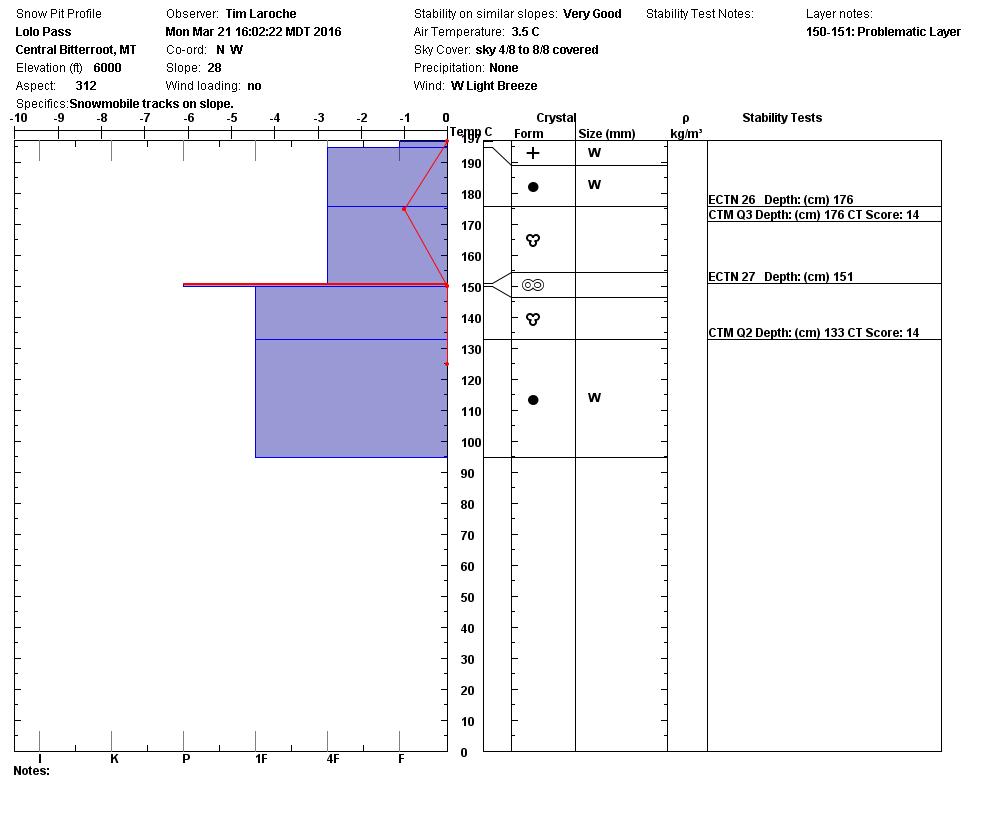
Tim and I rode from Lolo Pass to Granite Pass yesterday and found wet saturated snow. The snowpack is moving towards being isothermal and mostly wet rounded and polycrystals were seen yesterday. We found loose wet slides to be the primary concern yesterday and loose snow will continue to be the primary concern today in the form of loose wet in areas that are receiving still relatively warm or receiving significant solar radiation and loose dry in areas that are accumulating new cold snow.
The new snow should bond fairly well to the old warm snow surface but as more snow falls keep an eye on how the storm slab bonds. If snow totals are high enough and there is a significant new load of SWE give the snow time to adjust to the new load. With temperatures hovering right around freezing as the snow is starting to fall areas may have had the snow surface freeze and now the new storm snow will be accumulating on a good bed surface. Storm slabs will not be apparent first thing this morning but will potentially develop later in the day so plan accordingly when choosing when and where to recreate today.
Weather and Avalanche Outlook
Currently light snow is falling in the mountains of west central Montana and more is expected through noon. Above 6,000ft about 6+ inches is predicted in the forecast and snow totals will be greater towards the northern half of the advisory area. Winds will likely increase and shift to the west as the system moves into the region. The new snow will increase the avalanche danger in areas where enough snow has fallen to overload the interface or other weak layers in the snow pack.
Ski and ride safe, the next advisory will be issued on Thursday.


