
The current avalanche danger is LOW for the west central Montana backcountry. Small human triggered avalanches are possible in isolated or extreme terrain. Conditions will change rapidly today and can easily climb to moderate as more load is added to the snowpack. Stay aware of changing conditions and adjust plans accordingly.
Good morning, this is Logan King with the West Central Montana Avalanche Center’s avalanche advisory for Thursday, March 24th, 2016. This danger rating does not apply to operating ski areas, expires at midnight tonight and is the sole responsibility of the U.S. Forest Service.
Weather and Snowpack
Light snow continues to fall across the region and an additional 1-2 inches of snow was seen overnight, except in the northern tip of the advisory area where and additional 5 inches of snow has accumulated and .8 inches of SWE has been added to the snowpack. Winds tapered off overnight and are currently 18 gusting to 26 mph from the south at Deer Mountain and are expected to climb to 50+ mph today. Currently mountain temperatures are ranging from 26-32 degrees fahrenheit.
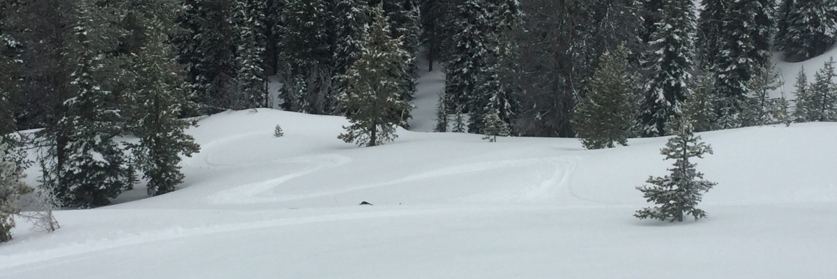
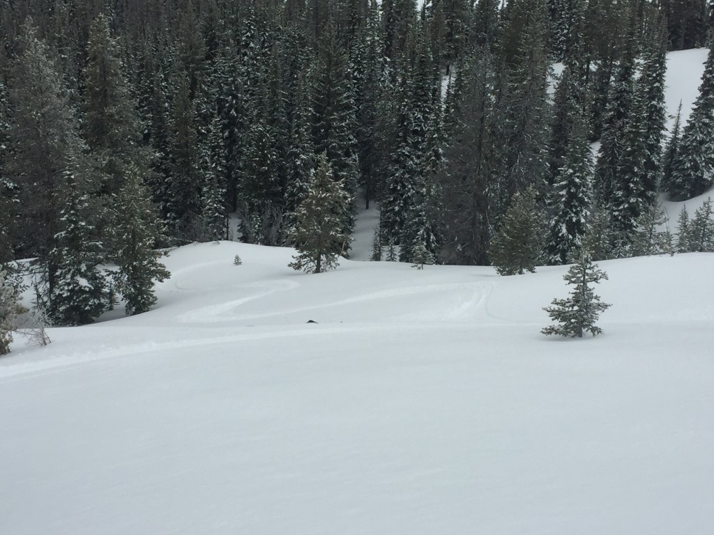
The primary avalanche concern today will be loose dry avalanches on terrain steeper than 35 degrees. Tim and I were in the Rattlesnake yesterday and found 2-3 inches of dry snow sitting on a crust. The new loose surface snow readily moves on steeper terrain and will be particularly problematic in areas that have terrain traps that increase the consequences of getting knocked off your feet or going for a ride in the loose snow. The North Fork Jocko snotel sight is reporting 5 inches of snow and .8 inches of SWE this morning and may have formed a small soft slab but with light winds and cool temperatures will more likely behave as a larger loose snow avalanche that has more snow to entrain upping the consequences further.
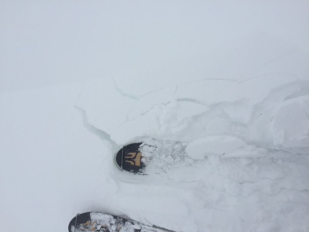
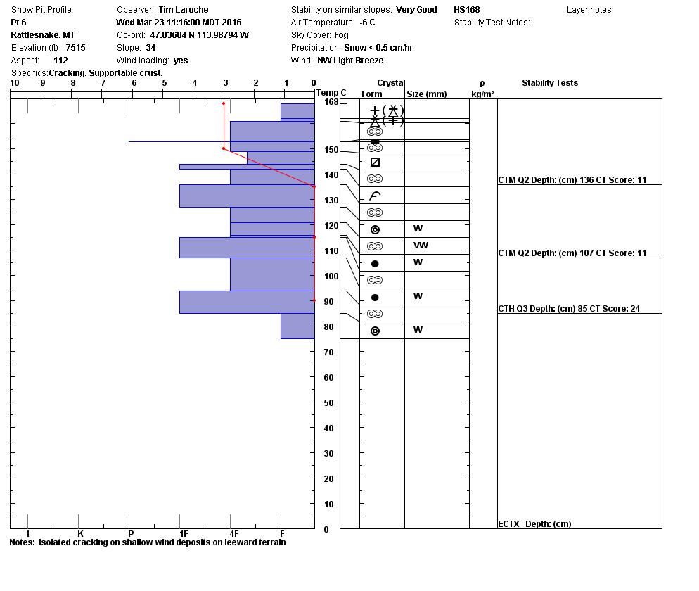
Winds dropped off overnight but are already slowly climbing back up this morning. With strong gusting winds yesterday and today coupled with new loose snow for transport windslabs have the potential to be problematic as they continue to grow. Currently windslabs are small and isolated to specific lee terrain and are generally above about 7,500 feet. Carefully evaluate any slope before recreating to determine if it has a windload that has the potential to propagate and fail as a slab.
Weather and Avalanche Outlook
Light snow is expected to continue and intensify throughout the day today and is predicted to continue through the end of the week. Winds are also expected to intensify over the next 24 hours to 50+ mph gusts. Avalanche danger will increase as snow and wind continue to impact the advisory area.
Ski and ride safe, the next advisory will be issued by Travis on Saturday.


