Good Morning, this is Logan King with an early season conditions update.
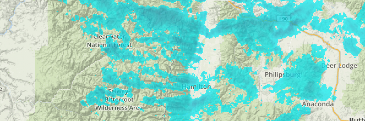
A significant storm has rolled into West Central Montana bringing cool temps, wind and snow. The storm system started working its way into the region early Sunday and has since dropped 4-12 inches of snow at mountain locations across the advisory area. The new snow; as enticing as it may be warrants some close attention.
Primarily the new snow will require some time to settle. Thats right, the ground counts as a bed surface and the snow will require time to bond to the ground in areas where little or no snow had fallen. At higher elevations and some cold northern aspects where thin snowpacks have existed prior to the new snows arrival, look for a weak basal facet layer that likely developed during cold nights in the shallow snowpack. The storm also came in with some wind, Point 6 shows winds peaking at 40+mph midday Sunday and are sustained at 20-30mph this morning. With new snow available for transport and noteworthy winds, keep an eye out for areas where windslabs and pockets of wind affected snow may be lurking.
This is the time of year to get your head on right, take your time and don’t rush into potentially dangerous situations. Take a class or re-read your favorite avalanche book. We have been hearing a few reports regarding conditions and will be starting regular avalanche advisories next week, so as always if you do venture out please share what you find through our public observation page.


