
The current avalanche danger for West Central Montana is CONSIDERABLE on steep wind loaded slopes and and a MODERATE avalanche danger exits on all other slopes.
Good morning, this is Logan King with the West Central Montana Avalanche Center’s avalanche advisory for Saturday, December 24th, 2016. This danger rating does not apply to operating ski areas, expires at midnight tonight and is the sole responsibility of the U.S. Forest Service.
Weather and Snowpack
A storm system started working it’s way into the region yesterday afternoon and has deposited a trace to 2 inches of snow across West Central Montana so far. Mountain temperatures this morning are hovering in the low 20’s and winds are currently out of the east to south east and sustained in the teens at Point Six and Deer Mountain.
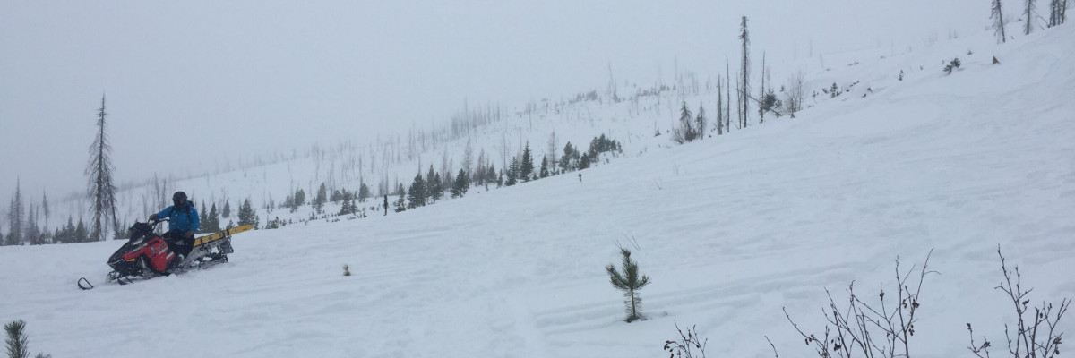
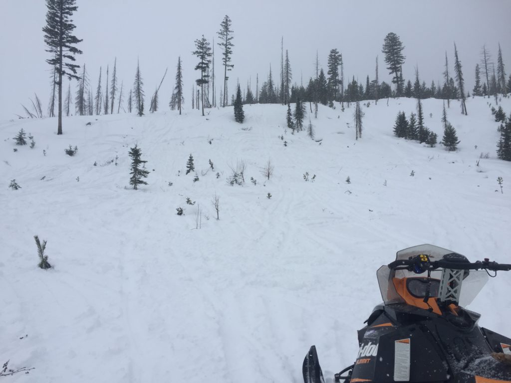
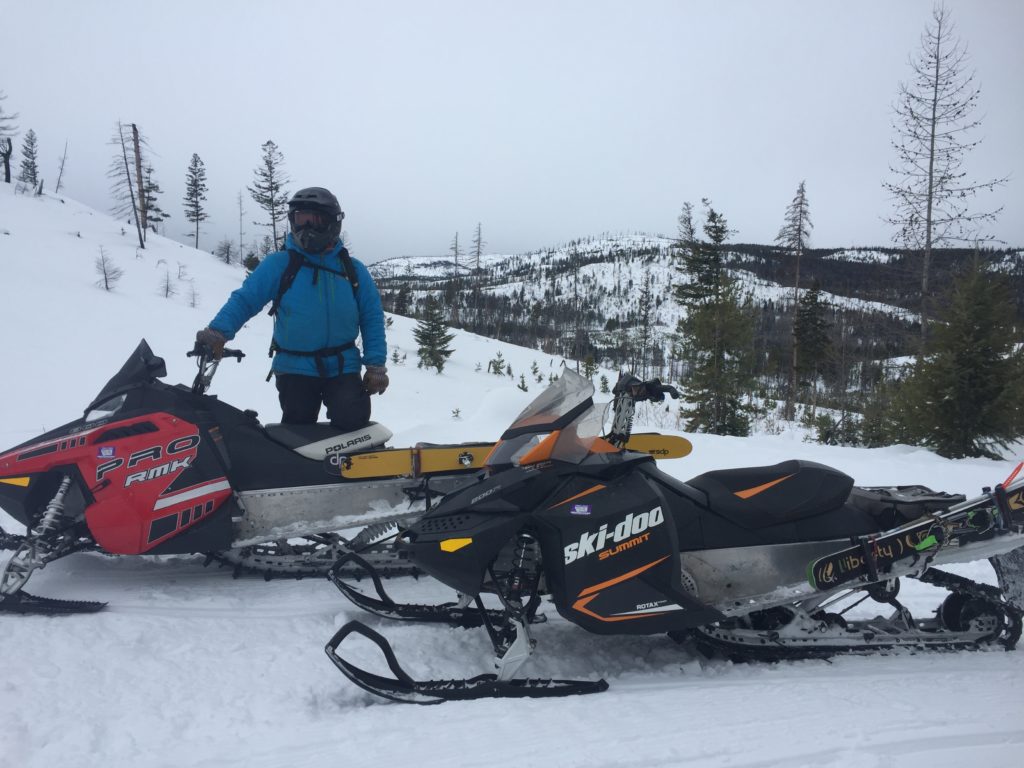
Yesterday Travis and I rode into the Swan Range and found scoured ridges and firm wind affected snow lying across steep slopes with facets and unconsolidated snow at the bottom (Video). We opted to find some safer terrain to travel on and relocated to the Missions. We found the snow in the Southern Missions to be similar to conditions in the Rattlesnake earlier this week, and the primary concern will continue to be windslabs.
There is abundant evidence of wind affected snow throughout the advisory area and features that have wind deposits will be sensitive to triggers. Be very cautious of wind affected terrain and continue to reevaluate wind and how it is affecting conditions throughout the day as wind intensities and directions are projected to change today.
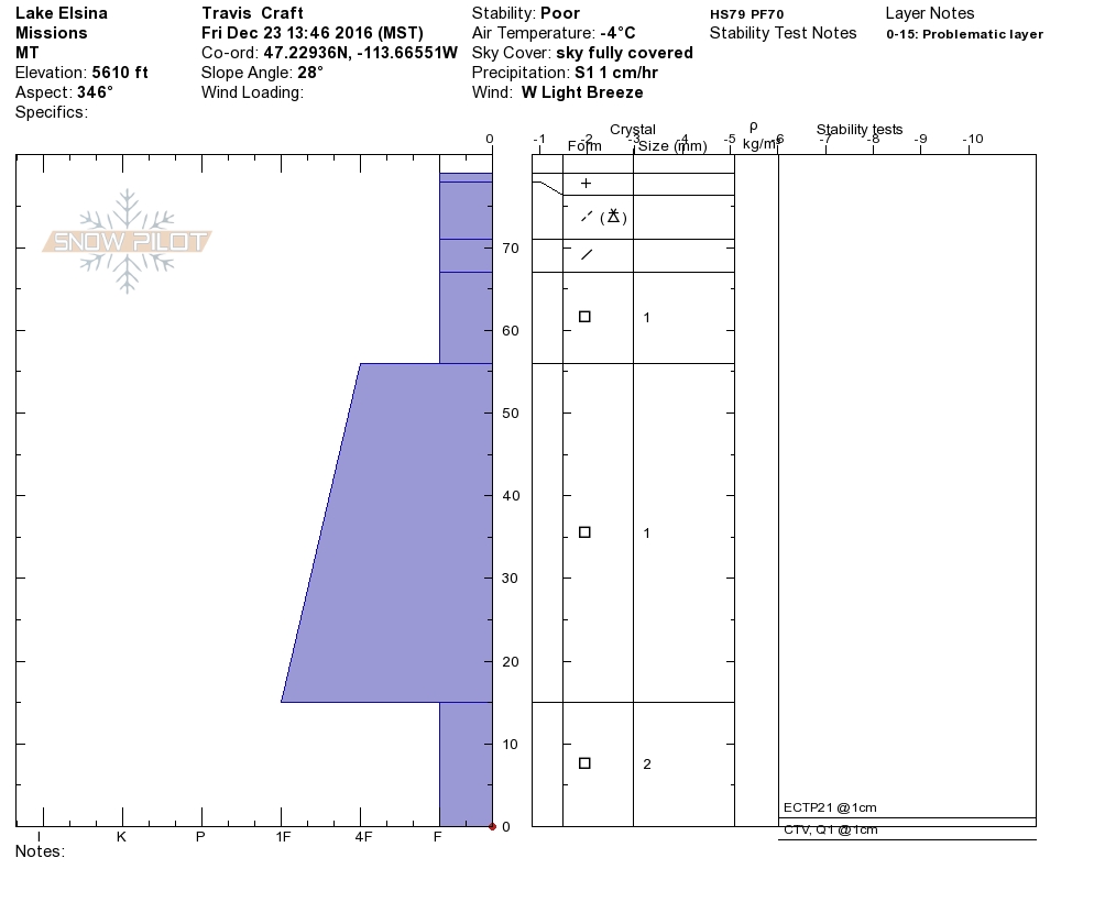
The facets in the snowpack have been gaining strength but we are still finding facets and depth hoar that continue to fail near the ground. Avoid terrain where facets and persistent weak layers exist if there is any cohesive snow sitting above them even a slight density change the cohesive snow continues to act as a slab sitting on the week facets and propagate failures readily. The facets are most prevalent in areas where a shallow snowpack exist, and continue to be reactive and propagate in stability test (Video).
With the season in full swing, now is a great time to brush up or further develop your beacon skills. The beacon park is up and running at the Driftriders Hut outside of Seeley. We will provide updates as our other beacon parks get set up for you to practice on or break in that new beacon you got this holiday season.
Avalanche and Weather Outlook
Mountain snow and wind looks to develop through today bringing anywhere from 3-10″ inches of snow by tonight. Watch the falling snow as it will add stress to the snowpack and if significant accumulations occur give the snow some time to settle and adjust to the new load. Snow will continue through tonight and into tomorrow morning but accumulation rates will begin tapering off over night.
I will issue the next advisory on Tuesday, December 27th, 2016.
Happy Holidays, ski and ride safe.


