Posted:
Dec 28, 2016 @ 6:47 am

The current avalanche danger is HIGH in the Bitterroot Range of the West Central Montana backcountry.  On all other slopes in the advisory area the avalanche danger is Considerable.  Travel on wind loaded slopes is not recommended.  This means careful snowpack evaluation, cautious route-finding and conservative decision-making are essential to recreate today.

Good morning, this is Travis Craft with the West Central Montana Avalanche Center’s avalanche advisory for December 28, 2016.  This danger rating does not apply to operating ski areas, expires at midnight tonight and is the sole responsibility of the U.S. Forest Service.

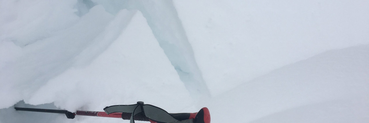
Weather and Snowpack

Mountain temperatures range from 11 F to 23 F in the region.  In the Bitterroot winds are 7 mph with gusts of 14 out of the WSW.  In the northern part of the advisory area, at Point Six, winds are reading 31 mph with gusts of 40 mph out of the west.  The forecast area received 2 to 12 inches of new snow in the last 24 hours with the greater portion of snow falling in the southern half of the advisory area.  The new snow had SWE’s ranging from .4 to 1.3 inches of water.

In the last 24 hours the advisory area has received a large new load of snow accompanied with high winds.  Snowbowl ski patrol reported 3 inches of new snow and slabs developing during the day.  Lost Trail Ski Area reported 14 new inches of snow and Chair 4 was closed due to wind.  The primary avalanche concerns are wind slabs that have developed during the storm.

Avalanche and Weather Outlook

Widespread light to moderate snow and gusty winds will continue this morning and early afternoon for the mountains of western Montana.  Some isolated snow bands could produce localized areas of 1 inch per hour snow rates for a period of time this morning.  Expect the avalanche danger to increase with continued snow and wind.

I will issue the next advisory tomorrow.

Ski and ride safe.


READ FULL ADVISORY  

Problem 1 - Wind Slabs

  • TYPE

    wind-slabs

    Wind Slabs

    Release of a cohesive layer of snow (a slab) formed by the wind.  Wind typically erodes snow from the upwind sides of terrain features and deposits snow on the downwind side.  Wind slabs are often smooth and rounded and sometimes sound hollow, and can range from soft to hard. Wind slabs that form over a persistent weak layer (surface hoar, depth hoar, or near-surface facets) may be termed Persistent Slabs or may develop into Persistent Slabs.

  • SIZE

    5-6

    2-3 (Large)

    The potential size of avalanche resulting from this problem.

  • LIKELIHOOD

    Likelihood-5

    Likely

    The likelihood of an avalanche resulting from this problem.

  • ADDED DANGER

    Increased Slope Danger

    Increased/Added Danger

    There is an increased risk of avalanches on these slopes:

    N - North
    NE - Northeast
    E - East
    SE - Southeast
    S - South
    SW - Southwest
    W - West
    NW - Northwest

Wind slabs are present on all aspects.  Travel on wind loaded terrain is not recommended.

FORECAST & OUTLOOK

Snow and wind are predicted to continue today.  The avalanche danger will increase with these conditions.

This information is the sole responsibility of the Forest Service and does not apply to operating ski areas. The avalanche danger rating expires at midnight tonight but the information can help you make a more informed decision regarding travel in avalanche terrain for the next few days.

Our advisory area includes National Forest System lands in the Bitterroot Mountains from Lost Trail Pass north to Granite Pass, the Rattlesnake Mountains north of Missoula and the Southern Swan and Mission Mountains near Seeley Lake, MT. Avalanche information for the Lookout Pass/St. Regis Basin area is available from the Idaho Panhandle Avalanche Center.