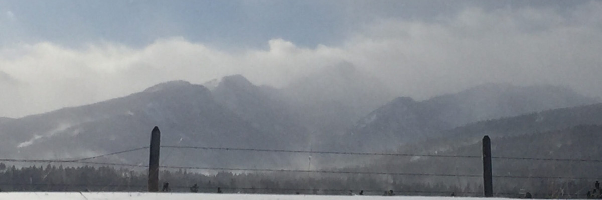
The current avalanche danger is HIGH in the Bitterroot Range of the west central Montana backcountry on steep(>30) wind-loaded slopes. On all other slopes in the advisory area the avalanche danger is CONSIDERABLE. Travel on wind-loaded slopes is not recommended. This means careful snowpack evaluation, cautious route-finding and conservative decision-making are essential to recreate today.
Good morning, this is Travis Craft with the West Central Montana Avalanche Center’s avalanche advisory for December 29, 2016. This danger rating does not apply to operating ski areas, expires at midnight tonight and is the sole responsibility of the U.S. Forest Service.
Weather and Snowpack
Mountain temperatures range from 6 F to 14 F in the region. In the Bitterroot, winds are 13 mph with gusts of 18 mph out of the SE and Point Six, in the northern part of the advisory area, winds are reading at 15 mph with gusts of 20 mph out of the SW. The forecast area received 5 to 24 inches of new snow in the last 48 hours favoring the southern region. The new snow had SWE’s ranging from .4 to 1.5 inches of water.
Logan and I rode the sleds into Twin Lakes in the central Bitterroots yesterday. We found over 2 feet of new snow and winds actively loading leeward terrain. We observed 4 natural wind slab avalanches that had released during the last 24 hours. Downing Mountain Lodge sent us observations over the last 72 hours of wind slabs forming 1 to 2 feet deep and were touchy to triggers. Matt was at Lolo Pass and observed storm slabs that were easily triggered by skiers and leeward terrain being actively loaded by wind.
The primary avalanche problem today are wind slabs. The region has received several inches of new snow and the winds have transported snow to leeward terrain. We observed these slabs releasing naturally and John from Downing Mountain Lodge in the central Bitterroot, described them as touchy to human triggers.
The second avalanche concern is the storm slab. These were observed by Matt at Lolo Pass and were easily triggered by a skier. These range in depth throughout the area from 5 inches to over 2 feet.
The last concern are dry loose releases. These sloughs can be very large and could potentially carry a rider into a terrain trap (rocks, cliffs,or trees).
Bullseye clues to instability from yesterday to aid in your assessment of instability in the mountains: natural avalanche activity, whumfing, shooting cracks from skis, new snow, and active wind transport of snow. These signs help to identify the snowpack is unstable and should be given some time to adjust to the new load of snow. Choose low angle terrain to get a feel for current conditions.
Avalanche and Weather Outlook
The snowpack needs time to adjust to the new snow. The advisory area will see gusty winds today which will continue to load leeward terrain. The region is forecasted to have a new system move into the area tonight and Friday bringing with it low snow totals. With the current winds expect the avalanche danger to remain the same.
I will issue the next advisory on December 31, 2016.
Ski and ride safe.


